Kingman in Mohave County, Arizona — The American Mountains (Southwest)
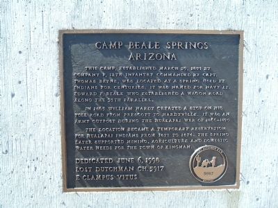
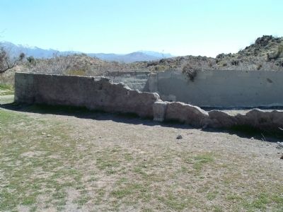
Camp Beale Springs Arizona
In 1865 William Hardy created a stop on his toll road from Prescott to Hardyville. It was an Army outpost during the Hualapai War of 1866-1870.
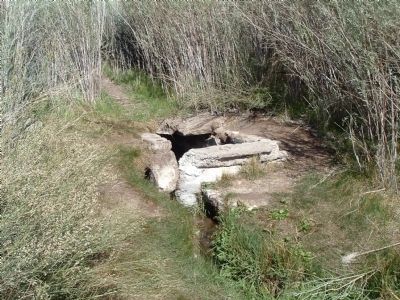
The location became a temporary reservation for Hualapai Indians from 1871 to 1874. The spring later supported mining, agriculture and domestic water needs for the town of Kingman.
Erected 1998 by Lost Dutchman Ch. 5917, E Clampus Vitus.
Topics and series. This historical marker is listed in these topic lists: Forts and Castles • Native Americans • Natural Resources • Notable Places • Wars, US Indian. In addition, it is included in the E Clampus Vitus series list. A significant historical date for this entry is March 25, 1871.
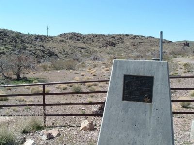
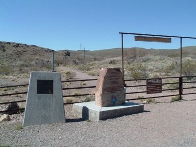
Location. 35° 12.22′ N, 114° 4.912′ W. Marker is in Kingman, Arizona, in Mohave County. Marker is at the intersection of Fort Beale Road and Wagon Trail Road, on the left when traveling north on Fort Beale Road. Touch for map. Marker is in this post office area: Kingman AZ 86401, United States of America. Touch for directions.
Other nearby markers. At least 8 other markers are within 2 miles of this marker , measured as the crow flies. Ha' Qa' Muwe: (here, next to this marker); Charles Metcalfe Park (approx. 1˝ miles away); Lt. Edward Fitzgerald Beale (approx. 1˝ miles away); United States Army (approx. 1˝ miles away); Wagon Route (approx. 1˝ miles away); Kingman Veteran's Memorial (approx. 1.6 miles away); Gymnasium (approx. 1.6 miles away); Santa Fe Locomotive No. 3759 (approx. 1.6 miles away). Touch for a list and map of all markers in Kingman.
Credits. This page was last revised on July 26, 2018. It was originally submitted on April 2, 2010, by Bill Kirchner of Tucson, Arizona. This page has been viewed 3,627 times since then and 64 times this year. Photos: 1, 2, 3, 4, 5. submitted on April 2, 2010, by Bill Kirchner of Tucson, Arizona. • Syd Whittle was the editor who published this page.
