
Locust Grove in Orange County, Virginia — The American South (Mid-Atlantic)
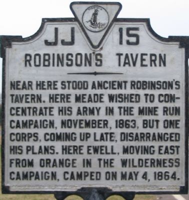
Robinson's Tavern
Photographed by Craig Swain, January 5, 2008
1. Robinson's Tavern Marker
Erected 1929 by Conservation & Development Commission. (Marker Number JJ-15.)
Topics and series. This historical marker is listed in this topic list: War, US Civil. In addition, it is included in the Virginia Department of Historic Resources (DHR) series list. A significant historical month for this entry is May 1863.
Location. 38° 18.322′ N, 77° 48.529′ W. Marker is in Locust Grove, Virginia, in Orange County. It is at the intersection of Constitution Highway (State Highway 20) and Gold Dale Road (County Route 611), on the right when traveling west on Constitution Highway. Located between the highway and the parking lot for a convenience store, on the northeast corner of the intersection. Touch for map. Marker is at or near this postal address: 32345 Constitution Hwy, Locust Grove VA 22508, United States of America. Touch for directions.

Regionally, this marker
this page online
Other nearby markers. At least 8 other markers are within 3 miles of this marker, measured as the crow flies: Mine Run Campaign (a few steps from this marker); a different marker also named The Mine Run Campaign (approx. 2.1 miles away); a different marker also named The Mine Run Campaign (approx. 2.1 miles away); The Battle of Payne’s Farm (approx. 2.1 miles away); a different marker also named The Mine Run Campaign (approx. 2.1 miles away); a different marker also named The Battle of Payne’s Farm (approx. 2.1 miles away); a different marker also named The Battle of Payne’s Farm (approx. 2.2 miles away); The Apperson Family and Lake of the Woods (approx. 2.2 miles away). Touch for a list and map of all markers in
Photographed by Craig Swain, January 5, 2008
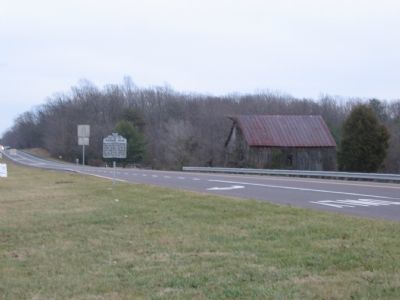
2. Robinson's Tavern Marker
Constitution Highway (the historical Orange Turnpike, and modern Highway 20) running behind the marker leads to the Wilderness Battlefield and beyond to Chancellorsville. The Orange Plank Road ran parallel but further to the south. The plan road offered a firm, but more round about, path for wagons.
Other markers no longer nearby. Face Off (was about 700 feet away, measured in a direct line but has been permanently removed); a different marker also named Mine Run Campaign (was about 700 feet away but has been permanently removed); a different marker also named Mine Run Campaign (was approx. 2.1 miles away but has been replaced with another marker now near it); a different marker also named The Mine Run Campaign (was approx. 2.1 miles away but has been permanently removed).
Regarding Robinson's Tavern. This marker is one in a series that detail the Mine Run Campaign. See the Mine Run Virtual Tour by Markers link below for a full list.
Also see . . . Mine Run Virtual Tour by Markers. Series of markers that detail the Mine Run Campaign. (Submitted on January 13, 2008, by Craig Swain of Leesburg, Virginia.)
Additional commentary.
1. Robinson vs. Roberston
Locally, and to Federal troops (and on their maps), the tavern was - and is - called "Robertson's." However, Robinson's is the actual name, derived from the Robinson family that built the place ca. 1814. A stepdaughter, Mary Ann
Photographed by Pete Payette, March 19, 2012
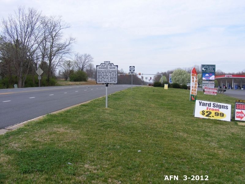
3. Robinson's Tavern Marker
— Submitted February 24, 2026, by Evan Dwyer of Richmond, Virginia.
Photographed by Craig Swain, February 16, 2008
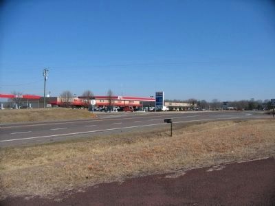
4. Location of Robinson's Tavern
The tavern stood at the northeast corner of the intersection.
Photographed by Pete Payette, March 2, 2012
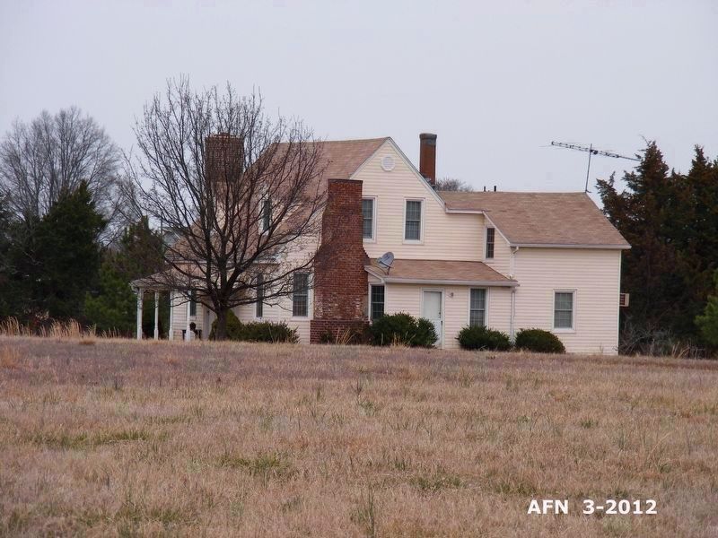
5. Robinson's Tavern (private residence)
This is the original house, located just north of the convenience store. It was moved in 1994.
Photographed by Pete Payette, March 2, 2012
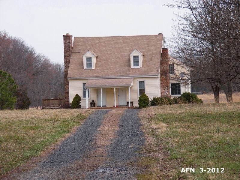
6. Robinson's Tavern (private residence)
The original house, front view.

Photographed by Evan Dwyer, January 6, 2026
7. Robinson's Tavern Well
The tavern's well still sits in its original location at the intersection.
Credits. This page was last revised on February 28, 2026. It was originally submitted on January 13, 2008, by Craig Swain of Leesburg, Virginia. This page has been viewed 4,012 times since then and 102 times this year. Last updated on February 24, 2026, by Evan Dwyer of Richmond, Virginia. Photos: 1, 2. submitted on January 13, 2008, by Craig Swain of Leesburg, Virginia. 3. submitted on May 2, 2017, by Pete Payette of Orange, Virginia. 4. submitted on February 17, 2008, by Craig Swain of Leesburg, Virginia. 5, 6. submitted on May 2, 2017, by Pete Payette of Orange, Virginia. 7. submitted on February 24, 2026, by Evan Dwyer of Richmond, Virginia. • Devry Becker Jones was the editor who published this page.
