Florin in Mount Joy in Lancaster County, Pennsylvania — The American Northeast (Mid-Atlantic)
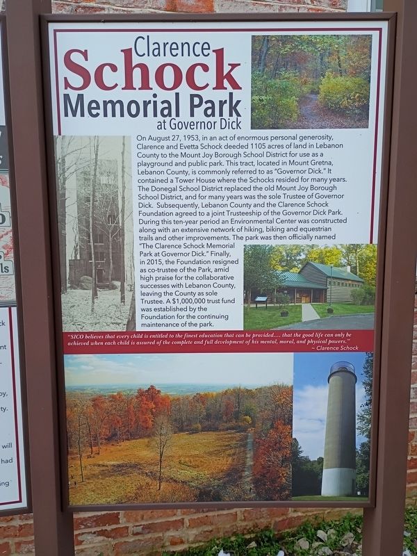
Clarence Schock Memorial Park
At Governor Dick
Photographed by William Pope, February 25, 2026
1. Clarence Schock Memorial Park Marker
this page online
"SICO believes that every child is entitled to the finest education that can be provided.... that the good life can only be achieved when each child is assured of the complete and full development of his mental, moral, and physical powers." - Clarence Schock
Topics. This historical marker is listed in these topic lists: Charity & Public Work • Fraternal or Sororal Organizations • Parks & Recreational Areas. A significant historical date for this entry is August 27, 1953.
Location. 40° 6.727′ N, 76° 30.46′ W. Marker is in Mount Joy, Pennsylvania, in Lancaster County. It is in Florin. It is at the intersection of Fairview Street and Second Street, on the right when traveling south on Fairview Street. This marker is located at the Mount Joy Area Historical Society Building. Touch for map. Marker is at or near this postal address: 120 Fairview Street, Mount Joy PA 17552, United States of America. Touch for directions.

Regionally, this marker is in South-Central Pennsylvania, specifically in Pennsylvania Dutch Country, and in the Susquehanna Valley. It is also in the American Northeast and
Photographed by William Pope, February 25, 2026
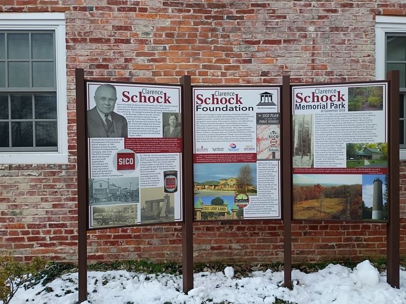
2. Clarence Schock Memorial Park Marker
Other nearby markers. At least 8 other markers are within walking distance of this marker: Clarence Schock Foundation (here, next to this marker); Clarence Schock (here, next to this marker); Cemetery Road School House (here, next to this marker); Macedonia African Methodist Episcopal Church (a few steps from this marker); Old Standby Park (about 400 feet away, measured in a direct line); The Old Bethel Church (about 500 feet away); The Washington House (about 700 feet away); Gerberich-Payne Shoe Company (about 700 feet away). Touch for a list and map of all markers in Mount Joy.
Credits. This page was last revised on February 26, 2026. It was originally submitted on February 26, 2026, by William Pope of Marietta, Pennsylvania. This page has been viewed 59 times since then. Photos: 1, 2. submitted on February 26, 2026, by William Pope of Marietta, Pennsylvania. • Bill Pfingsten was the editor who published this page.
