Wooster Square in New Haven in South Central Region, Connecticut — The American Northeast (New England)
Jocelyn Square
Photographed by Conrad Ward, March 15, 2025
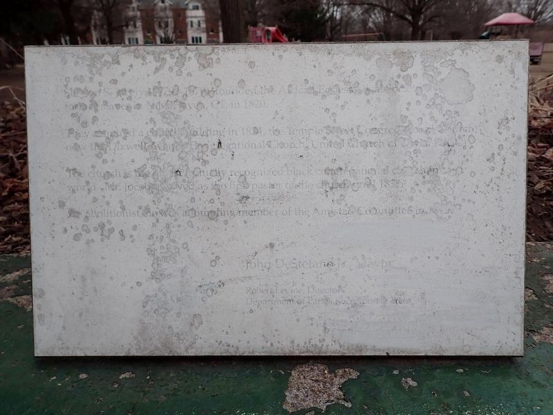
1. Jocelyn Square Marker
Unfortunately, the marker has weathered to a point that it is hard to read.
Simeon S. Jocelyn (1799-1879) founded the African Ecclesiastical Society for [indecipherable] slaves in New Haven, CT, in 1820.
They acquired a church building in 1824, the Temple Street Congregational Church, now the Dixwell Avenue Congregational Church United Church of [indecipherable].
The church is the oldest formally recognized black congregational church in the world. Mr. Jocelyn served as the first pastor of the church until 1835.
An abolitionist, he was a founding member of the Amistad Committee in [indecipherable].
Erected by City of New Haven.
Topics. This historical marker is listed in these topic lists: Abolition & Underground RR • African Americans • Religion & Religious Structures. A significant historical year for this entry is 1820.
Location. 41° 18.756′ N, 72° 54.575′ W. Marker has been reported damaged. Marker is in New Haven in South Central Region, Connecticut. It is in Wooster Square. It is on East Street south of Humphrey Street, on the right when traveling south. The marker stands in Jocelyn Square Park. Touch for map. Marker is at or near this postal address: 493 East St, New
this page online

Regionally, this marker is in the Connecticut River Valley and on the Connecticut Shoreline. It is also in the American Northeast, in New England, and on the Eastern Seaboard. Globally, it is in the North Atlantic Region, North America, the Western Hemisphere, the Western World, and the Anglosphere. Historically, it finds itself in what was once New Haven County and also one of the original Thirteen Colonies.
Other nearby markers. At least 8 other markers are within walking distance of this location: Firehouse 19 (approx. ¼ mile away); September 11th Memorial (approx. ¼ mile away); New Haven World War Two Veterans Memorial (approx. ¼ mile away); St. Stanislaus Servicemen (approx. 0.3 miles away); In Memory of Our Classmates (approx. 0.6 miles away); Saint Michael Church (approx. 0.6 miles away); David Wooster (approx. 0.7 miles away); The Connecticut Twenty-Ninth Colored Regiment, C. V. Infantry (approx. 0.7 miles away). Touch for a list and map of all markers in New Haven.
Also see . . .
1. Dixwell Avenue Congregational United Church of Christ (Wikipedia).

Photographed by Conrad Ward, March 15, 2025
2. Jocelyn Square Marker
2. Simeon Jocelyn (Wikipedia). (Submitted on February 27, 2026.)
Credits. This page was last revised on May 19, 2026. It was originally submitted on February 27, 2026, by Conrad Ward of Guilford, Connecticut. This page has been viewed 45 times since then. Photos: 1, 2. submitted on February 27, 2026, by Conrad Ward of Guilford, Connecticut. • Devry Becker Jones was the editor who published this page.
