Brooklyn Heights in Kings County, New York — The American Northeast (Mid-Atlantic)
Dawn Redwood

Photographed by Jack DePalma, February 28, 2026
1. Dawn Redwood Marker
Long thought extinct, the dawn redwood was known only from fossil evidence until July 21, 1943, when Chinese forester Chan Wang found a living tree growing in Moudao, Sichuan.
The specimen in front of you-grown from wild-collected seeds received by Brooklyn Botanic Garden (BBG) via the Arnold Arboretum in 1948 from Professor W.C. Cheng-was planted as a seedling by BBG director Dr. George Avery.
Ancestors of this fast-growing, deciduous tree once formed vast forests in higher latitudes in the Northern Hemisphere; today it is commonly cultivated in parks and gardens around the world.
[Captions:]
Grove of dawn redwoods at Brooklyn Botanic Garden
Fossilized Metasequoia leaves: This genus existed alongside the dinosaurs!
Topics. This historical marker is listed in these topic lists: Horticulture & Forestry • Paleontology • Parks & Recreational Areas. A significant historical date for this entry is July 21, 1943.
Location. 40° 41.799′ N, 73° 59.762′ W. Marker is in Brooklyn, New York, in Kings County. It is in Brooklyn Heights. It is on Willow Street north of Pierrepont Street, on the left when traveling south.
this page online

Regionally, this marker is in New York City and on Long Island. It is also in the American Northeast, in the Mid-Atlantic, and on the Eastern Seaboard. Globally, it is in the North Atlantic Region, North America, the Western Hemisphere, the Western World, and the Anglosphere. Historically, it finds itself in what was once New Netherland and also one of the original Thirteen Colonies.
Other nearby markers. At least 8 other markers are within walking distance of this marker: 155 - 157 - 159 Willow Street (a few steps from this marker); Brooklyn Heights Historic District (about 300 feet away, measured in a direct line); Brooklyn Heights / Downtown Brooklyn (about 500 feet away); Arthur Miller (about 500 feet away); W.H. Auden (about 600 feet away); Four Chimneys (about 600 feet away); Thomas Wolfe (about 600 feet away); Fort Stirling Park (about 600 feet away). Touch for a list and map of all markers in Brooklyn.
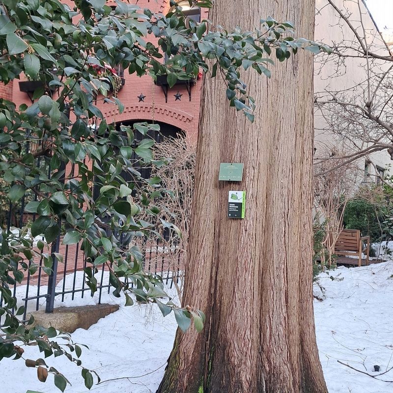
Photographed by Jack DePalma, February 28, 2026
2. The Dawn Redwood
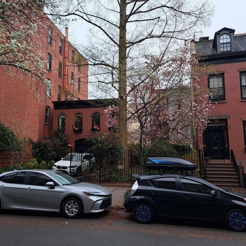
Photographed by Jack DePalma, April 4, 2026
3. Dawn Redwood and Marker
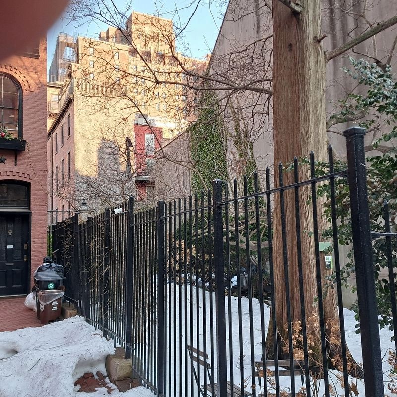
Photographed by Jack DePalma, February 28, 2026
4. The Dawn Redwood
Credits. This page was last revised on April 8, 2026. It was originally submitted on February 28, 2026, by Jack DePalma of Brooklyn,NY, New York. This page has been viewed 65 times since then. Photos: 1, 2. submitted on February 28, 2026, by Jack DePalma of Brooklyn,NY, New York. 3. submitted on April 4, 2026, by Jack DePalma of Brooklyn,NY, New York. 4. submitted on February 28, 2026, by Jack DePalma of Brooklyn,NY, New York. • Devry Becker Jones was the editor who published this page.
