Midlothian in Chesterfield County, Virginia — The American South (Mid-Atlantic)
Mid-Lothian Mines and Rail Roads
Photographed by Evan Dwyer, January 2, 2026
1. Mid-Lothian Mines and Rail Roads Marker
A new format has been adopted and a smaller marker with essentially identical information has taken the place of the original.
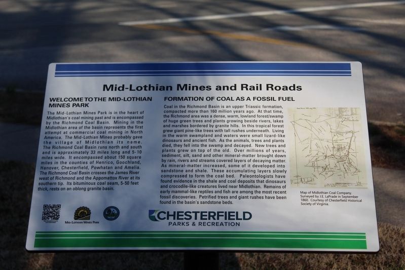
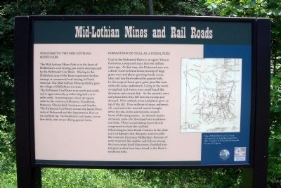
Welcome to the Mid-Lothian Mines Park
The Mid-Lothian Mines Park is in the heart of Midlothian’s coal mining past and is encompassed by the Richmond Coal Basin. Mining in the Midlothian area of the Basin represents the first attempt at commercial coal mining in North America. The Mid-Lothian Mines probably gave the village of Midlothian its name. The Richmond Coal Basin runs north and south and is approximately 33 miles long and 5 to 10 miles wide. It encompasses about 150 square miles in the counties of Henrico, Goochland, Hanover, Chesterfield, Powhatan and Amelia. The Richmond Coal Basin crosses the James River west of Richmond and the Appomattox River at its southern tip. Its bituminous coal seam, 5 to 50 feet thick, rests on an oblong granite basin.
Formation of Coal as a Fossil Fuel
Coal in the Richmond Basin is an upper Triassic formation, compacted more than 160 million years ago. At that time, the Richmond area was a dense, warm, lowland forest/swamp of huge green trees and plants growing beside rivers, lakes and marshes bordered by granite hills. In this tropical forest grew giant pine-like trees with
this page online
Erected 2009 by Chesterfield Heritage Alliance, Chesterfield County Parks & Recreation.
Topics. This historical marker is listed in these topic lists: Industry & Commerce • Paleontology • Parks & Recreational Areas • Railroads & Streetcars.
Location. 37° 29.697′ N,
Photographed by Evan Dwyer, January 2, 2026
2. Mid-Lothian Mines and Rail Roads Marker
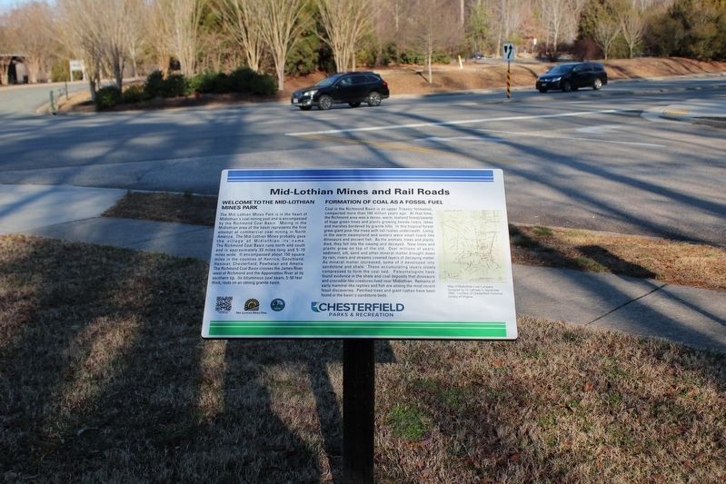
Context view of new introductory marker. The sidewalk, entrance, park sign, and parking lot visible across the road have all been modified since the park transferred to Chesterfield County administration.

Regionally, this marker is in Virginia’s Piedmont, in Central Virginia, and in the Richmond Metropolitan Area. It is also in the American South, specifically in the Upper South, and on the Eastern Seaboard. Globally, it is in the North Atlantic Region, North America, the Western Hemisphere, the Western World, and the Anglosphere. Historically, it finds itself in what was once the territory of the Mississippian Culture, one of the original Thirteen Colonies, one of the Confederate States of America, and the Antebellum South.
Other nearby markers. At least 8 other markers are within walking distance of this marker: Headstock (about 300 feet away, measured in a direct line); The Bermuda Hundred Campaign
Photographed by Bernard Fisher, June 5, 2010
3. Mid-Lothian Mines and Rail Roads Marker
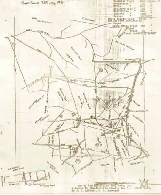
More about this marker. On the right of the marker is a "Map of Midlothian Coal Co.’s land. Surveyed by J.E. LaPrade in September 1860. Courtesy of Chesterfield Historical Society of Virginia."
Also see . . . Mid-Lothian Mines Park. Website homepage (Submitted on June 5, 2010, by Bernard Fisher of Richmond, Virginia.)
Photographed by Bernard Fisher, June 5, 2010
4. Mid-Lothian Mines Park
Photographed by Adam Margolis, July 18, 2012
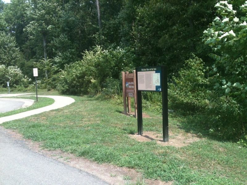
5. Mid-Lothian Mines and Rail Roads Marker
Photographed by Brandon D Cross
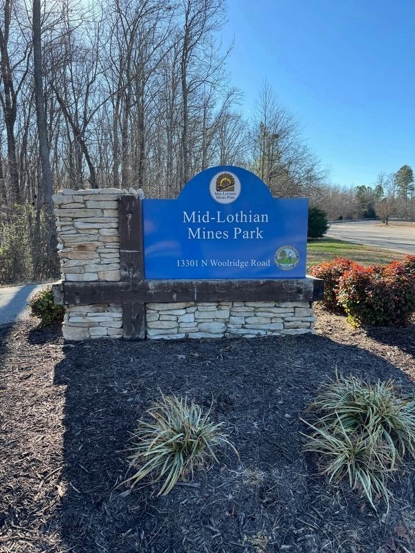
6. Mid-Lothian Mines Park Sign
Photographed by J.E. LaPrade, sep 1860
7. Map of Midlothian Coal Co.’s land.
Courtesy of Chesterfield Historical Society of Virginia.
Photographed by Evan Dwyer, January 2, 2026
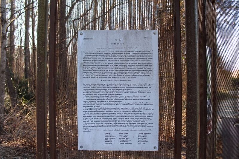
8. Duty on Coal
Text of a letter to the 5th Congress discussing petitioner requests for a duty on foreign coal to protect Virginia coal enterprises in 1798. This document is mounted on the signage pavilion at the park's east trailhead.
Credits. This page was last revised on March 2, 2026. It was originally submitted on June 5, 2010, by Bernard Fisher of Richmond, Virginia. This page has been viewed 1,987 times since then and 60 times this year. Last updated on March 1, 2026, by Evan Dwyer of Richmond, Virginia. Photos: 1, 2. submitted on March 1, 2026, by Evan Dwyer of Richmond, Virginia. 3, 4. submitted on June 5, 2010, by Bernard Fisher of Richmond, Virginia. 5. submitted on January 12, 2022, by Adam Margolis of Mission Viejo, California. 6. submitted on December 26, 2023, by Brandon D Cross of Flagler Beach, Florida. 7. submitted on June 5, 2010, by Bernard Fisher of Richmond, Virginia. 8. submitted on March 1, 2026, by Evan Dwyer of Richmond, Virginia. • Devry Becker Jones was the editor who published this page.
