Ripton in Addison County, Vermont — The American Northeast (New England)
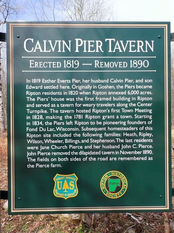
Calvin Pier Tavern
Erected 1819 - Removed 1890
Photographed by Conrad Ward, March 22, 2025
1. Calvin Pier Tavern Marker
In 1819 Esther Everts Pier, her husband Calvin Pier, and son Edward settled here. Originally in Goshen, the Piers became Ripton residents in 1820 when Ripton annexed 6,000 acres. The Piers' house was the first framed building in Ripton and served as a tavern for weary travelers along the Center Turnpike. The tavern hosted Ripton's first Town Meeting in 1828, making the 1781 Ripton grant a town. Starting in 1834, the Piers left Ripton to be pioneering founders of Fond Du Lac, Wisconsin. Subsequent homesteaders of this Ripton site included the following families: Heath, Ripley, Wilson, Wheeler, Billings, and Stephenson. The last residents were Jane Church Pierce and her husband John C. Pierce. John Pierce removed the dilapidated tavern in November 1890. The fields on both sides of the road are remembered as the Pierce farm.
Erected by U.S. Forest Service (Department of Agriculture) / Ripton Historical Society.
Topics. This historical marker is listed in these topic lists: Agriculture • Industry & Commerce • Settlements & Settlers. A significant historical year for this entry is 1819.
Location. 43° 57.504′ N, 73° 0.571′ W.
this page online

Regionally, this marker is in Vermont’s Champlain Valley. It is also in the American Northeast and in New England. Globally, it is in North America, the Western Hemisphere, the Western World, and the Anglosphere. Historically, it finds itself in what was once the Viceroyalty of New France and also the Vermont Republic.
Other nearby markers. At least 8 other markers are within 2 miles of this marker, measured as the crow flies: Robert Frost National Recreation Trail (about 400 feet away, measured in a direct line); Robert Frost Wayside (about 500 feet away); Robert Frost (about 700 feet away); Robert Frost Wayside Area (about 700 feet away); Homer Noble Farm (approx. half a mile away); Bread Loaf Inn (approx. 0.9 miles away); Orris C. Manning Memorial (approx. 1.8 miles away); Second Home of Daniel & Eleutheria Chipman (approx. 1.8 miles away). Touch for a list and map of all markers in Ripton.
Photographed by Conrad Ward, March 22, 2025
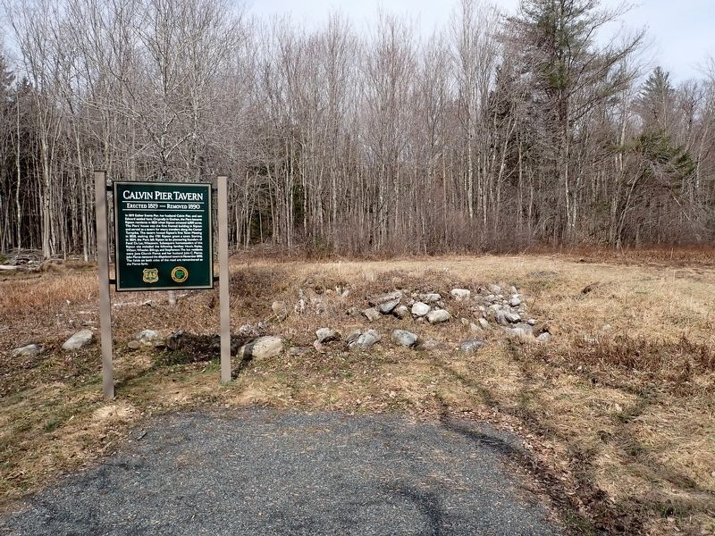
2. Calvin Pier Tavern Marker
Photographed by Conrad Ward, March 22, 2025
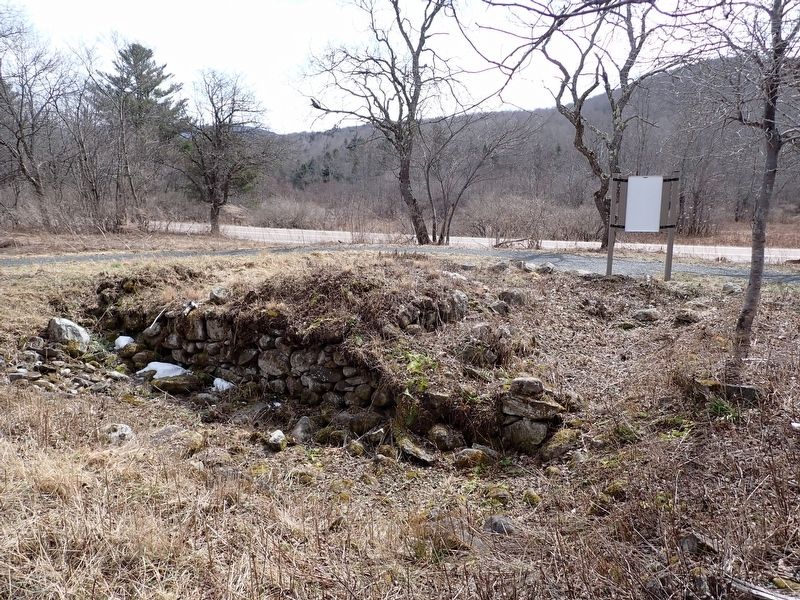
3. Calvin Pier Tavern remains
Credits. This page was last revised on March 4, 2026. It was originally submitted on March 1, 2026, by Conrad Ward of Guilford, Connecticut. This page has been viewed 36 times since then. Photos: 1, 2, 3. submitted on March 1, 2026, by Conrad Ward of Guilford, Connecticut. • Andrew Ruppenstein was the editor who published this page.
