
Near Gonzales in Gonzales County, Texas — The American South (West South Central)
Duncan's Ferry
(on San Marcos River)
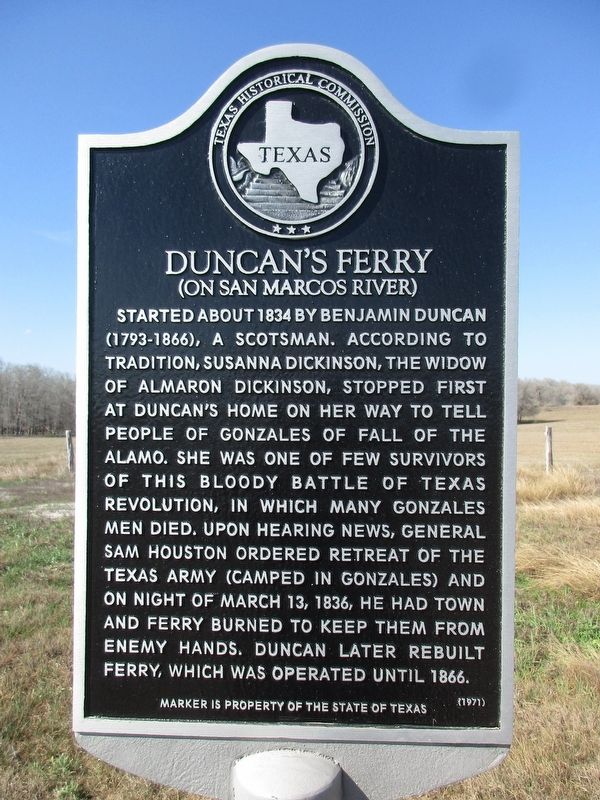
Photographed by Jeff Leichsenring, March 1, 2026
1. Duncan's Ferry Marker
Erected 1971 by Texas Historical Commission. (Marker Number 1298.)
Topics. This historical marker is listed in these topic lists: War, Texas Independence • Waterways & Vessels. A significant historical date for this entry is March 13, 1836.
Location. 29° 30.814′ N, 97° 30.04′ W. Marker is near Gonzales, Texas, in Gonzales County. It is on Alternate U.S. 90 one mile east of Farm to Market Road 2091, on the right when traveling west. Touch for map. Marker is at or near this postal address: 2207 U.S 90 Alt W, Gonzales TX 78629, United States of America. Touch for directions.

Regionally,
this page online
Other nearby markers. At least 8 other markers are within 3 miles of this marker, measured as the crow flies: James Hodges Sr. (approx. 0.9 miles away); Jewish Cemetery (approx. 2.4 miles away); Fort Waul (approx. 2½ miles away); Odd Fellows Cemetery (approx. 2½ miles away); Dr. John Turner Tinsley (approx. 2½ miles away); Eli Mitchell (approx. 2½ miles away); Jesse Kencheloe Davis (approx. 2½ miles away); In Memory of Andrew Ponton (approx. 2½ miles away). Touch for a list and map of all markers in Gonzales.
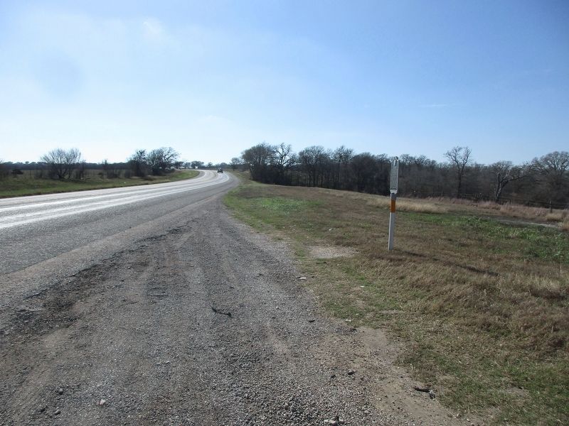
Photographed by Jeff Leichsenring, March 1, 2026
2. Duncan's Ferry Marker
Credits. This page was last revised on March 2, 2026. It was originally submitted on March 2, 2026, by Jeff Leichsenring of Garland, Texas. This page has been viewed 76 times since then. Photos: 1, 2. submitted on March 2, 2026, by Jeff Leichsenring of Garland, Texas. • James Hulse was the editor who published this page.
