Katonah in Westchester County, New York — The American Northeast (Mid-Atlantic)
Katonah
Photographed by David Feibusch
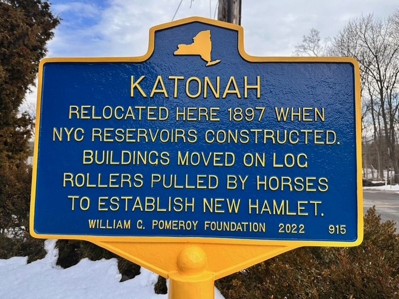
1. Katonah Marker
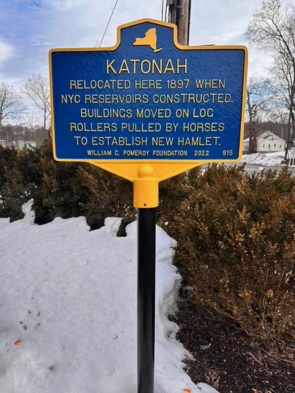
Relocated here 1897 when NYC reservoirs constructed. Buildings moved on log rollers pulled by horses to establish new hamlet.
Erected 2022. (Marker Number 915.)
Topics and series. This historical marker is listed in these topic lists: Notable Events • Settlements & Settlers. In addition, it is included in the William G. Pomeroy Foundation series list. A significant historical year for this entry is 1897.
Location. 41° 15.531′ N, 73° 41.041′ W. Marker is in Katonah, New York, in Westchester County. It is at the intersection of Katonah Avenue and Jay Street, on the right when traveling north on Katonah Avenue. Touch for map. Marker is in this post office area: Katonah NY 10536, United States of America. Touch for directions.

Regionally, this marker is in the Hudson Valley and in the New York City Metropolitan Area. It is also in the American Northeast, in the Mid-Atlantic, and on the Eastern Seaboard. Globally, it is in the North Atlantic Region, North America, the Western Hemisphere, the Western World, and the Anglosphere. Historically, it finds itself in what was once New Netherland and also one of
this page online
Other nearby markers. At least 8 other markers are within 2 miles of this marker, measured as the crow flies: Honor Roll (about 400 feet away, measured in a direct line); Katonah Civil War Memorial (about 400 feet away); a different marker also named Honor Roll (approx. 0.6 miles away); The Katonah American Legion Post 1575 Veterans Memorial (approx. 0.6 miles away); The Terrace Garden (approx. 1.3 miles away); The North Lawn (approx. 1.3 miles away); The Carriage Drive and Roadways (approx. 1.3 miles away); The Schoolhouse and Homestead Lawn (approx. 1.3 miles away). Touch for a list and map of all markers in Katonah.
Also see . . . Katonah (William G. Pomeroy Foundation). Excerpt:
The hamlet of Katonah in Westchester County, New York was originally located in the Croton Watershed, a part of the water supply for the City of New York. When New York City reservoirs were being constructed, the community was deemed too close to the city’s water supply and forced to relocate in 1897. Instead of abandoning the hamlet, citizens of Katonah built a large trestle and moved their buildings on log(Submitted on March 3, 2026.)rollers pulled by horses to Katonah’s new site, just south of its former location.Photographed by David Feibusch2. Katonah Marker
Credits. This page was last revised on March 3, 2026. It was originally submitted on March 3, 2026, by David Feibusch of White Plains, New York. This page has been viewed 38 times since then. Photos: 1, 2. submitted on March 3, 2026, by David Feibusch of White Plains, New York. • Andrew Ruppenstein was the editor who published this page.
