Falls Church, Virginia — The American South (Mid-Atlantic)
Edith Abramson
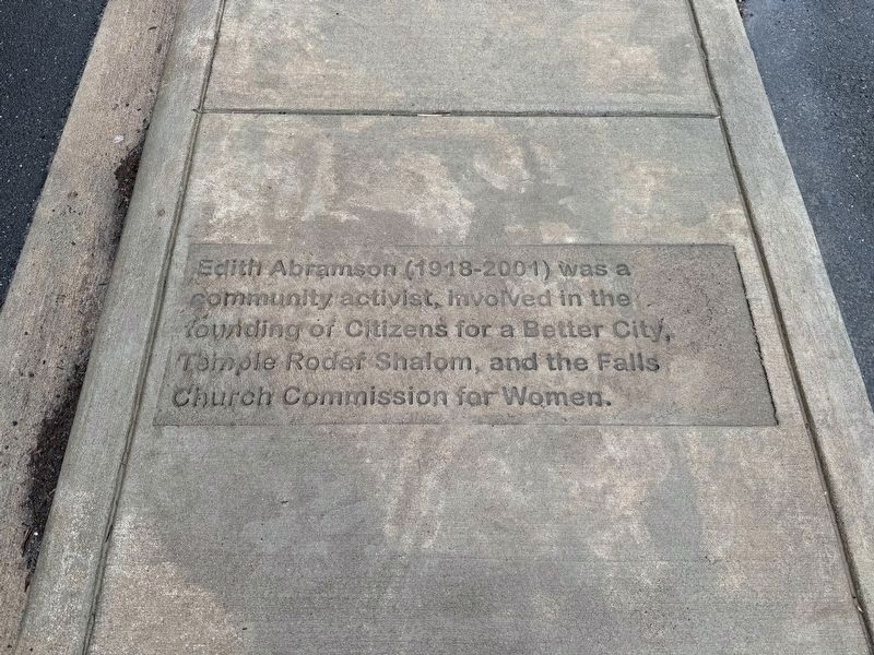
Edith Abramson (1918-2001) was a community activist, involved in the founding of Citizens for a Better City, Temple Rodef Shalom, and the Falls Church Commission for Women.
Erected 2024.
Topics. This historical marker is listed in these topic lists: Charity & Public Work • Religion & Religious Structures • Waterways & Vessels.
Location. 38° 52.796′ N, 77° 10.597′ W. Marker is in Falls Church, Virginia. It is on Tinner Hill Road north of South Washington Street (Virginia Route 237), on the right when traveling north. Touch for map. Marker is at or near this postal address: 500 S Washington St, Falls Church VA 22046, United States of America. Touch for directions.

Regionally, this marker is in the Washington Metropolitan Area and in Northern Virginia. It is also in the American South, specifically in the Upper South, and in the Mid-Atlantic. Globally, it is in North America, the Western Hemisphere, the Western World, and the Anglosphere. Historically, it finds itself in what was once the territory of the Mississippian Culture, one of the original
this page online
Other nearby markers. At least 8 other markers are within walking distance of this marker: Jane Dexter (here, next to this marker); Emily "Todie" Henderson (here, next to this marker); Leah Porzel (here, next to this marker); Nancy Sprague (here, next to this marker); Viola Hudson (here, next to this marker); Harriet Foote Turner (a few steps from this marker); Dr. Edwin Bancroft Henderson (a few steps from this marker); Joseph Tinner (a few steps from this marker). Touch for a list and map of all markers in Falls Church.
Credits. This page was last revised on March 4, 2026. It was originally submitted on March 4, 2026, by Devry Becker Jones of Washington, District of Columbia. This page has been viewed 27 times since then. Photo 1. submitted on March 4, 2026, by Devry Becker Jones of Washington, District of Columbia.
