Schnaittach in Nürnberger Land, Bavaria, Germany — Central Europe
Die jüdischen Friedhöfe
Schnaittacher Geschichtsweg
⎯⎯⎯
The Jewish Cemeteries
Schnaittach Historical Trail
Photographed by James Hulse, February 24, 2026
1. Die jüdischen Friedhöfe / The Jewish Cemeteries Marker

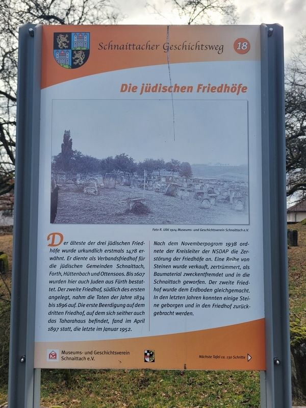
Der älteste der drei jüdischen Friedhöfe wurde urkundlich erstmals 1478 erwähnt. Er diente als Verbandsfriedhof für die jüdischen Gemeinden Schnaittach, Forth, Hüttenbach und Ottensoos. Bis 1607 wurden hier auch Juden aus Fürth bestattet. Der zweite Friedhof, südlich des ersten angelegt, nahm die Toten der Jahre 1834 bis 1896 auf. Die erste Beerdigung auf dem dritten Friedhof, auf dem sich seither auch das Taharahaus befindet, fand im April 1897 statt, die letzte im Januar 1952.
Nach dem Novemberpogrom 1938 ordnete der Kreisleiter der NSDAP die Zerstörung der Friedhöfe an. Eine Reihe von Steinen wurde verkauft, zertrümmert, als Baumaterial zweckentfremdet und in die Schnaittach geworfen. Der zweite Friedhof wurde dem Erdboden gleichgemacht. In den letzten Jahren konnten einige Steine geborgen und in den Friedhof zurückgebracht werden.
Foto R. Uibl 1924 Museums- und Geschichtsverein Schnaittach e. V.
The oldest of the three Jewish cemeteries was first mentioned in documents in 1478. It served as a communal cemetery for the Jewish communities of Schnaittach, Forth, Hüttenbach,
this page online
After the November Pogrom of 1938, the district leader of the Nazi Party ordered the destruction of the cemeteries. A number of gravestones were sold, smashed, misused as building material, and thrown into the Schnaittach stream. The second cemetery was completely leveled. In recent years, some stones have been recovered and returned to the cemetery.
Photo: R. Uibl, 1924. Museum and Historical Society of Schnaittach (registered association).
Erected 2011 by Museum and Historical Society of Schnaittach (registered association). (Marker Number 18.)
Topics. This historical marker is listed in these topic lists: Cemeteries & Burial Sites • Religion & Religious Structures. A significant historical month for this entry is January 1952.
Location. 49° 33.675′ N, 11° 20.351′ E. Marker is in Schnaittach, Bayern (Bavaria), in Nürnberger Land.
Photographed by James Hulse, February 24, 2026
2. Die jüdischen Friedhöfe / The Jewish Cemeteries Marker
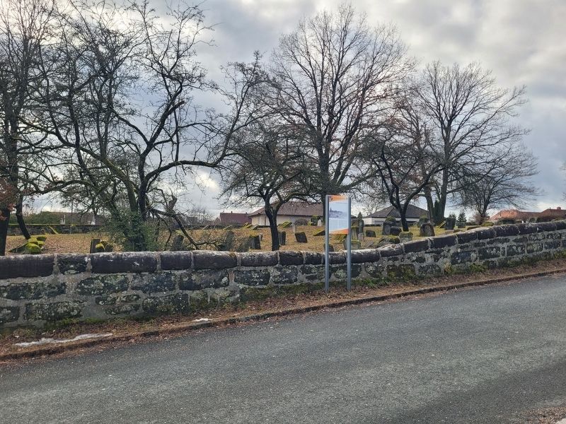
The view of the marker along the fence to the cemetery.

Regionally, this marker is in German Franconia. Globally, it is in Europe, the European Union, Atlantic Europe, Central Europe, the Schengen Area, Western Europe, and the Western World. Historically, it finds itself in what was once the Holy Roman Empire and also the former West Germany.
Other nearby markers. At least 8 other markers are within walking distance of this marker: Das Velhornschloss / Velhorn Palace (about 120 meters away, measured in a direct line); Landjüdische Spuren auf den Friedhöfen in Schnaittach (about 120 meters away); Lena Neuburger (about 150 meters away); Frieda Wolf (about 150 meters away); Mayer Wolf (about 150 meters away); Laura Wolf (about 150 meters away); Der Rothenberg / Fortress Hill (about 150 meters away); Das Scheunenviertel / The Barn Quarter (about 180 meters away). Touch for a list and map of all markers in Schnaittach.

Photographed by James Hulse, February 24, 2026
3. Die jüdischen Friedhöfe / The Jewish Cemeteries Marker
The view of the marker from across the street.
Photographed by James Hulse, February 24, 2026
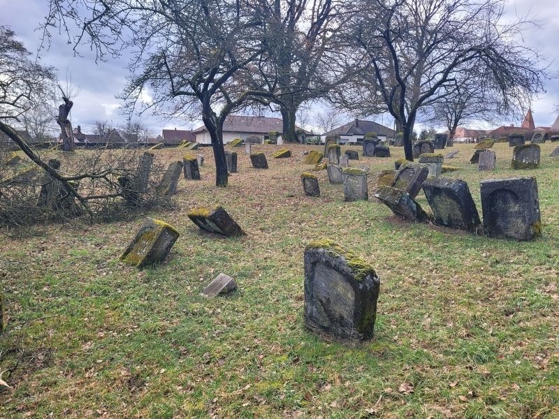
4. Die jüdischen Friedhöfe / The Jewish Cemeteries
Credits. This page was last revised on March 8, 2026. It was originally submitted on March 6, 2026, by James Hulse of Medina, Texas. This page has been viewed 24 times since then. Photos: 1, 2, 3, 4. submitted on March 8, 2026, by James Hulse of Medina, Texas.
