Berea in Cuyahoga County, Ohio — The American Midwest (Great Lakes)
First Congregational United Church of Christ of Berea
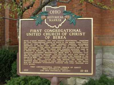
Photographed by Christopher Light, November 3, 2007
1. First Congregational - United Church of Christ of Berea Marker
Erected 2005 by First Congregational United Church of Christ, Berea Historical Society, The Ohio Historical Society. (Marker Number 18-82.)
Topics and series. This historical marker is listed in these topic lists: Abolition & Underground RR
this page online
Location. 41° 22.03′ N, 81° 51.105′ W. Marker is in Berea, Ohio, in Cuyahoga County. It is at the intersection of Seminary Street and Church Street on Seminary Street. Touch for map. Marker is in this post office area: Berea OH 44017, United States of America. Touch for directions.

Regionally, this marker is in Greater Cleveland, on the Lake Erie Shore, and in the Western Reserve. It is also in the American Midwest. Globally, it is in North America, on the Great Lakes, in the Western Hemisphere, in the Western World, and in the Anglosphere. Historically, it finds itself in what was once the Haudenosaunee (Iroquois) Confederacy, the territory of the Mississippian Culture, and the Northwest Territory.
Other nearby markers. At least 8 other markers are within walking distance of this marker: Lyceum Square (about 300 feet away, measured in a direct line); Chapel Square Memorial Garden (about 400 feet away); United States of America Navy Department
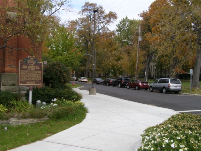
Photographed by Christopher Light, November 3, 2007
2. First Congregational - United Church of Christ of Berea Marker
More about this marker. By the numbering conventions of the Ohio Historical Society, this should be marker number 82-18.
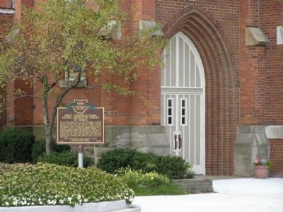
Photographed by Christopher Light, November 3, 2007
3. First Congregational - United Church of Christ of Berea Marker
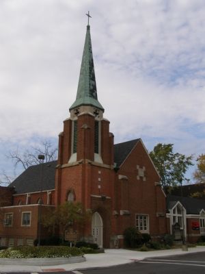
Photographed by Christopher Light, November 3, 2007
4. First Congregational - United Church of Christ of Berea Marker

Photographed by Craig Doda, February 28, 2026
5. First Congregational United Church of Christ of Berea Marker
Credits. This page was last revised on March 18, 2026. It was originally submitted on November 13, 2007, by Christopher Light of Valparaiso, Indiana. This page has been viewed 2,830 times since then and 55 times this year. Last updated on March 7, 2026, by Craig Doda of Napoleon, Ohio. Photos: 1, 2, 3, 4. submitted on November 13, 2007, by Christopher Light of Valparaiso, Indiana. 5. submitted on March 7, 2026, by Craig Doda of Napoleon, Ohio. • J. J. Prats was the editor who published this page.
