Canefield, Saint Paul Parish, Dominica — Caribbean Region of the Americas (Lesser Antilles of the West Indies)
Sugar and Canefield Estate
Photographed by J. Makali Bruton, March 3, 2026
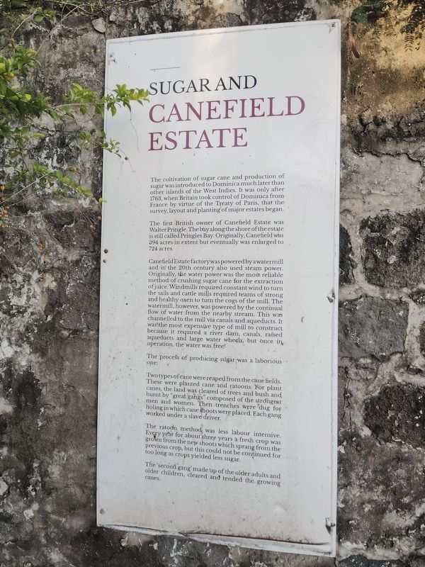
1. Sugar and Canefield Estate Marker
The cultivation of sugar cane and production of sugar was introduced to Dominica much later than other islands of the West Indies. It was only after 1763, when Britain took control of Dominica from France by virtue of the Treaty of Paris, that the survey, layout and planting of major estates began.
The first British owner of Canefield Estate was Walter Pringle. The bayalong the shore of the estate is still called Pringles Bay Originally, Canefield was 394 acres in extent but eventually was enlarged to 724 acres.
Canefield Estate factorywas powered byawatermill and in the 20th century also used steam power. Originally, the water power was the most reliable method of crushing sugar cane for the extraction of juice. Windmills required constant wind to turn the sails and cattle mills required teams of strong and healthy oxen to turn the cogs of the mill. The watermill, however, was powered by the continual flow of water from the nearby stream. This was channelled to the mill via canals and aqueducts. It was the most expensive type of mill to construct because it required a river dam, canals, raised aqueducts
this page online
The process of producing sugar was a laborious one:
Two types of cane were reaped from the cane fields. These were planted cane and ratoons. For plant canes, the land was cleared of trees and bush and burnt by "great gangs" composed of the strongest men and women. Then trenches were 'dug for holing in which cane shoots were placed. Each gang worked under a slave driver.
The ratoon method was less labour intensive. Every year for about three years a fresh crop was grown from the new shoots which sprang from the previous crop, but this could not be continued for too long as crops yielded less sugar.
The second gang made up of the older adults and older children, cleared and tended the growing canes.
Topics. This historical marker is listed in these topic lists: African Americans • Colonial Era • Industry & Commerce. A significant historical year for this entry is 1763.
Location. 15° 19.999′ N, 61° 23.388′ W. Marker is in Canefield, Saint Paul Parish. It is at the intersection of 3rd Street and Edward Oliver Leblanc Highway, on the right when traveling
Photographed by J. Makali Bruton, March 3, 2026
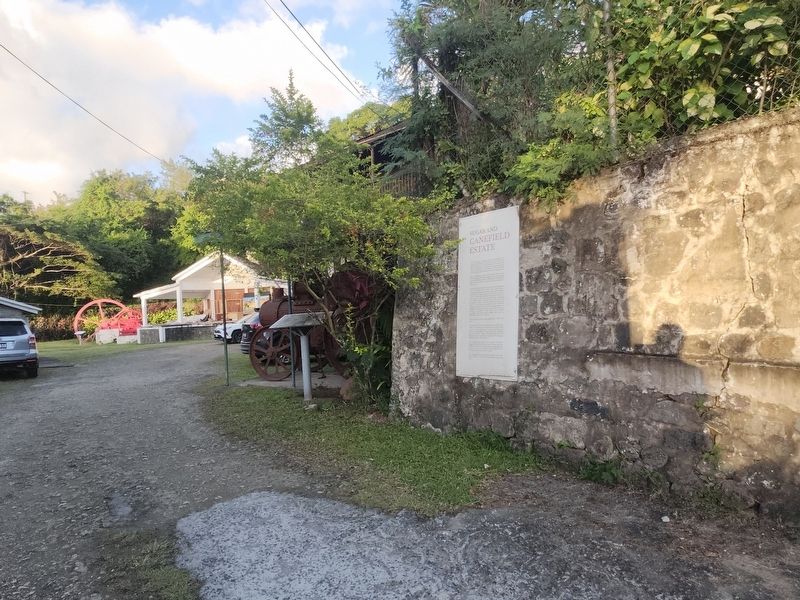
2. Sugar and Canefield Estate Marker

Regionally, it is one of the Lesser Antilles on the Caribbean Sea, on in the Atlantic Ocean, in North America, in the Western Hemisphere, and in the Anglosphere. Historically, it finds itself in what was once a British colony.
Other nearby markers. At least 8 other markers are within 5 kilometers of this marker, measured as the crow flies: Woodbridge Bay (approx. 2.6 kilometers away in Saint George Parish); Simon Bolivar (approx. 3.1 kilometers away in Saint George Parish); Cecil E. A. Rawle (approx. 3.1 kilometers away in Saint George Parish); Pottersville (approx. 3.2 kilometers away in Saint George Parish); a different marker also named Pottersville (approx. 3.7 kilometers away in Saint George Parish); Edward Oliver Le Blanc (approx. 3.8 kilometers away); Morne Bruce Garrison (approx. 3.8 kilometers away in Saint George Parish); Roseau Bayfront (approx. 4 kilometers away in Saint George Parish).
Photographed by J. Makali Bruton, March 3, 2026
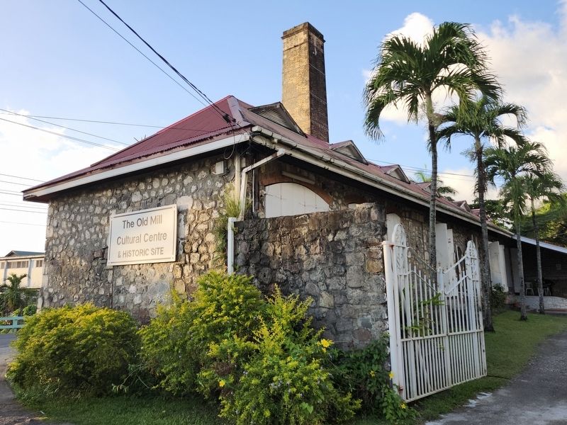
3. The Old Mill Cultural Centre
Photographed by J. Makali Bruton, March 3, 2026
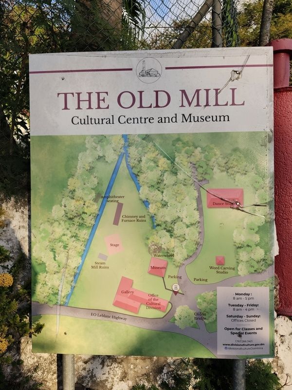
4. The Old Mill site map
Credits. This page was last revised on March 7, 2026. It was originally submitted on March 7, 2026, by J. Makali Bruton of Washington, District of Columbia. This page has been viewed 50 times since then. Photos: 1, 2, 3, 4. submitted on March 7, 2026, by J. Makali Bruton of Washington, District of Columbia.
