Ararat in Patrick County, Virginia — The American South (Mid-Atlantic)
The Mount Airy & Eastern Railway
Photographed by C. Ryan Dodson, October 4, 2025
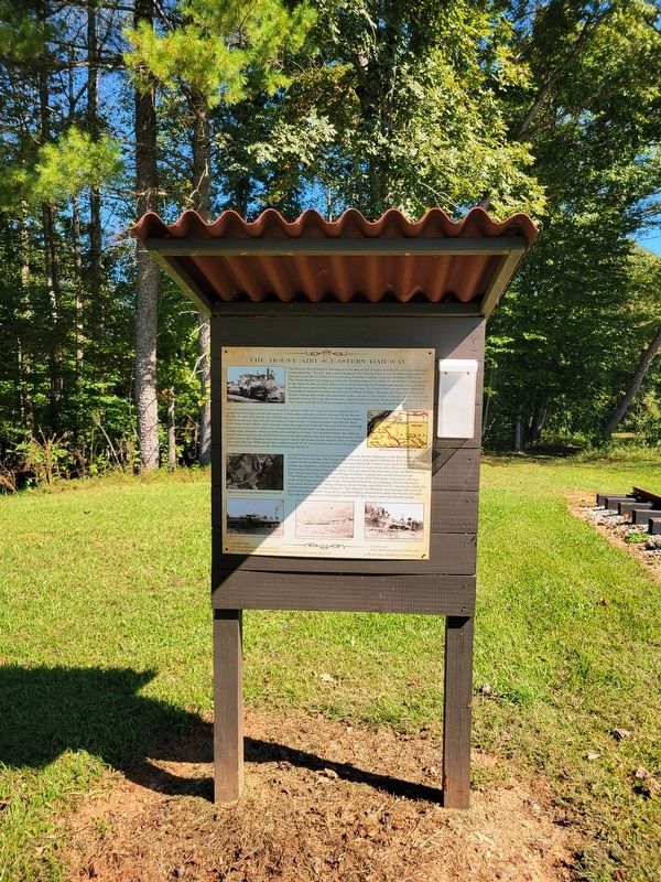
1. The Mount Airy & Eastern Railway Marker
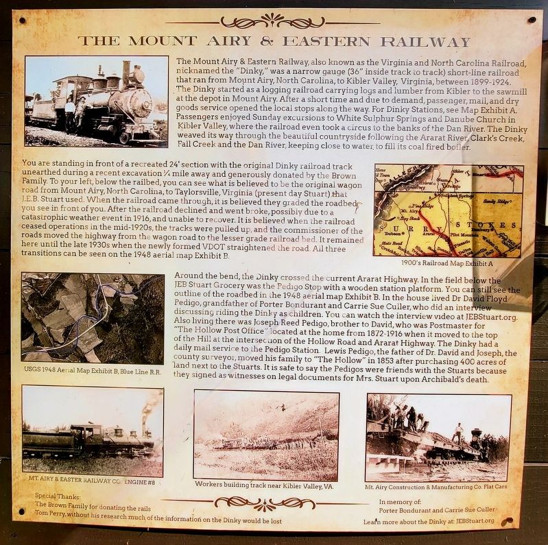
The Mount Airy & Eastern Railway, also known as the Virginia and North Carolina Railroad, nicknamed the "Dinky," was a narrow gauge (36" inside track to track) short-line railroad that ran from Mount Airy, North Carolina, to Kibler Valley, Virginia, between 1899-1924. The Dinky started as a logging railroad carrying logs and lumber from Kibler to the sawmill at the depot in Mount Airy. After a short time and due to demand, passenger, mail, and dry goods service opened the local stops along the way. For Dinky Stations, see Map Exhibit A. Passengers enjoyed Sunday excursions to White Sulphur Springs and Danube Church in Kibler Valley, where the railroad even took a circus to the banks of the Dan River. The Dinky weaved its way through the beautiful countryside following the Ararat River, Clark's Creek, Fall Creek and the Dan River, keeping close to water, to fill its coal fired boiler.
You are standing in front of a recreated 24' section with the original Dinky railroad track unearthed during a recent excavation ¼ mile away and generously donated by the Brown Family. To your left, below the railbed, you can see what
this page online
Around the bend, the Dinky crossed the current Ararat Highway. In the field below the JEB Stuart Grocery was the Pedigo Stop with a wooden station platform. You can still see the outline of the roadbed in the 1948 aerial map Exhibit B. In the house lived Dr David Floyd Pedigo, grandfather of Porter Bondurant and Carrie Sue Culler, who did an interview discussing riding the Dinky as children. You can watch the interview video
Photographed by C. Ryan Dodson, October 4, 2025
2. The Mount Airy & Eastern Railway Marker
Special Thanks: The Brown Family for donating the rails Tom Perry, without his research much of the information on the Dinky would be lost
In memory of:
Porter Bondurant and Carrie Sue Culler
Learn more about the Dinky at: JEBStuart.org
(Photo Captions)
1900's Railroad Map Exhibit A
USGS 1948 Aerial Map Exhibit B, Blue Line R.R.
Mt. Airy & Eastern Railway Co. Engine # 8
Workers building track near Kibler Valley, VA
Mt. Airy Construction & Manufacturing Co. Flat Cars
Erected 2025 by Jeb
Photographed by C. Ryan Dodson, October 4, 2025
3. The Mount Airy & Eastern Railway Marker
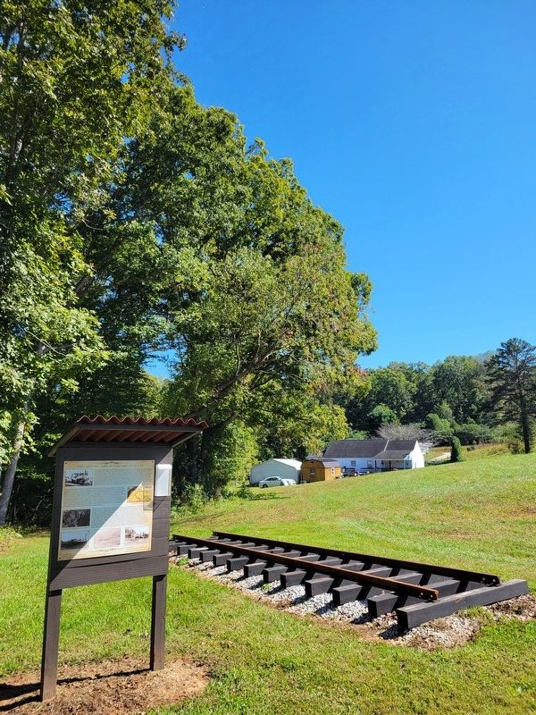
A portion of railroad track is displayed next to the Marker.
Topics. This historical marker is listed in these topic lists: Railroads & Streetcars • War, US Civil. A significant historical year for this entry is 1899.
Location. 36° 33.772′ N, 80° 33.118′ W. Marker is in Ararat, Virginia, in Patrick County. It can be reached from Arafat Highway (Virginia Route 773) 0.1 miles west of State Line Road ( Route 617), on the right when traveling west. The Marker is located on the grounds of the Jeb Stuart Birthplace (Laurel Hill). Touch for map. Marker is at or near this postal address: 1091 Ararat Hwy, Ararat VA 24053, United States of America. Touch for directions.

Regionally, this marker is in Southern Virginia and in the Blue Ridge Highlands. It is also in the American South, specifically in the Upper South, in Appalachia, and specifically in Southern Appalachia. Globally, it is in North America, the Western Hemisphere, the Western World, and the Anglosphere. Historically, it finds itself in what was once the territory of the Mississippian Culture, one of the original Thirteen Colonies, one of the Confederate States of America, and the Antebellum South.
Other nearby markers. At least 8 other markers are within walking distance of this marker: "Flora and Jeb" (a few steps from this marker); "Stuart the Leader" (a few steps from this marker); "Stuart the Commander" (a few steps from this marker); "Stuart the Scout" (a few steps from this marker); "Stuart the Raider" (a few steps from this marker); The "Lee" Tree (within shouting distance of this marker); Stuart's Birthplace (within shouting distance of this marker); Stuart's Birthplace Marker (within shouting distance of this marker). Touch for a list and map of all markers in Ararat.
Credits. This page was last revised on March 9, 2026. It was originally submitted on March 8, 2026, by C. Ryan Dodson of Danville, Virginia. This page has been viewed 18 times since then. Photos: 1, 2, 3. submitted on March 8, 2026, by C. Ryan Dodson of Danville, Virginia. • Bernard Fisher was the editor who published this page.
