Eastern Malibu in Los Angeles County, California — The American West (Pacific Coastal)
Legacy Park
Surfing/Coastal Route
| — | Malibu | — |

Photographed by Craig Baker, December 14, 2024
1. Legacy Park Marker
Surfing
In 1907, George Freeth, a Hawaiian, introduced surfing to Southern California. Another Hawaiian, Duke Kahanamoku, was one of the first to discover the perfectly formed waves of Malibu's Surfrider Beach.
In the late 1920s - when the highway opened - Malibu started to attract surfers from around the world. Many are now working to improve water quality and provide an environmental voice for ocean enthusiasts.
Coastal Route
Ranch owner May Rindge fought against coast roads and railroads crossing Malibu Ranch. She battled all the way to the State and U.S. Supreme Courts.
By building her own railway, May Rindge has been credited with preventing the Southern Pacific Railroad from building a line through Malibu. Pacific Coast Highway (then named "Roosevelt Highway") was completed through Malibu in 1929.
Topics. This historical marker is listed in these topic lists: Roads & Vehicles • Sports. A significant historical year for this entry is 1907.
Location. 34° 2.185′ N, 118° 41.29′ W. Marker is in Malibu, California, in Los Angeles County. It is in Eastern Malibu. It is on
this page online

Regionally, this marker is in Greater Los Angeles and in the Transverse Ranges. It is also on the American Pacific Coast. Globally, it is in North America, on the Ring of Fire, on the Pacific Rim, in the Western Hemisphere, in the Western World, and in the Anglosphere. Historically, it finds itself in what was once New Spain and also Mexico’s Alta California.
Other nearby markers. At least 8 other markers are within walking distance of this marker: Malibu's Earliest History (approx. half a mile away); This Parcel of Land (approx. half a mile away); Malibu Lagoon (approx. half a mile away); Lath House (approx. half a mile away); Green Man Sculpture (approx. half a mile away); Original Malibu Railroad Tie (approx. half a mile away); The Adamson House (approx. half a mile away); Hueneme, Malibu and Port Los Angeles Railway (approx. half a mile away). Touch for a list and map of all markers in

Photographed by Craig Baker, December 14, 2024
2. Legacy Park Marker
More about this marker. Other interpretive signs in the park describe local plants, animals, and stormwater runoff treatment.
Regarding Legacy Park. Malibu's earliest history begins where the Chumash people lived in a thriving village they called Humaliwo meaning, "the surf sounds loudly."

Photographed by Craig Baker, December 14, 2024
3. Legacy Park Marker

Photographed by Craig Baker, December 14, 2024
4. Legacy Park Marker

Photographed by Craig Baker, December 14, 2024
5. Legacy Park and Markers
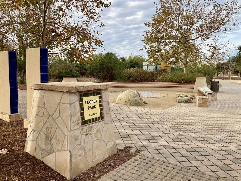
Photographed by Craig Baker, December 14, 2024
6. Legacy Park
Credits. This page was last revised on March 8, 2026. It was originally submitted on March 8, 2026, by Craig Baker of Sylmar, California. This page has been viewed 19 times since then. Photos: 1, 2, 3, 4, 5, 6. submitted on March 8, 2026, by Craig Baker of Sylmar, California.
