Lansing in Leavenworth County, Kansas — The American Midwest (Upper Plains)
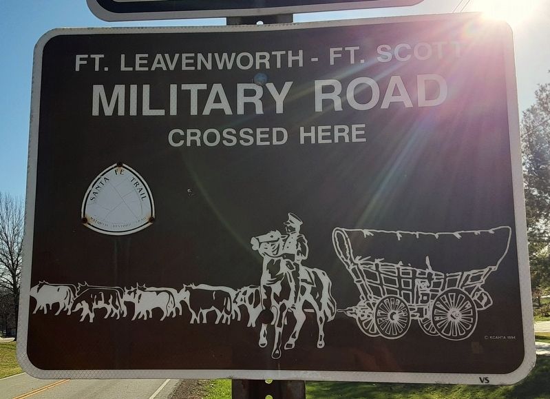
Ft. Leavenworth - Ft. Scott Military Road
Crossed Here
Photographed by William Fischer, Jr., March 8, 2026
1. Ft. Leavenworth - Ft. Scott Military Road Marker
[Title is text]
Topics. This historical marker is listed in these topic lists: Patriots & Patriotism • Roads & Vehicles.
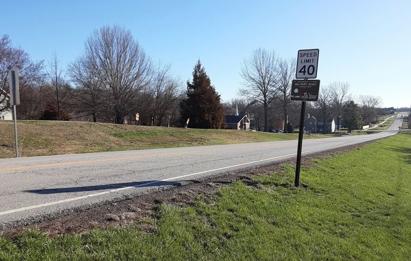
Location. 39° 14.265′ N, 94° 54.448′ W. Marker is in Lansing, Kansas, in Leavenworth County. It is at the intersection of 4-H Road and Southfork Street, on the right when traveling east on 4-H Road. Touch for map. Marker is in this post office area: Lansing KS 66043, United States of America. Touch for directions.

Regionally, this marker is in Eastern Kansas and specifically in Greater Kansas City. It is also in the American Midwest, in the Lewis & Clark Corridor, in the Corn Belt, on the prairies, and on the Southern Plains. Globally, it is in North America, the Western Hemisphere, the Western World, and the Anglosphere. Historically, it finds itself in what was once the Louisiana Purchase.
Other nearby markers. At least 8 other markers are within 3 miles of this marker, measured as the crow flies: "Kansas Central Railway 1871-1890/Fallen Flags" (approx. 0.4 miles away); "Kansas Flag" (approx. 2.3 miles away); Daniel Read Anthony
this page online
More about this marker. An identical marker is directly across the road facing westbound traffic.
Also see . . . Fort Leavenworth to Fort Scott Military Road Plotted on USGS Quadrangle Maps. (Submitted on March 8, 2026, by William Fischer, Jr. of Reynoldsburg, Ohio.)
Photographed by William Fischer, Jr., March 8, 2026
2. Ft. Leavenworth - Ft. Scott Military Road Marker
Credits. This page was last revised on March 8, 2026. It was originally submitted on March 8, 2026, by William Fischer, Jr. of Reynoldsburg, Ohio. This page has been viewed 14 times since then. Photos: 1, 2. submitted on March 8, 2026, by William Fischer, Jr. of Reynoldsburg, Ohio.
