
Near Huntsville in Walker County, Texas — The American South (West South Central)
Harmony Cemetery

Photographed by Jeff Leichsenring, March 8, 2026
1. Harmony Cemetery Marker
According to oral history, the first person buried here was Vincent Herlock, who appeared in the 1850 census of Walker County with his wife and four sons. Herlock died in January 1851, and the cemetery was known for a time as Herlock Cemetery. Other 1860s and 1870s burials included those of members of the Murray and Goolsby families, and the graveyard was known by the Goolsby name as well. In 1906 the Harmony Missionary Baptist Church, formerly of the Sion community (4 miles north), was reestablished on this site. After the church was disbanded in the 1930s, the cemetery fell into disrepair. A cemetery association was formed in the 1970s to care for the site. The cemetery remains a chronicle of the pioneer settlers of Walker County.
Erected 2000 by Texas Historical Commission. (Marker Number 12279.)
Topics. This historical marker is listed in this topic list: Cemeteries & Burial Sites. A significant historical month for this entry is January 1851.
Location. 30° 49.918′ N, 95° 43.945′ W. Marker is near Huntsville, Texas, in Walker County. It is on State Highway 75 3.2 miles south of Farm to Market Road 2989. Touch for map. Marker
this page online

Regionally, this marker is in the American South and on the Gulf Coast. Globally, it is in North America, a Gulf of Mexico state, the Western Hemisphere, the Western World, and the Anglosphere. Historically, it finds itself in what was once New Spain, the Republic of Texas, one of the Confederate States of America, and the Antebellum South.
Other nearby markers. At least 8 other markers are within 11 miles of this marker, measured as the crow flies: Veteran of American Revolution Mark Manning (approx. 2.3 miles away); Christopher C. Edinburg (approx. 3.9 miles away); Cook Springs Baptist Church (approx. 6.2 miles away); Ebenezer Cemetery (approx. 10.4 miles away); Park Cemetery (approx. 10½ miles away); Buck Foster Cemetery (approx. 10.6 miles away); Syrup Kettle (approx. 11 miles away); Rodeo Chutes (approx. 11 miles away). Touch for a list and map of all markers in Huntsville.
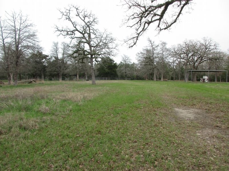
Photographed by Jeff Leichsenring, March 8, 2026
2. Harmony Cemetery and marker
Credits. This page was last revised on March 10, 2026. It was originally submitted on March 9, 2026, by Jeff Leichsenring of Garland, Texas. This page has been viewed 14 times since then. Photos: 1, 2. submitted on March 9, 2026, by Jeff Leichsenring of Garland, Texas. • James Hulse was the editor who published this page.
