
Near Pulaski in Giles County, Tennessee — The American South (East South Central)
The Bumpass Trace
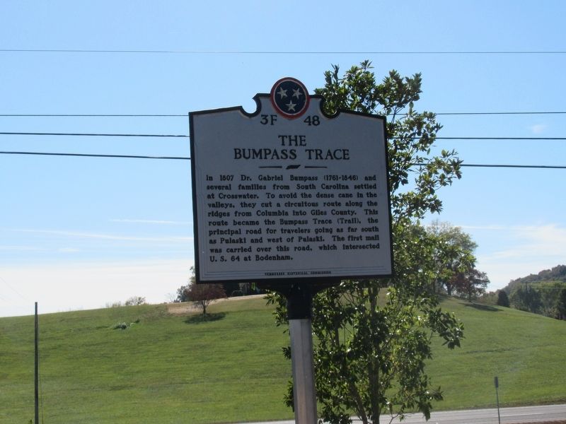
Photographed by Jason Armstrong, October 21, 2023
1. The Bumpass Trace Marker
Erected by Tennessee Historical Commission. (Marker Number 3F 48.)
Topics. This historical marker is listed in this topic list: Roads & Vehicles. A significant historical year for this entry is 1807.
Location. 35° 13.399′ N, 87° 8.355′ W. Marker is near Pulaski, Tennessee, in Giles County. It is at the intersection of Lawrenceburg Highway (U.S. 64) and Johnson Branch Road, on the right when traveling west on Lawrenceburg Highway. Touch for map. Marker is at or near this postal address: 21142 Lawrenceburg Hwy, Pulaski TN 38478, United States of America. Touch for directions.

Regionally, this marker is in Middle Tennessee and in the Highland Rim. It is also in the American South and specifically
this page online
Other nearby markers. At least 8 other markers are within 7 miles of this marker, measured as the crow flies: Bodenham Mill (approx. 1.1 miles away); Trail of Tears (approx. 5.2 miles away); Martin College (approx. 5.9 miles away); Giles County's First Courthouse (approx. 6 miles away); Grissom Colonial Hall (approx. 6.2 miles away); History of Colonial Hall (approx. 6.2 miles away); Governor John C. Brown House (approx. 6.2 miles away); The Bridge (approx. 6.2 miles away). Touch for a list and map of all markers in Pulaski.
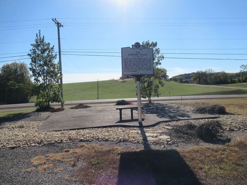
Photographed by Jason Armstrong, October 21, 2023
2. The Bumpass Trace Marker
Credits. This page was last revised on March 10, 2026. It was originally submitted on March 9, 2026, by Jason Armstrong of Talihina, Oklahoma. This page has been viewed 31 times since then. Photos: 1, 2. submitted on March 9, 2026, by Jason Armstrong of Talihina, Oklahoma. • James Hulse was the editor who published this page.
