South Side in San Antonio in Bexar County, Texas — The American South (West South Central)
Edgewood Independent School District
Photographed by Dave W, March 8, 2026
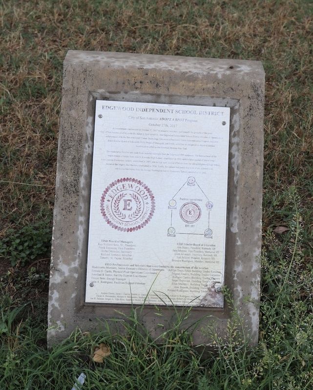
1. Edgewood Independent School District Marker
A commitment was bonded on October 27, 2017 to preserve, maintain and beautify the grounds of the great City of San Antonio (CoSA) under the Adopt A Spot initiative. The Edgewood Independent School District Division of Operations in collaboration with the first ever EISD Career Technology Education's Practicum Trades Apprenticeship Program, first ever EISD Scholar Board of Educators, EISD Board of Managers, and CoSA, solidified an obligation to ensure a constant beautification effort to the historical Mission Bike Trail
The handcrafted benches are made from recycled materials from the Edgewood ISD campuses. The bottom layer of the bench consists of bricks from John F. Kennedy High School, established in 1955, middle layer consists of bricks from Roy Cisneros Elementary School, established in 2009, and the top layer consists of bricks from the retired Edgewood High School, home of the Mighty Red Raiders, established in 1954. Lastly, the cement that bonds this work of art, is mixed with old foundation bricks from the George Washington Carver Elementary school, established in 1942.
Erected 2017 by Edgewood Independent
this page online
Topics. This historical marker is listed in these topic lists: Architecture • Education • Parks & Recreational Areas. A significant historical year for this entry is 2017.
Location. 29° 23.928′ N, 98° 29.313′ W. Marker is in San Antonio, Texas, in Bexar County. It is in the South Side. It is on South River Walk west of Mission Road, on the right when traveling west. Touch for map. Marker is in this post office area: San Antonio TX 78210, United States of America. Touch for directions.

Regionally, this marker is in South Texas. It is also in the American South. Globally, it is in North America, a Gulf of Mexico state, the Western Hemisphere, the Western World, and the Anglosphere. Historically, it finds itself in what was once New Spain, the Republic of Texas, and one of the Confederate States of America.
Other nearby markers. At least 8 other markers are within walking distance of this marker: Yturri-Edmunds House and Mill (a few steps from this marker); Mill on the Pajalache Acequia (within shouting distance of this marker); San Antonio River Flood Control Tunnel
Photographed by Dave W, March 8, 2026
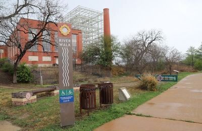
2. Edgewood Independent School District Marker
Credits. This page was last revised on March 13, 2026. It was originally submitted on March 10, 2026, by Dave W of Co, Colorado. This page has been viewed 18 times since then. Photos: 1, 2. submitted on March 10, 2026, by Dave W of Co, Colorado. • James Hulse was the editor who published this page.
