Hazen in Prairie County, Arkansas — The American South (West South Central)
Central Arkansas & Eastern RR and the Cotton Belt Route

Photographed by Ashley Sides, February 18, 2026
1. Central Arkansas & Eastern RR and the Cotton Belt Route Marker
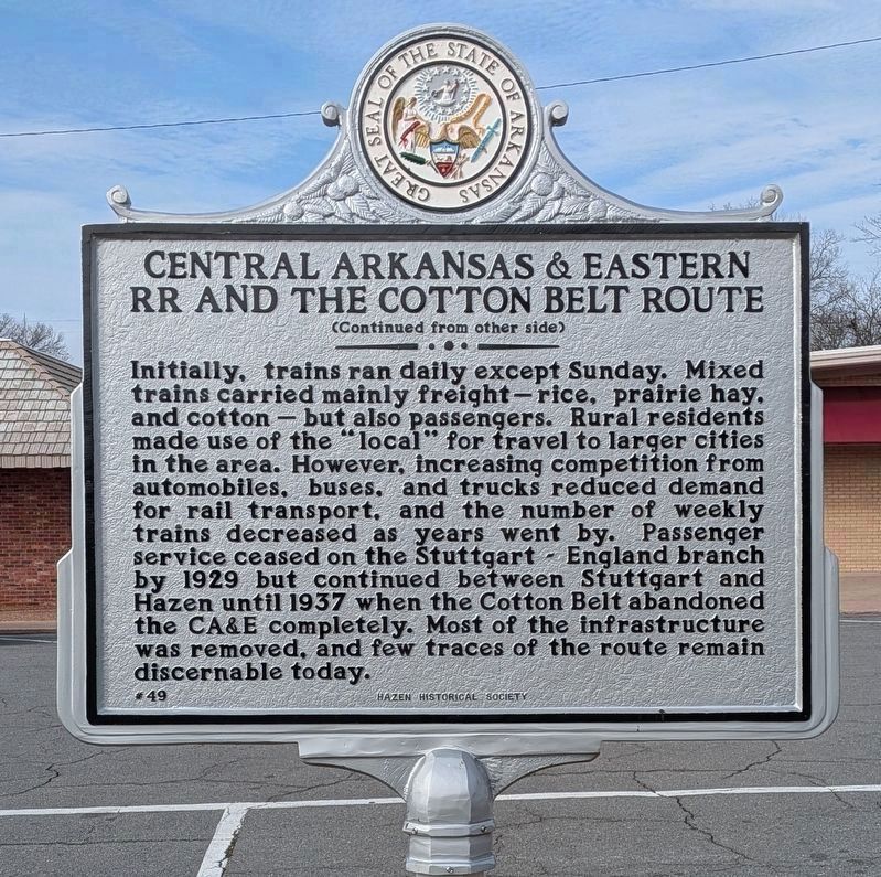
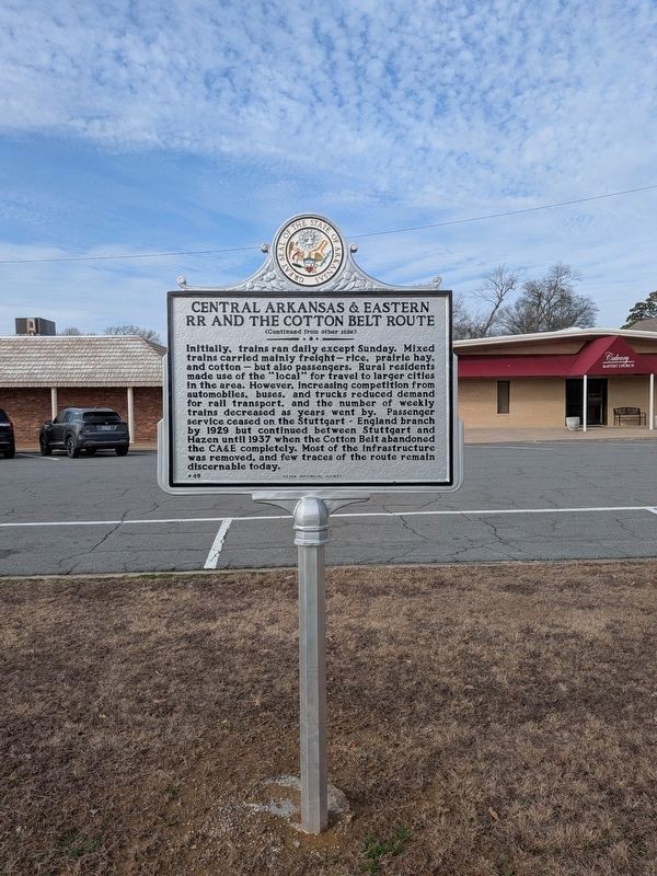
Initially, trains ran daily except Sunday. Mixed trains carried mainly freight—rice, prairie hay, and cotton—but also passengers. Rural residents made use of the “local” for travel to larger cities in the area. However, increasing competition from automobiles, buses, and trucks reduced demand for rail transport, and the number of weekly trains decreased as years went by. Passenger service ceased on the Stuttgart–England branch by 1929 but continued between
this page online
Erected 2025 by Hazen Historical Society and Arkansas Heritage. (Marker Number 49.)
Topics and series. This historical marker is listed in these topic lists: Agriculture • Industry & Commerce • Railroads & Streetcars. In addition, it is included in the Arkansas Heritage series list. A significant historical year for this entry is 1911.
Location. 34° 46.845′ N, 91° 34.99′ W. Marker is in Hazen, Arkansas, in Prairie County. It is at the intersection of West Front Street and N Chester St, on the right when traveling east on West Front Street. Touch for map. Marker is at or near this postal address: 208 W Front St, Hazen AR 72064, United States of America. Touch for directions.

Regionally, this marker is in the American South, specifically in the Upper South, and in the Mississippi Delta. Globally, it is in North America, the Western Hemisphere, the Western World, and the Anglosphere. Historically, it finds itself in what was once the territory
Photographed by Ashley Sides, February 18, 2026
2. Central Arkansas & Eastern RR and the Cotton Belt Route Marker Reverse
Other nearby markers. At least 8 other markers are within 7 miles of this marker, measured as the crow flies: Kocourek and Son Hardware Store (approx. 0.2 miles away); Dr. William Cogswell Hazen (approx. 0.2 miles away); Hazen Rock Island Railroad Depot (approx. 0.2 miles away); DeValls Bluff: A Key Union Base (approx. 7.1 miles away); Common Ground for Many Soldiers (approx. 7.1 miles away); War on the White River (approx. 7.1 miles away); Why DeValls Bluff (approx. 7.1 miles away); DeValls Bluff in the Civil War (approx. 7.1 miles away). Touch for a list and map of all markers in Hazen.
Related markers. Click here for a list of markers that are related to this marker.
Photographed by Ashley Sides, February 18, 2026
3. Central Arkansas & Eastern RR and the Cotton Belt Route Marker
Photographed by Ashley Sides, February 18, 2026
4. Central Arkansas & Eastern RR and the Cotton Belt Route Marker
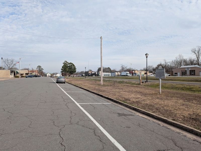
This view is looking east down Front Street toward the depot in the distance. The marker is visible to the right. Behind the marker, the sidewalk marks the old railroad bed where the Rock Island tracks ran. The Cotton Belt line came up along Chester from the south (from the right in this picture) and joined the Rock Island tracks on the way to the depot.
Photographed by Ashley Sides, February 26, 2024
5. Former Cotton Belt Railroad trackbed
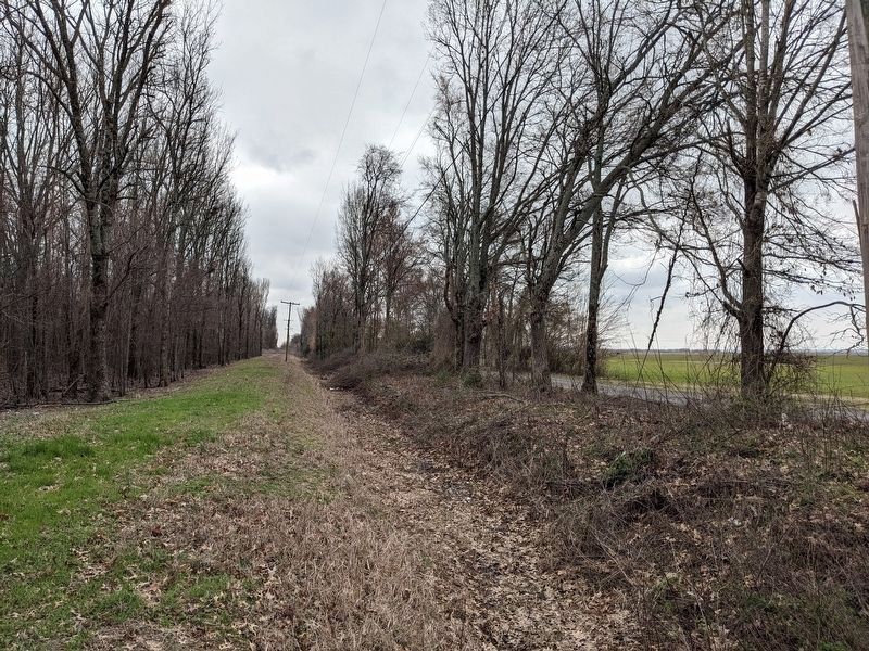
This is the former trackbed of the old Cotton Belt Line coming into Hazen parallel to South Chester Street. This view is looking south from West Jackson Street.
Credits. This page was last revised on March 13, 2026. It was originally submitted on March 10, 2026, by Ashley Sides of Little Rock, Arkansas. This page has been viewed 30 times since then. Photos: 1. submitted on March 10, 2026, by Ashley Sides of Little Rock, Arkansas. 2. submitted on March 10, 2026. 3, 4, 5. submitted on March 10, 2026, by Ashley Sides of Little Rock, Arkansas. • J. Makali Bruton was the editor who published this page.
