Middleburg in Carroll County, Maryland — The American Northeast (Mid-Atlantic)
Middleburg
Meade's Pipe Creek Plan
— Gettysburg Campaign —
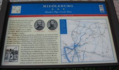
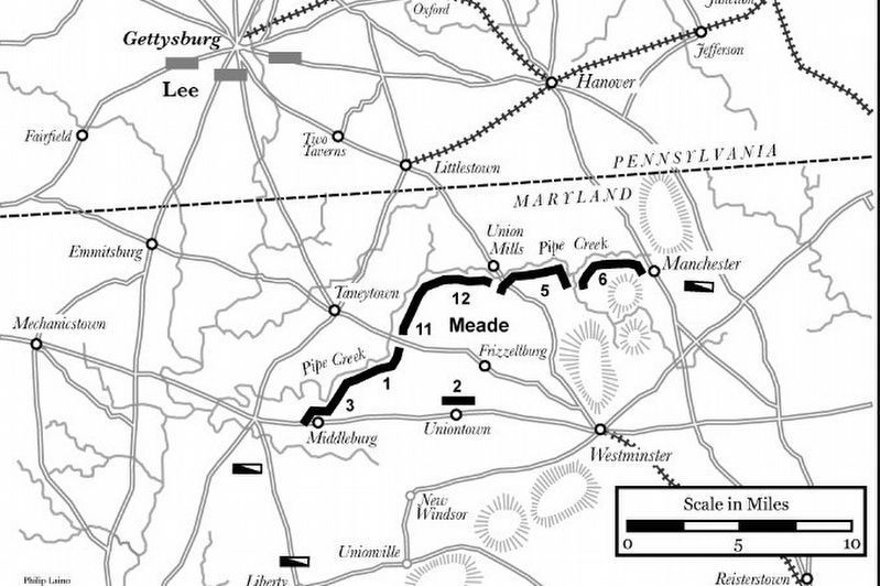
On June 29, 1863, Union Gen. George G. Meade ordered the Army of the Potomac to Pipe Creek to counter any move toward Washington or Baltimore by Gen. Robert E Lee's Army of Northern Virginia and to engage it in battle. Meade was uncertain of Lee's strength or location.
The Federal left flank rested here at Middleburg, the center at Union Mills and the right at Manchester. From Westminster, located six miles south of Pipe Creek, roads fanned out to every important point along Meade's line: through Uniontown to Middleburg; through Frizzellburg and Taneytown; through Union Mills and then forking, with one leading to Littlestown and Gettysburg and the other to Hanover; and to Manchester. Although Meade had studied the area on maps, on the ground he had only examined the western portion from Taneytown to Middleburg. On July 1, Gen. Henry J. Hunt, Meade's chief of artillery, reconnoitered the entire line, the only general officer to do so. He was very favorably impressed with the possibilities as an "offensive-defensive" position. Events that day at Gettysburg, however, would preclude its ever being used.
Erected by Maryland Civil War Trails.
Topics and series. This historical marker is listed in this topic list: War, US Civil. In addition, it is included in the Maryland Civil War Trails series list. A significant historical month for this entry is June 1678.
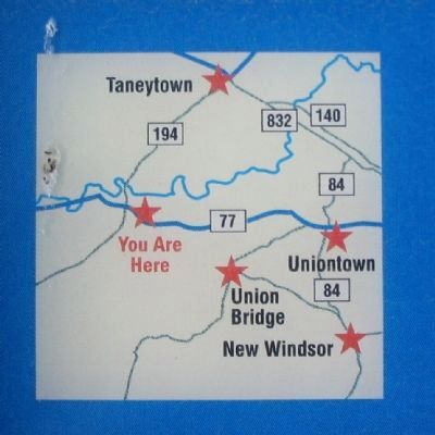
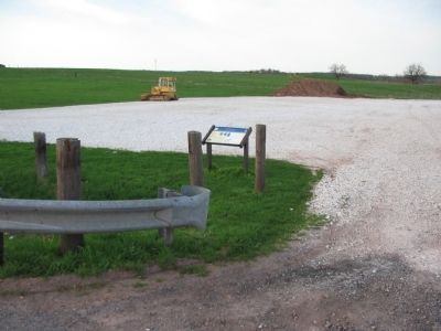
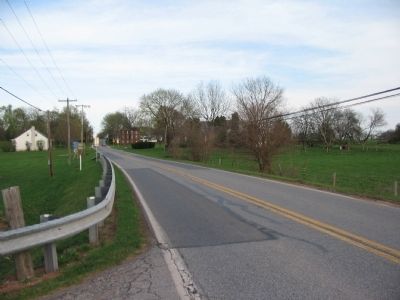
Location. 39° 35.73′ N, 77° 13.416′ W. Marker is in Middleburg, Maryland, in Carroll County. Marker is on Middleburg Road (State Highway 77), on the right when traveling west. Touch for map. Marker is in this post office area: Keymar MD 21757, United States of America. Touch for directions.
Other nearby markers. At least 8 other markers are within 3 miles of this marker, measured as the crow flies. Army of the Potomac (approx. 0.4 miles away); “Terra Rubra” (approx. 1.4 miles away); Birthplace of Francis Scott Key (approx. 2˝ miles away); The First Reaping Machine (approx. 2.7 miles away); Elmer A. Wolfe High School (approx. 2.8 miles away); Western Maryland Railway Honor Roll (approx. 3 miles away); Union Bridge (approx. 3 miles away); World's First Reaping Machine (approx. 3.1 miles away).
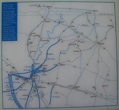
More about this marker. In the center are portraits of Gens. Meade and Hunt. On the lower left is a wartime sketch titled Wash day On the right is a campaign map depicting the movements of the Federal army and locations of Civil War trails sites. It has the caption: Position of the Union Army of the Potomac June 29, 1863 (midday). New Union commander Gen. George G. Meade orders his army north with two objectives: Engage the Confederate army under the best possible conditions while protecting Washington, D.C. Learning that the Union army was close and getting closer, Confederate Gen. Robert E. Lee orders his army to consolidate somewhere near the Maryland-Pennsylvania border.
Also see . . . An Enduring Controversy: The Pipe Creek Circular and the Battle of Gettysburg. Emerging Civil War website entry (Submitted on April 12, 2022, by Larry Gertner of New York, New York.)
Credits. This page was last revised on April 12, 2022. It was originally submitted on April 4, 2010, by Craig Swain of Leesburg, Virginia. This page has been viewed 2,021 times since then and 34 times this year. Photos: 1, 2, 3. submitted on April 4, 2010, by Craig Swain of Leesburg, Virginia. 4. submitted on April 12, 2022, by Larry Gertner of New York, New York. 5, 6. submitted on April 4, 2010, by Craig Swain of Leesburg, Virginia.
