Alabaster in Shelby County, Alabama — The American South (East South Central)
Buck Creek Jail and Water Tower
Shelby County
Photographed by Jimmy Emerson, March 11, 2026
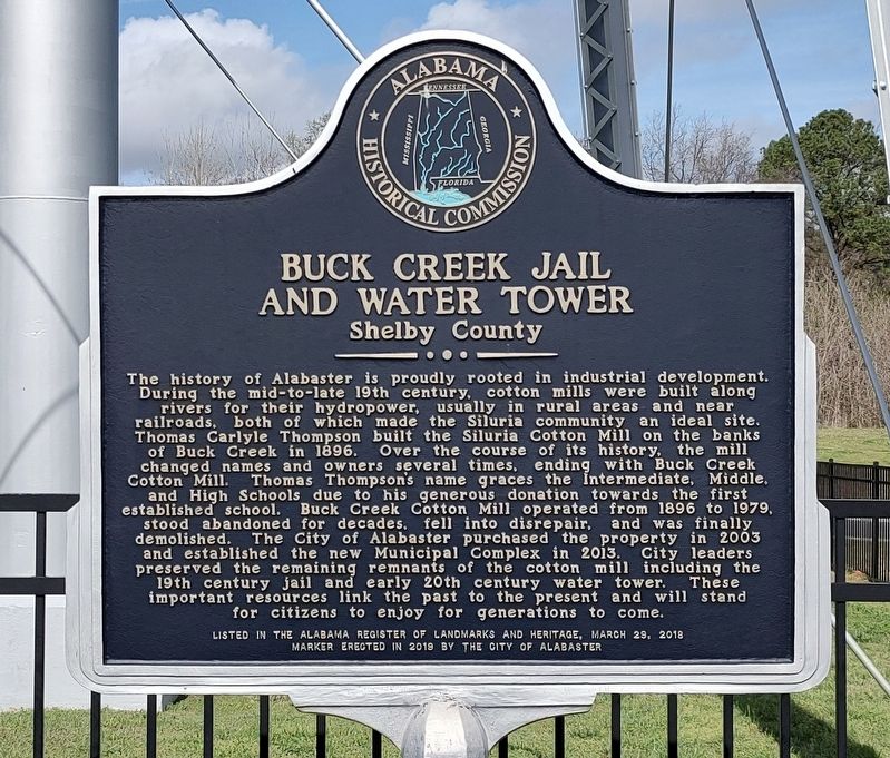
1. Buck Creek Jail and Water Tower Marker
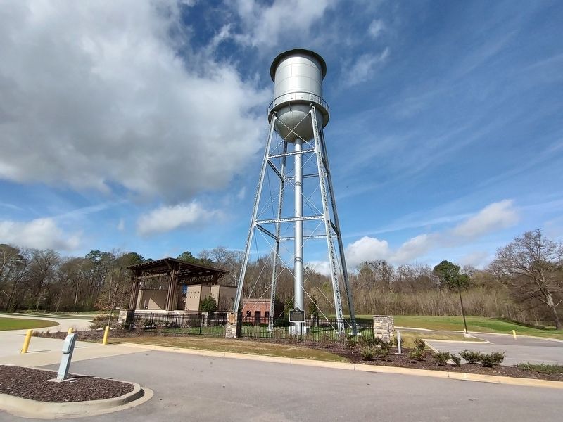
The history of Alabaster is proudly rooted in industrial development. During the mid-to-late 19th century, cotton mills were built along rivers for their hydropower, usually in rural areas and near railroads, both of which made the Siluria community, an ideal site. Thomas Carlyle Thompson built the Siluria Cotton Mill on the banks of Buck Creek in 1896. Over the course of its history, the mill changed names and owners several times, ending with Buck Creek Cotton Mill. Thomas Thompson's name graces the Intermediate, Middle, and High Schools due to his generous donation towards the first established school. Buck Creek Cotton Mill operated from 1896 to 1979, stood abandoned for decades, fell into disrepair, and was finally demolished. The City of Alabaster purchased the property in 2003 and established the new Municipal Complex in 2013. City leaders preserved the remaining remnants of the cotton mill including the 19th century jail and early 20th century water tower. These important resources link the past to the present and will stand for citizens to enjoy for generations to come.
Erected 2019
this page online
Topics. This historical marker is listed in these topic lists: Education • Industry & Commerce • Law Enforcement. A significant historical year for this entry is 1896.
Location. 33° 13.989′ N, 86° 49.6′ W. Marker is in Alabaster, Alabama, in Shelby County. It is at the intersection of Municipal Way and 11th Ave SW on Municipal Way. Touch for map. Marker is at or near this postal address: 1953 Municipal Wy, Alabaster AL 35007, United States of America. Touch for directions.

Regionally, this marker is in the Birmingham Metropolitan Area. It is also in the American South and specifically in the Deep South. Globally, it is in North America, a Gulf of Mexico state, the Western Hemisphere, the Western World, and the Anglosphere. Historically, it finds itself in what was once New Spain, the territory of the Mississippian Culture, one of the Confederate States of America, and the Antebellum South.
Other nearby markers. At least 8 other markers are within 5 miles of this marker, measured as the crow flies: The Founding of Alabaster / Siluria (about 400 feet away,
Photographed by Jimmy Emerson, March 11, 2026
2. Buck Creek Jail and Water Tower Marker
Another marker is no longer nearby. Shelbyville, A. T. (was approx. 3.8 miles away but has been confirmed missing).
Credits. This page was last revised on March 15, 2026. It was originally submitted on March 13, 2026, by Jimmy Emerson of Dalton, Georgia. This page has been viewed 25 times since then. Photos: 1, 2. submitted on March 13, 2026, by Jimmy Emerson of Dalton, Georgia. • James Hulse was the editor who published this page.
