Aurora in York Region, Ontario — Central Canada (North America)
A Historic Landscape

Photographed by Tim Boyd, March 9, 2026
1. A Historic Landscape Marker
The families of Hillary House adopted the philosophy of embracing nature's bounty and creating an inviting space to entertain and enjoy. It is likely that many of the trees still found on the property today were already here or planted around the same time as the house was built in 1862. The families also enjoyed the sights and smells of lilac bushes that lined the property as well as a lawn full of snowdrops and scilla in the spring.
Erected by Aurora Historical Society.
Topics. This historical marker is listed in these topic lists: Architecture • Parks & Recreational Areas. A significant historical year for this entry is 1862.
Location. 44° 0.162′ N, 79° 28.118′ W. Marker is in Aurora, Ontario, in York Region. It is at the intersection of Yonge Street and Maple Street, on the right when traveling
this page online

Regionally, this marker is in Greater Toronto, specifically on the Golden Horseshoe, in the York, Durham and Headwaters Area, and in the Toronto Metropolitan Area. It is also in Central Canada. Globally, it is in North America, the Western Hemisphere, the Western World, and the Anglosphere. Historically, it finds itself in what was once a British colony, the Viceroyalty of New France, the Haudenosaunee (Iroquois) Confederacy, and Rupert’s Land.
Other nearby markers. At least 8 other markers are within walking distance of this marker: A Place to Relax and Celebrate (a few steps from this marker); The Many Lives of Hillary House (a few steps from this marker); A Look Outside Hillary House (a few steps from this marker); It’s Love-All For Tennis in Aurora (within shouting distance of this marker); The Barn: a Necessity for Rural Doctors (within shouting distance of this marker); Using the Grounds (within
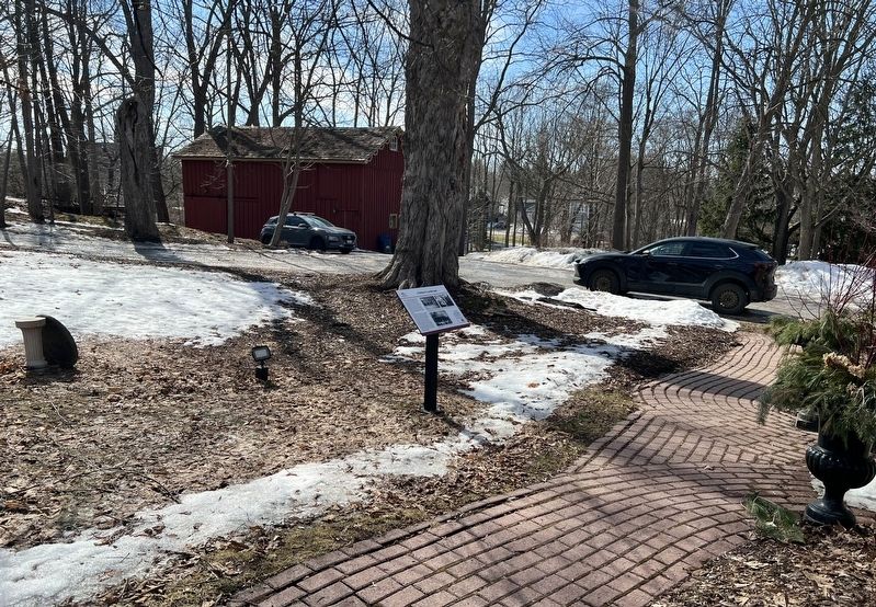
Photographed by Tim Boyd, March 9, 2026
2. A Historic Landscape Marker

Photographed by Tim Boyd, March 9, 2026
3. Hillary House National Historic Site in 2026
Credits. This page was last revised on March 15, 2026. It was originally submitted on March 14, 2026, by Tim Boyd of Hamilton, Ontario. This page has been viewed 16 times since then. Photos: 1, 2, 3. submitted on March 14, 2026, by Tim Boyd of Hamilton, Ontario. • Andrew Ruppenstein was the editor who published this page.
