
Near Spotsylvania Courthouse in Spotsylvania County, Virginia — The American South (Mid-Atlantic)
A Fatal Reconnaissance
The Battle of Chancellorsville
Fredericksburg and Spotsylvania National Military Park
| — | National Park Service, U.S. Department of the Interior | — |
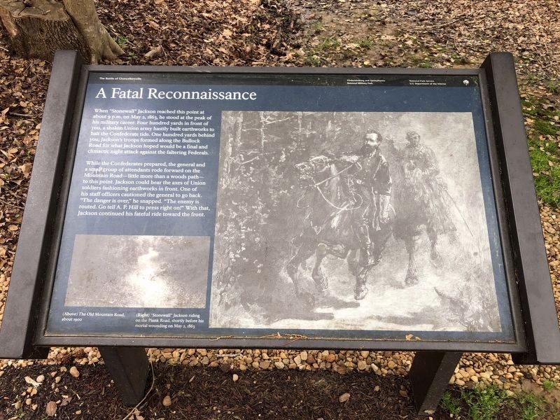
When "Stonewall" Jackson reached this point at about 9 p.m. on May 2, 1863, he stood at the peak of his military career. Four hundred yards in front of you, a shaken Union army hastily built earthworks to halt the Confederate tide. One hundred yards behind you, Jackson's troops formed along the Bullock Road for what Jackson hoped would be the final and climactic night attack against the faltering Federals.
While the Confederates prepared, the general and a small group of attendants rode forward on the Mountain Road - little more than a woods path - to this point. Jackson could hear the axes of Union soldiers fashioning earthworks in front. One of his staff officers cautioned the general to go back. "The danger is over," he snapped. "The enemy is routed. Go tell A.P. Hill to press right on!" With that, Jackson continued his fateful ride toward the front.
Erected by National Park Service, U.S. Department of the Interior.
Topics. This historical marker is listed in this topic list: War, US Civil. A significant historical date for this entry is May 2, 1863.
Location. 38° 18.661′ N, 77° 38.937′ W. Marker is near Spotsylvania Courthouse,
this page online

Regionally, this marker is in the Washington Metropolitan Area, in Northern Virginia, and in the Piedmont. It is also in the American South, specifically in the Upper South, in the Mid-Atlantic, and on the Eastern Seaboard. Globally, it is in the North Atlantic Region, North America, the Western Hemisphere, the Western World, and the Anglosphere. Historically, it finds itself in what was once the territory of the Mississippian Culture, one of the original Thirteen Colonies, one of the Confederate States of America, and the Antebellum South.
Other nearby markers. At least 8 other markers are within walking distance of this marker: Chancellorsville Campaign (within shouting
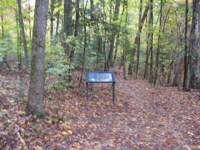
Photographed by Craig Swain, November 10, 2007
2. A Fatal Reconnaissance Marker
Other markers no longer nearby. Confederate Catastrophe (was within shouting distance of this marker but has been permanently removed); a different marker also named Chancellorsville Campaign (was about 300 feet away, measured in a direct line but has been permanently removed).
More about this marker. The right side of the marker is a drawing of "Jackson riding on the Plank Road, shortly before his mortal wounding on May 2, 1863." On the lower left is a photo of "The Old Mountain Road about 1900."
Regarding A Fatal Reconnaissance. This is one of several markers for the Battle of Chancellorsville
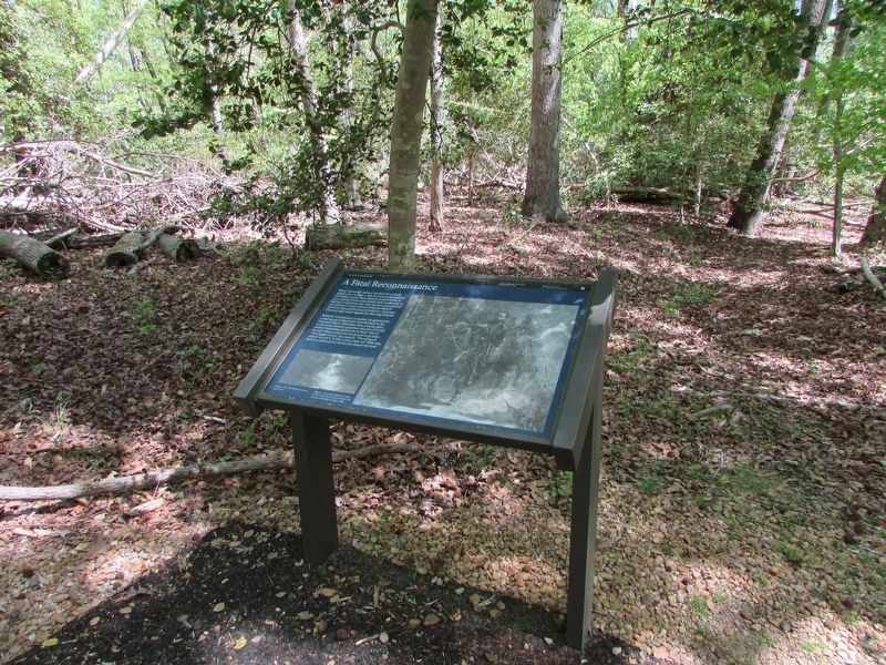
Photographed by Bill Coughlin, April 18, 2023
3. A Fatal Reconnaissance Marker
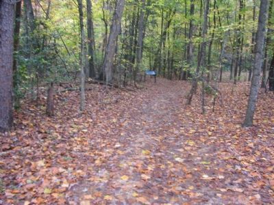
Photographed by Craig Swain, November 10, 2007
4. The Mountain Road Today
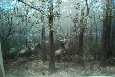
Photographed by Brandon Fletcher, July 18, 2008
5. Visitor Center Illustration of Jackson's wounding
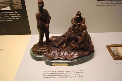
Photographed by Brandon Fletcher, July 18, 2008
6. Visitor Center Illustration of Jackson's wounding
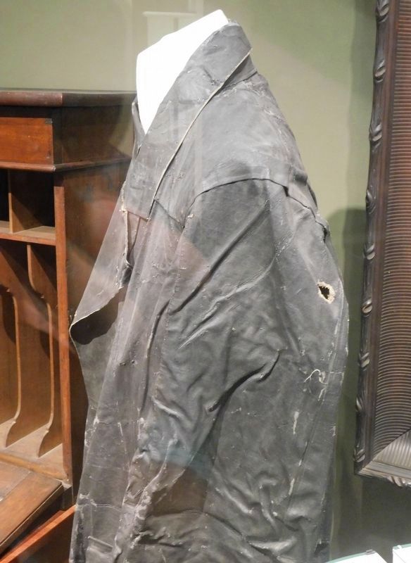
Photographed by Bradley Owen, October 15, 2017
7. Coat Worn By Stonewall Jackson When He Was Fatally Wounded
Located at the Virginia Military Institute Museum in Lexington, Virginia.
Credits. This page was last revised on March 15, 2026. It was originally submitted on December 4, 2007. This page has been viewed 2,240 times since then and 44 times this year. Last updated on March 14, 2026. Photos: 1. submitted on April 20, 2021, by Devry Becker Jones of Washington, District of Columbia. 2. submitted on December 4, 2007, by Craig Swain of Leesburg, Virginia. 3. submitted on April 24, 2023, by Bill Coughlin of Woodland Park, New Jersey. 4. submitted on December 4, 2007, by Craig Swain of Leesburg, Virginia. 5, 6. submitted on July 25, 2015, by Brandon Fletcher of Chattanooga, Tennessee. 7. submitted on January 30, 2021, by Bradley Owen of Morgantown, West Virginia. • Devry Becker Jones was the editor who published this page.
