
Near Spotsylvania Courthouse in Spotsylvania County, Virginia — The American South (Mid-Atlantic)
Confederate Catastrophe
The Battle of Chancellorsville
Fredericksburg and Spotsylvania National Military Park
| — | National Park Service, U.S. Department of the Interior | — |
Photographed by Craig Swain, November 10, 2007
1. Confederate Catastrophe Marker
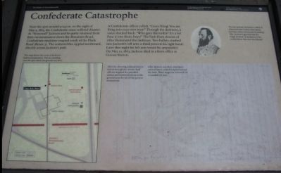
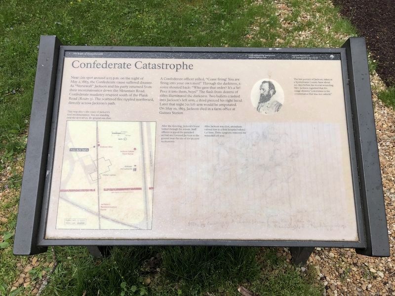
Near this spot around 9:15 p.m. on the night of May 2, 1863, the Confederate cause suffered disaster. As "Stonewall" Jackson and his party returned from their reconnaissance down the Mountain Road, Confederate musketry erupted south of the Plank Road (Route 3). The scattered fire rippled northward, directly across Jackson's path.
A Confederate officer yelled, "Cease firing! You are firing into your own men!" Through the darkness, a voice shouted back: "Who gave that order? It's a lie! Pour it into them, boys!" The flash from dozens of rifles illuminated the darkness. Two bullets crashed into Jackson's left arm; a third pierced his right hand. Later that night his left arm would be amputated. On May 10, 1863, Jackson died in a farm office at Guinea Station.
Erected by National Park Service, U.S. Department of the Interior.
Topics. This historical marker is listed in this topic list: War, US Civil. A significant historical date for this entry is May 2, 1887.
Location. Marker has been permanently removed. It was located near 38° 18.662′ N, 77° 38.988′ W. Marker was near Spotsylvania Courthouse, Virginia, in Spotsylvania County.
this page online
We have been informed that this marker is no longer there and will not be replaced. This page is an archival view of what was.
Regionally, this marker was in the Washington Metropolitan Area, in Northern Virginia, and in the Piedmont. It was also in the American South, specifically in the Upper South, and in the Mid-Atlantic. Globally, it was in the North Atlantic Region, North America, the Western Hemisphere, the Western World, and the Anglosphere. Historically, it found itself in what was once the territory of the Mississippian Culture, one of the original Thirteen Colonies, one of the Confederate States of America, and the Antebellum South.

Other nearby markers. At least 8 other markers are within walking distance of this location: Jackson Monuments (a few
Photographed by Devry Becker Jones (CC0), April 17, 2021
2. Confederate Catastrophe Marker
The marker has weathered.
More about this marker. On the lower left, "This map shows the route of Jackson's fatal reconnaissance. You are standing near the spot where the general was shot."
On the upper right is "The last portrait of Jackson, taken at a Spotsylvania County farm about ten days before his mortal wounding. Mrs. Jackson regretted that the image showed 'a sternness to his countenance that was not natural.'"
In the lower center is a copy of a sketch showing the wounding incident. "After the shooting, Jackson's horse bolted through the woods.
Photographed by Craig Swain, November 10, 2007
3. Confederate Catastrophe Marker
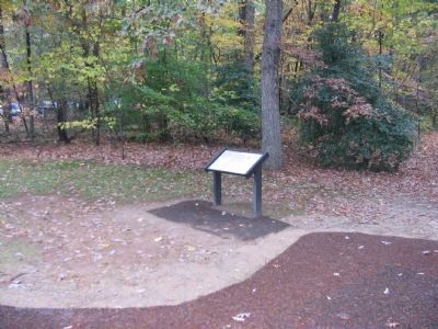
Regarding Confederate Catastrophe. This is one of several markers for the Battle of Chancellorsville along the Wounding of Stonewall Jackson walking trail. See the Wounding of Stonewall Jackson Tour by Markers in the links section for a listing of related markers on the tour.
Related marker. Click here for another marker that is related to this marker. It replaced this marker in the same location.
Also see . . .
1. Jackson's Wounding. A map on this site points out the locations of the wounding in relation to modern landmarks. (Submitted on December 4, 2007, by Craig Swain of Leesburg, Virginia.)
2. Wounding of Stonewall Jackson Virtual Tour by Markers. This virtual tour includes markers on the Wounding of Stonewall Jackson walking trail and sites associated with the Jackson's death on May 10, 1863. (Submitted on December 8, 2007, by Craig Swain of Leesburg, Virginia.)
Photographed by Craig Swain, November 10, 2007
4. Location of Jackson's Wounding
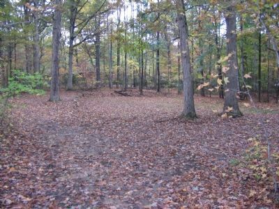
Jackson was wounded at a spot within a few strides from the modern visitors center.
Photographed by Bill Coughlin, August 21, 2012
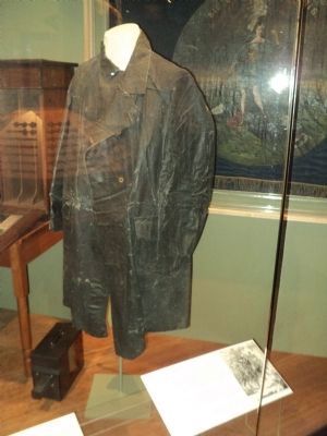
5. Jackson's Raincoat
The raincoat that Gen. Jackson was wearing on the night of his wounding is on display at the VMI Museum in Lexington, Va.
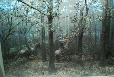
Photographed by Brandon Fletcher, July 18, 2008
6. Visitor Center Illustration of Jackson's wounding
Credits. This page was last revised on March 22, 2026. It was originally submitted on December 4, 2007, by Craig Swain of Leesburg, Virginia. This page has been viewed 2,133 times since then and 36 times this year. Last updated on March 14, 2026, by Evan Dwyer of Richmond, Virginia. Photos: 1. submitted on December 4, 2007, by Craig Swain of Leesburg, Virginia. 2. submitted on April 20, 2021, by Devry Becker Jones of Washington, District of Columbia. 3, 4. submitted on December 4, 2007, by Craig Swain of Leesburg, Virginia. 5. submitted on August 24, 2012, by Bill Coughlin of Woodland Park, New Jersey. 6. submitted on July 25, 2015, by Brandon Fletcher of Chattanooga, Tennessee. • Devry Becker Jones was the editor who published this page.
