Downtown in Suquamish in Kitsap County, Washington — The American West (Northwest)
Chief Seattle

1. 1940 Chief Seattle Marker
Erected 1940 by Seattle Chapter Daughters of the American Revolution.
Topics. This historical marker is listed in this topic list: Indigenous Peoples and Communities. A significant historical year for this entry is 1866.
Location. 47° 43.792′ N, 122° 33.072′ W. Marker is in Suquamish, Washington, in Kitsap County. It is in Downtown. It is on Northeast Parkway near Harris Avenue NE. Following a period of storage, the Suquamish Tribe has relocated this marker to a site that is a respectful site with a better display for public viewing. Touch for map. Marker is at or near this postal address: 7235 NE Pkwy, Suquamish WA 98392, United States of America. Touch for directions.

Regionally, this marker is in the Puget Sound Region and in Greater Seattle. It is also on the American Pacific Coast, in the Pacific Northwest, and in the Lewis & Clark Corridor. Globally, it is in North America, on the Ring of Fire, on the Pacific Rim, in the Western
this page online
Other nearby markers. At least 8 other markers are within 9 miles of this marker, measured as the crow flies: 85th Anniversary of our National Independence (approx. 2.1 miles away); Young’s Block (approx. 4.4 miles away); Hiram M. Chittenden Locks (approx. 8.4 miles away); Carkeek Park (approx. 8.4 miles away); James & Sarah Thompson House (approx. 8.6 miles away); David & Joyce Olson House (approx. 8.6 miles away); St. Paul's Church (approx. 8.6 miles away); Eugene & Ann DeFord House (approx. 8.6 miles away).
More about this marker. The marker is a bronze plaque mounted on a granite boulder. The above-listed chapter of the Daughters of the American Revolution was initially named the Seattle Chapter (1906-1941) and, after placement, the chapter was renamed as the Chief Seattle Chapter (1942-1993). It disbanded in 1993. The Suquamish Tribe recently moved the marker, due to road construction at its previous site, and a dedication ceremony is forthcoming.
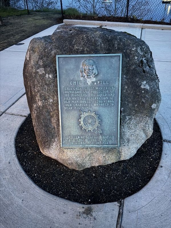
Photographed by Mandy Maher, March 14, 2026
2. Chief Seattle Marker
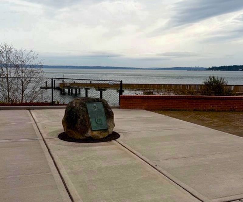
Photographed by Mandy Maher
3. Chief Seattle Marker
Now sitting near the waterfront, in view of the dock.
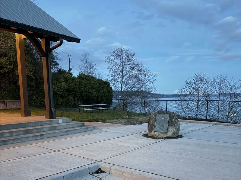
Photographed by Mandy Maher, March 14, 2026
4. Chief Seattle Marker
Credits. This page was last revised on March 22, 2026. It was originally submitted on February 26, 2025, by Shirley A Stirling of Lacey, Washington. This page has been viewed 282 times since then and 69 times this year. Last updated on March 14, 2026, by Shirley A Stirling of Lacey, Washington. Photos: 1. submitted on March 20, 2026, by Shirley A Stirling of Lacey, Washington. 2. submitted on March 14, 2026, by Shirley A Stirling of Lacey, Washington. 3, 4. submitted on March 19, 2026, by Shirley A Stirling of Lacey, Washington. • Devry Becker Jones was the editor who published this page.
