
Mitte Cultural District in Brownsville in Cameron County, Texas — The American South (West South Central)
Washington Park
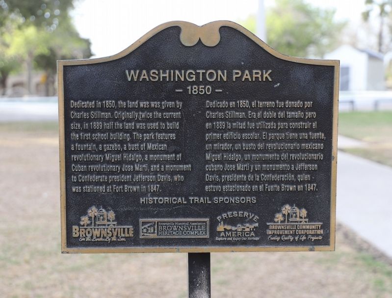
Photographed by Dave W, March 14, 2026
1. Washington Park Marker

Dedicated in 1850, the land was was given by Charles Stillman. Originally twice the current size, in 1889 half the land was used to build the first school building. The park features a fountain, a gazebo, a bust of Mexican revolutionary Miguel Hidalgo, a monument of Cuban revolutionary Jose Marti, and a monument to Confederate president Jefferson Davis, who was stationed at Fort Brown in 1847.
Erected by City of Brownsville, Brownsville Heritage Complex, Preserve America and Brownsville Community Improvement Corporation.
Topics. This historical marker is listed in these topic lists: Education • Parks & Recreational Areas. A significant historical year for this entry is 1850.
Location. 25° 54.34′ N,
this page online

Regionally, this marker is in South Texas. It is also in the American South and on the Gulf Coast. Globally, it is in North America, a Gulf of Mexico state, the Western Hemisphere, the Western World, and the Anglosphere. Historically, it finds itself in what was once New Spain, the Republic of Texas, and one of the Confederate States of America.
Other nearby markers. At least 8 other markers are within walking distance of this marker: Site of Old Grammar School (a few steps from this marker); Putegnat Elementary (a few steps from this marker); Cavazos-Truss Residence (about 600 feet away, measured in a direct line); Cavazos House (about 600 feet away); Cavazos/Truss House (about 600 feet away); Southern Pacific Depot (about 600 feet away);

Photographed by Dave W, March 14, 2026
2. Washington Park Marker
Credits. This page was last revised on March 16, 2026. It was originally submitted on March 15, 2026, by Dave W of Co, Colorado. This page has been viewed 12 times since then. Photos: 1, 2. submitted on March 15, 2026, by Dave W of Co, Colorado. • James Hulse was the editor who published this page.
