Mitte Cultural District in Brownsville in Cameron County, Texas — The American South (West South Central)
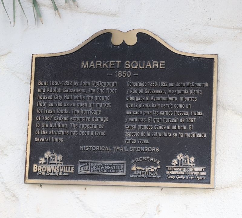
Market Square
- 1850 -
Photographed by Dave W, March 14, 2026
1. Market Square Marker

Built 1850-1852 by John McDonough and Adolph Seuzeneau, the 2nd floor housed City Hall while the ground floor served as an open air market for fresh foods. The hurricane of 1867 caused extensive damage to the building. The appearance of the structure has been altered several times.
Erected by City of Brownsville, Brownsville Heritage Complex, Preserve America and Brownsville Community Improvement Corporation.
Topics. This historical marker is listed in these topic lists: Agriculture • Charity & Public Work • Disasters • Industry & Commerce. A significant historical year for this entry is 1850.
Location. 25° 54.129′ N, 97° 29.832′ W. Marker is in Brownsville, Texas, in Cameron County. It is in the Mitte Cultural District. It is at the intersection of Market Square Street and E
this page online

Regionally, this marker is in South Texas. It is also in the American Borderlands, in the South, and on the Gulf Coast. Globally, it is in North America, a Gulf of Mexico state, the Western Hemisphere, the Western World, and the Anglosphere. Historically, it finds itself in what was once New Spain, the Republic of Texas, and one of the Confederate States of America.
Other nearby markers. At least 8 other markers are within walking distance of this marker: Public Market and Town Hall (a few steps from this marker); City Hall Annex (within shouting distance of this marker); Manautou Building (within shouting distance of this marker); El Tapiz (within shouting distance of this marker); Juan H. Fernandez y Hermano Building (within shouting distance of this marker); Juan H. Fernandez Store (within shouting distance of this marker); San Fernando Building (within shouting distance of this marker); Vuittonet-St. Joseph's Pharmacy Building
Photographed by Dave W, March 14, 2026
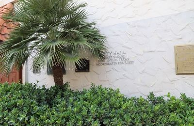
2. Market Square Marker
Marker is just to the right of the palm tree from this perspective.
Photographed by Dave W, March 14, 2026
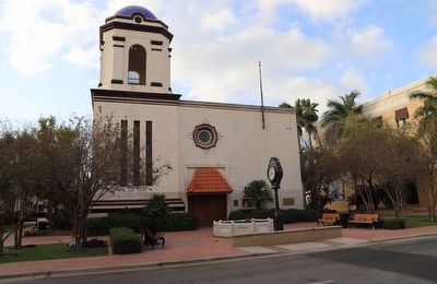
3. Market Square Marker
Marker is behind the palm tree that is just left of center frame.
Credits. This page was last revised on March 16, 2026. It was originally submitted on March 15, 2026, by Dave W of Co, Colorado. This page has been viewed 16 times since then. Photos: 1, 2, 3. submitted on March 15, 2026, by Dave W of Co, Colorado. • James Hulse was the editor who published this page.
