
Brownsville in Cameron County, Texas — The American South (West South Central)
Fort Brown Memorial Center
Photographed by Dave W, March 14, 2026
1. Fort Brown Memorial Center Marker
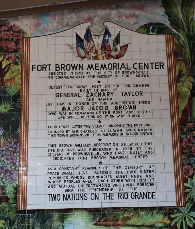
Erected in 1953 by the city of Brownsville to commemorate the history of Fort Brown.
Oldest U.S. Army Post on the Rio Grande built in 1846 by General Zachary Taylor and named by him in honor of the American hero Major Jacob Brown who was in command of the fort and lost his life while defending it on May 9, 1846.
Four years later the village adjoining the fort was founded by Mr. Charles Stillman named the town Brownsville in memory of Major Brown.
Fort Brown Military Reservation of which this site is a part, was purchased in 1948 by the citizens of Brownsville, who have built and dedicated Fort Brown Memorial Center.
As a constant reminder of the century of peace which has blessed the two sister republics, whose boundaries meet here and whose peoples greet each other with respect and mutual understanding which will forever bind the friendship of the Two Nations on the Rio Grande.
Erected by City of Brownsville.
Topics. This historical marker is listed in these topic lists: Forts and Castles • Parks & Recreational Areas • Peace. A significant historical year for this entry is 1953.
Location. 25° 53.964′ N, 97° 29.656′ W.
this page online

Regionally, this marker is in South Texas. It is also in the American South and on the Gulf Coast. Globally, it is in North America, a Gulf of Mexico state, the Western Hemisphere, the Western World, and the Anglosphere. Historically, it finds itself in what was once New Spain, the Republic of Texas, and one of the Confederate States of America.
Other nearby markers. At least 8 other markers are within walking distance of this marker: Fort Brown (within shouting distance of this marker); Bagdad-Matamoros, C.S.A. (about 500 feet away, measured in a direct line); Fort Brown Reservation (about 600 feet away); Launching Site of First U.S. Army Warplane (about 600 feet away); Commandant's Quarters (about 600 feet away); Post Hospital / Hospital Militar (about 600 feet away); Dedicated to the Memory of William Crawford Gorgas (about 600 feet away); Post Hospital
Photographed by Dave W, March 14, 2026
2. Fort Brown Memorial Center Marker
Photographed by Dave W, March 14, 2026
3. Fort Brown Memorial Center Marker
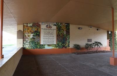
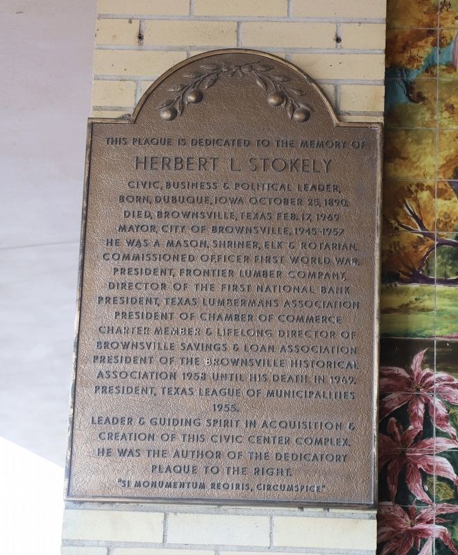
On the left in the wide view.
Photographed by Dave W, March 14, 2026
4. Fort Brown Memorial Center Marker
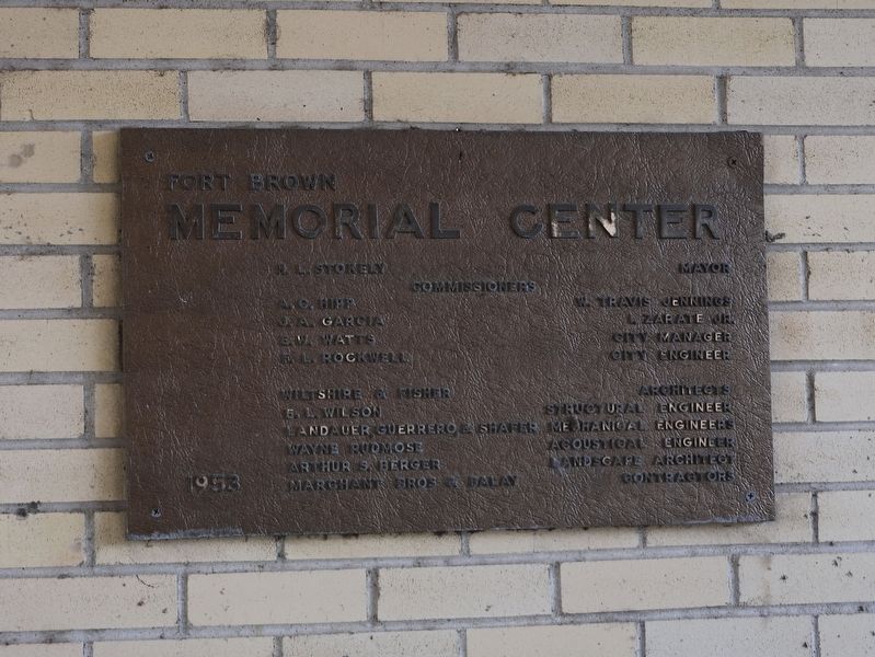
On the left of the wide view.
Credits. This page was last revised on March 16, 2026. It was originally submitted on March 15, 2026, by Dave W of Co, Colorado. This page has been viewed 24 times since then. Photos: 1, 2, 3, 4. submitted on March 15, 2026, by Dave W of Co, Colorado. • James Hulse was the editor who published this page.
