Sebastian in Willacy County, Texas — The American South (West South Central)
Sebastian
Photographed by Dave W, March 13, 2026
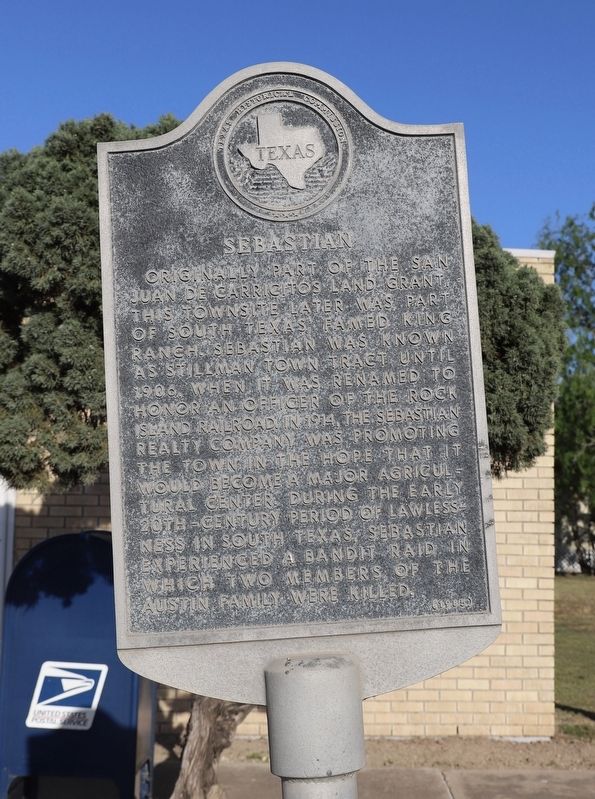
1. Sebastian Marker
Originally part of the San Juan de Carricitos land grant, this townsite later was part of South Texas' famed King Ranch. Sebastian was known as Stillman Town Tract until 1906, when it was renamed to honor an officer of the Rock Island Railroad. In 1914, the Sebastian Realty Company was promoting the town in the hope that it would become a major agricultural center. During the early 20th-century period of lawlessness in South Texas, Sebastian experienced a bandit raid in which two members of the Austin family were killed.
Erected 1985 by Texas Historical Commission. (Marker Number 4626.)
Topics. This historical marker is listed in these topic lists: Agriculture • Railroads & Streetcars • Settlements & Settlers. A significant historical year for this entry is 1906.
Location. 26° 20.549′ N, 97° 47.421′ W. Marker is in Sebastian, Texas, in Willacy County. It is at the intersection of Business 77 and Main Street, on the right when traveling north on Business 77. Touch for map. Marker is at or near this postal address: 3476 Business 77, Lyford TX 78569, United States of America. Touch for directions.

Regionally,
this page online
Other nearby markers. At least 8 other markers are within 10 miles of this marker, measured as the crow flies: Lyford (approx. 4.7 miles away); James Henry Dishman (approx. 7.2 miles away); Edward Burleson Raymond (approx. 9.4 miles away); Santa Maria de Yciar, San Esteban, Espiritu Santu (approx. 9.6 miles away); Willacy County Courthouse (approx. 9.7 miles away); Willacy County (approx. 9.7 miles away); Alejandro G. Trevino (approx. 9.7 miles away); Willacy County War Memorial (approx. 9.7 miles away).
Photographed by Dave W, March 13, 2026
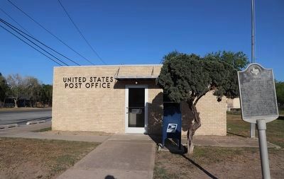
2. Sebastian Marker
Photographed by Dave W, March 13, 2026
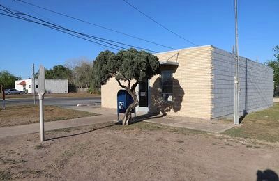
3. Sebastian Marker
Credits. This page was last revised on March 17, 2026. It was originally submitted on March 16, 2026, by Dave W of Co, Colorado. This page has been viewed 16 times since then. Photos: 1, 2, 3. submitted on March 16, 2026, by Dave W of Co, Colorado. • James Hulse was the editor who published this page.
