Liberty Township near Fairfield in Adams County, Pennsylvania — The American Northeast (Mid-Atlantic)
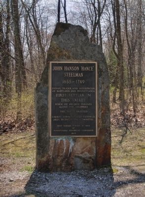
John Hanson "Hance" Steelman
(1655-1749)
Erected 1977 by Liberty Township and Fairfield Area Bicentennial Committee.
Topics. This historical marker is listed in these topic lists: Colonial Era • Communications • Industry & Commerce • Native Americans • Settlements & Settlers. A significant historical year for this entry is 1924.
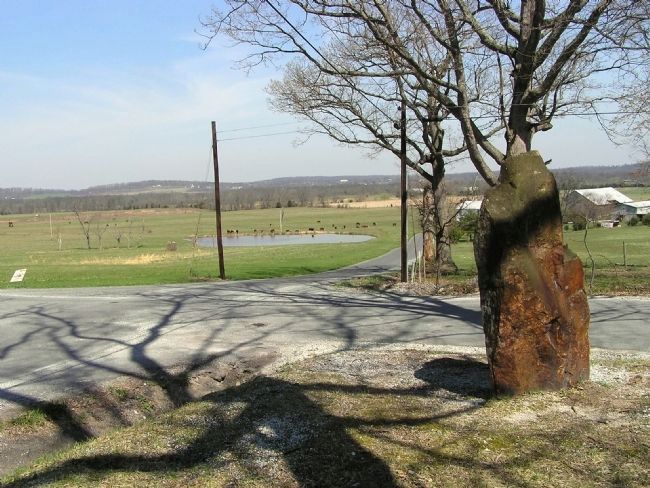
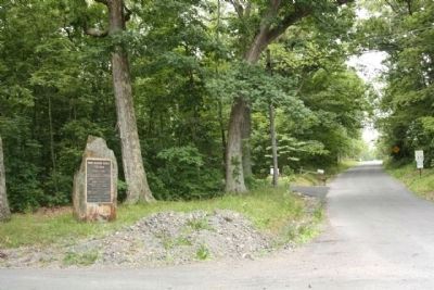
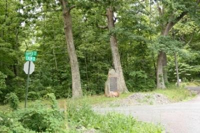
Location. 39° 44.099′ N, 77° 21.617′ W. Marker is near Fairfield, Pennsylvania, in Adams County. It is in Liberty Township. Marker is at the intersection of Steelman Marker Road and Topper Road (Local Route 312), on the right when traveling north on Steelman Marker Road. Touch for map. Marker is at or near this postal address: 24 Steelman Marker Rd, Fairfield PA 17320, United States of America. Touch for directions.
Other nearby markers. At least 8 other markers are within 3 miles of this marker, measured as the crow flies. The Emmit House (approx. 2˝ miles away in Maryland); The Spirit of the American Doughboy (approx. 2˝ miles away in Maryland); 306 West Main Street (approx. 2.6 miles away in Maryland); Jacks Mountain Road Covered Bridge (approx. 2.6 miles away); Persian Gulf Memorial (approx. 2.7 miles away in Maryland); Operation Just Cause Memorial (approx. 2.7 miles away in Maryland); Operation Urgent Fury and Lebanese Civil War Memorial (approx. 2.7 miles away in Maryland); Korean War Memorial (approx. 2.7 miles away in Maryland).
Credits. This page was last revised on February 7, 2023. It was originally submitted on April 6, 2010, by PaulwC3 of Northern, Virginia. This page has been viewed 2,041 times since then and 72 times this year. Photos: 1, 2. submitted on April 6, 2010, by PaulwC3 of Northern, Virginia. 3, 4. submitted on June 28, 2011, by Mike Stroud of Bluffton, South Carolina. • Kevin W. was the editor who published this page.


