
Guilford in South Central Region, Connecticut — The American Northeast (New England)
Westwoods
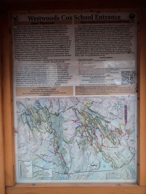
Westwoods Cox School Entrance
Photographed by Conrad Ward, March 26, 2025
1. Westwoods Cox School Entrance Marker
About Westwoods
Westwoods is one of the largest contiguous coastal forests in the corridor between New York and Boston. With 39 miles of trails across more than 1,000 acres, Westwoods is the largest recreational area in Guilford. Beginning with a generous $1.00 sale of nearly 300 acres by forester George A. Cromie to the State of Connecticut in 1928, the protection of this forest continues. Since 1928, the State of Connecticut has made three large acquisitions and the Guilford Land Conservation Trust has made 25 acquisitions of varying sizes. The Land Trust continues to purchase land to further protect Westwoods relying almost entirely on support from individual donors. The most recent GLCT purchase was of a central 17.5 acres in 2014. The trails in Westwoods were originally laid out in 1968 by Richard C. Elliot, a trail designer, and Michael Pochan, a forester, and have been maintained ever since by the Westwoods Trails Committee, a subcommittee of the Guilford Land Conservation Trust. In 1997, the State-owned land in Westwoods was renamed as the Michael Pochan Block of Cockaponset State Forest.
The Westwoods area
this page online
About Guilford Land Conservation Trust
The Guilford Land Conservation Trust (GLCT) is a nonprofit, volunteer-run organization devoted to conserving open space and natural resources in Guilford for public benefit. Formed in 1965 by local conservationists,
Photographed by Conrad Ward, March 26, 2025
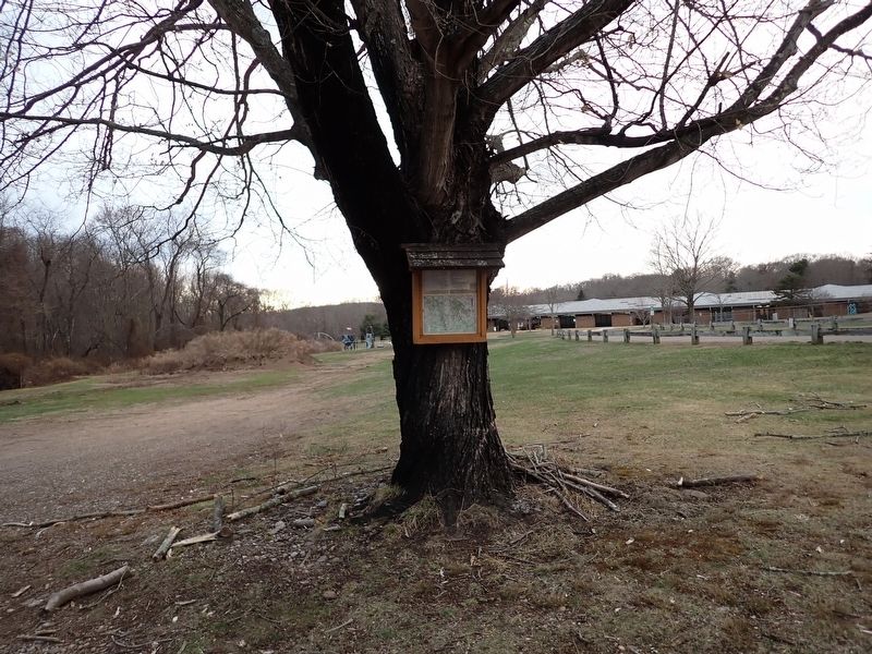
2. About Westwoods Marker
Erected by Guilford Land Conservation Trust.
Topics. This historical marker is listed in these topic lists: Charity & Public Work • Parks & Recreational Areas. A significant historical year for this entry is 1928.
Location. 41° 17.13′ N, 72° 41.733′ W. Marker is in Guilford in South Central Region, Connecticut. It is on 3 Mile Course south of Farm View Lane, on the right when traveling south. Touch for map. Marker is in this post office area: Guilford CT 06437, United States of America. Touch for directions.

Regionally, this marker is in the Connecticut River Valley, on the Connecticut Shoreline, and in Greater New Haven. It is also in the American Northeast, in New England, and on the Eastern Seaboard. Globally, it is in the North Atlantic Region, North America, the Western Hemisphere, the Western World, and the Anglosphere. Historically, it finds itself in what was once New Haven County and also one of the original Thirteen Colonies.
Other nearby markers. At least 8 other markers are within walking distance of this marker: West Side Cemetery (approx. 0.2 miles away); Stone Cider Mill (approx. 0.4 miles away); Regicide Cellar (approx. 0.4 miles away); Home of Abel and Anna Baldwin Chittenden (approx. half a mile away); Reuben Stone House (approx. half a mile away); Cranbrook Tower (approx. half a mile away); Dr. John Redfield House (approx. half a mile away); Home of Nathaniel Johnson (approx. half a mile away). Touch for a list and map of all markers in Guilford.
Also see . . . Guilford Land Conservation Trust. (Submitted on March 19, 2026, by Michael Herrick of Southbury, Connecticut.)
Credits. This page was last revised on May 19, 2026. It was originally submitted on March 18, 2026, by Conrad Ward of Guilford, Connecticut. This page has been viewed 21 times since then. Photos: 1, 2. submitted on March 18, 2026, by Conrad Ward of Guilford, Connecticut. • Michael Herrick was the editor who published this page.
