
Bradford in Bradford West Gwillimbury in Simcoe County, Ontario — Central Canada (North America)
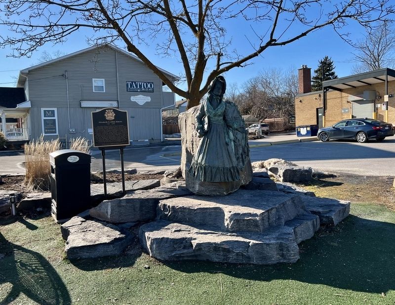
Elizabeth Gwillim Simcoe
1762 - 1850

Photographed by Tim Boyd, March 9, 2026
1. Elizabeth Gwillim Simcoe Marker
Elizabeth Posthuma Gwillim was born in Aldwinkle, Northamptonshire, England. Orphaned at birth, she was raised by her grandmother, Jemima Spinckes, and subsequently married John Graves Simcoe, the first Lieutenant-Governor of Upper Canada. In 1791 she accompanied her husband to Upper Canada where she travelled extensively. Elizabeth was an avid artist, cartographer and botanist, and her drawings, letters and records of the new colony in the late 18th century continue to be an invaluable resource. Governor Simcoe named the townships of West, East, and North Gwillimbury after, "My most excellent and noble wife." On this site, Elizabeth Simcoe looks upon historic Yonge Street, planned by Simcoe and carved through the woods by the Queen's Rangers. Returning to England in 1796, Mrs. Simcoe devoted her later years to charitable work. She is buried beside her husband at Wolford Chapel, Devon.
Erected 2008 by Bradford West Gwillimbury Local History Association.
Topics. This historical marker is listed in these topic lists: Charity & Public Work • Settlements & Settlers • Women. A significant historical year for this entry is 1791.
Location. 44° 6.919′ N,
this page online

Regionally, this marker is in Central Ontario Cottage Country and specifically in Georgian Bay Country. It is also in Central Canada. Globally, it is in North America, the Western Hemisphere, the Western World, and the Anglosphere. Historically, it finds itself in what was once a British colony, the Viceroyalty of New France, the Haudenosaunee (Iroquois) Confederacy, and Rupert’s Land.
Other nearby markers. At least 8 other markers are within 11 kilometers of this marker, measured as the crow flies: The Dutch Settlement of Holland Marsh (approx. 4.5 kilometers away); The Scotch Settlement (approx. 4.9 kilometers away); Sir William Osler (approx. 9.3 kilometers away); Sir William Mulock (approx. 9.4 kilometers away); The Kelley Swing Bridge
Photographed by Tim Boyd, March 9, 2026
2. Elizabeth Gwillim Simcoe Marker
Photographed by Tim Boyd, March 9, 2026
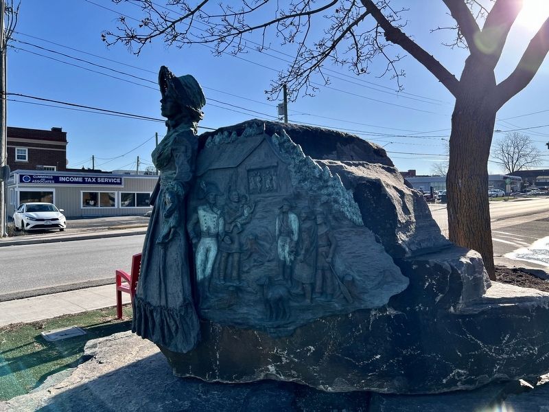
3. Elizabeth Gwillim Simcoe statue detail
Photographed by Tim Boyd, March 9, 2026
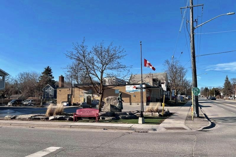
4. Elizabeth Gwillim Simcoe Marker
Facing north

March 19, 2026
5. Elizabeth Gwillim Simcoe, 1790
Library and Archives Canada (public domain)
Credits. This page was last revised on March 20, 2026. It was originally submitted on March 19, 2026, by Tim Boyd of Hamilton, Ontario. This page has been viewed 14 times since then. Photos: 1, 2, 3, 4, 5. submitted on March 19, 2026, by Tim Boyd of Hamilton, Ontario. • Devry Becker Jones was the editor who published this page.
