Near Schertz in Comal County, Texas — The American South (West South Central)
Schertz Historic Site
The Post Road
Photographed by Larry D. Moore, June 3, 2020
1. Schertz Historic Site Marker
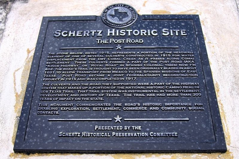
The stone below, dated 1915, represents a portion of the headwall element of one of several culverts constructed in 1915 for water displacement from the Dry Comal Creek as it passes along Comal Settlement. These culverts formed a part of the Post Road (AKA. "Kings Highway” or "Royal Road” in Spanish colonial times) now FM 482. The road's trail is thought to have been originally blazed in about 1691 to allow transport from Mexico to the Spanish missions of East Texas. Post Road became a joint federal-county reconstruction project in 1915 and was completed in 1917.
The culverts and the road they supported were a part of the highway system that makes up a portion of the national historic Camino Real de los Tejas Trail. That trail system was instrumental in the settlement, development and history of Texas. The trail has had more than 300 years of impact on the state.
This monument commemorates the road's historic importance for enabling exploration, settlement, commerce and community social contacts.
Erected by Schertz Historical Preservation Committee.
Topics. This historical marker is listed in this topic
this page online
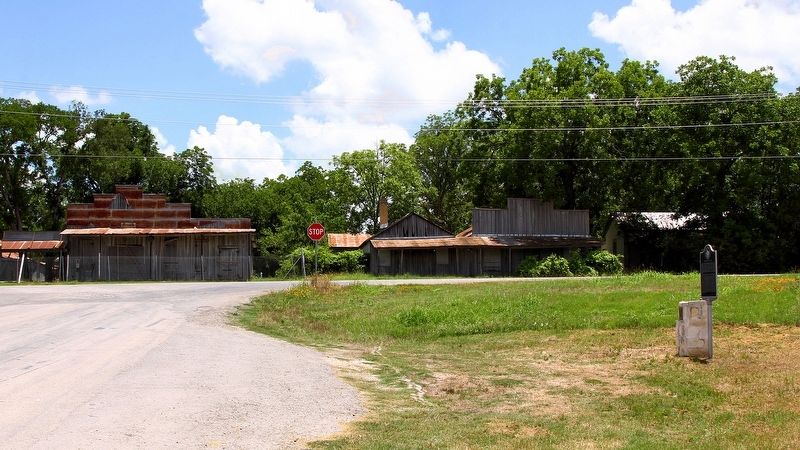
Location. Marker is missing. It was located near 29° 38.739′ N, 98° 13.418′ W. Marker was near Schertz, Texas, in Comal County. It was at the intersection of Old Nacogdoches Road and Farm to Market Road 482, on the right when traveling south on Old Nacogdoches Road. Touch for map. Marker was at or near this postal address: 22031 Old Nacogdoches Rd, New Braunfels TX 78132, United States of America. Touch for directions.

Regionally, this marker was in the Hill Country and in the San Antonio Metropolitan Area. It was also in the American South. Globally, it was in North America, a Gulf of Mexico state, the Western Hemisphere, the Western World, and the Anglosphere. Historically, it found itself in what was once New Spain, the Republic of Texas, and one of the Confederate States of America.
Other nearby markers. At least 8 other markers are within 6 miles of this location, measured as the crow flies: Comal Community (here, next to this marker); Saint Joseph Cemetery (approx. 0.2 miles away); a different marker also named Schertz Historic Site (approx.
Photographed by Larry D. Moore, June 3, 2020
2. Schertz Historic Site Marker Area

Photographed by Dave W, March 7, 2026
3. Schertz Historic Site Marker
The marker is missing.
Credits. This page was last revised on March 20, 2026. It was originally submitted on June 7, 2020, by Larry D. Moore of Del Valle, Texas. This page has been viewed 1,912 times since then and 174 times this year. Last updated on March 19, 2026, by Dave W of Co, Colorado. Photos: 1, 2. submitted on June 7, 2020, by Larry D. Moore of Del Valle, Texas. 3. submitted on March 19, 2026, by Dave W of Co, Colorado. • Devry Becker Jones was the editor who published this page.
