New Dorp on Staten Island in Richmond County, New York — The American Northeast (Mid-Atlantic)
New Dorp Park

Photographed by Larry Gertner, March 17, 2026
1. New Dorp Park Marker
What was here before?
By the mid-1800s, this parcel was located along the edge of the estate owned by William Henry Vanderbilt, railroad tycoon and philanthropist. Most of his property would later become Miller Field, a couple of blocks away. In 1894, the City obtained this small plot and built Public School No. 9, which operated for three decades. Later it became home to the New Dorp police precinct before the building was demolished in the 1960s with an aim to create a park.
How did this site become a park?
When NYC parks acquired this property in 1970, the land was overgrown and filled with debris. Although there was a need for recreational space, New Dorp residents were concerned that a park would attract illegal activity. As a compromise, Parks planted trees to create a fenced, natural woodland area, as it remains today.
Who is this park named for?
Niewe dorp, the first permanent European settlement on Staten island, is Dutch for “new town”. It was officially established in 1671 to replace Olde Dorp (Old Town), which was destroyed in the Peach War of 1655. A Dutch settler shot and killed a Wappinger woman named Tachiniki who had picked a peach from his tree. Her tribe attacked in retaliation, and the establishment of Old Town was never rebuilt. Instead, New Dorp was established at a site farther south.
In the summer of 1776, 30,000 British soldiers, led by Sir William Howe, and 10,000 British sailors under the command of his brother, Admiral Richard Howe (1726-1799), set up headquarters in New Dorp. Lord Richard made a last-minute attempt to avert war by calling a meeting with Benjamin Franklin and John Adams, but negotiations failed, and war began. The British remained in New Dorp for the duration of the Revolutionary War (1776-1781), referring to the town as Stony Brook.
Erected by NYC Parks.
this page online
Topics and series. This historical marker is listed in these topic lists: Parks & Recreational Areas • War, US Revolutionary. In addition, it is included in the NYC Parks series list. A significant historical year for this entry is 1894.
Location. 40° 34.201′ N, 74° 7.128′ W. Marker is on Staten Island, New York, in Richmond County. It is in New Dorp. It is on 8th Street south of Beach Avenue, on the left when traveling south. Touch for map. Marker is at or near this postal address: New Dorp Park, Staten Island NY 10306, United States of America. Touch for directions.

Regionally, this marker is in New York City. It is also in the American Northeast, in the Mid-Atlantic, and on the Eastern Seaboard. Globally, it is in the North Atlantic Region, North America, the Western Hemisphere, the Western World, and the Anglosphere. Historically, it finds itself in what was once New Netherland and also one of the original Thirteen Colonies.
Other nearby markers. At least 8 other markers are within walking distance of this marker: New Dorp WWII Memorial (approx. 0.3 miles away); Michael H. Ollis Memorial (approx. 0.3 miles away);

Photographed by Larry Gertner, March 17, 2026
2. NYC Parks signs

Photographed by Larry Gertner, unknown
3. Public School No. 9 - 122 Precinct building
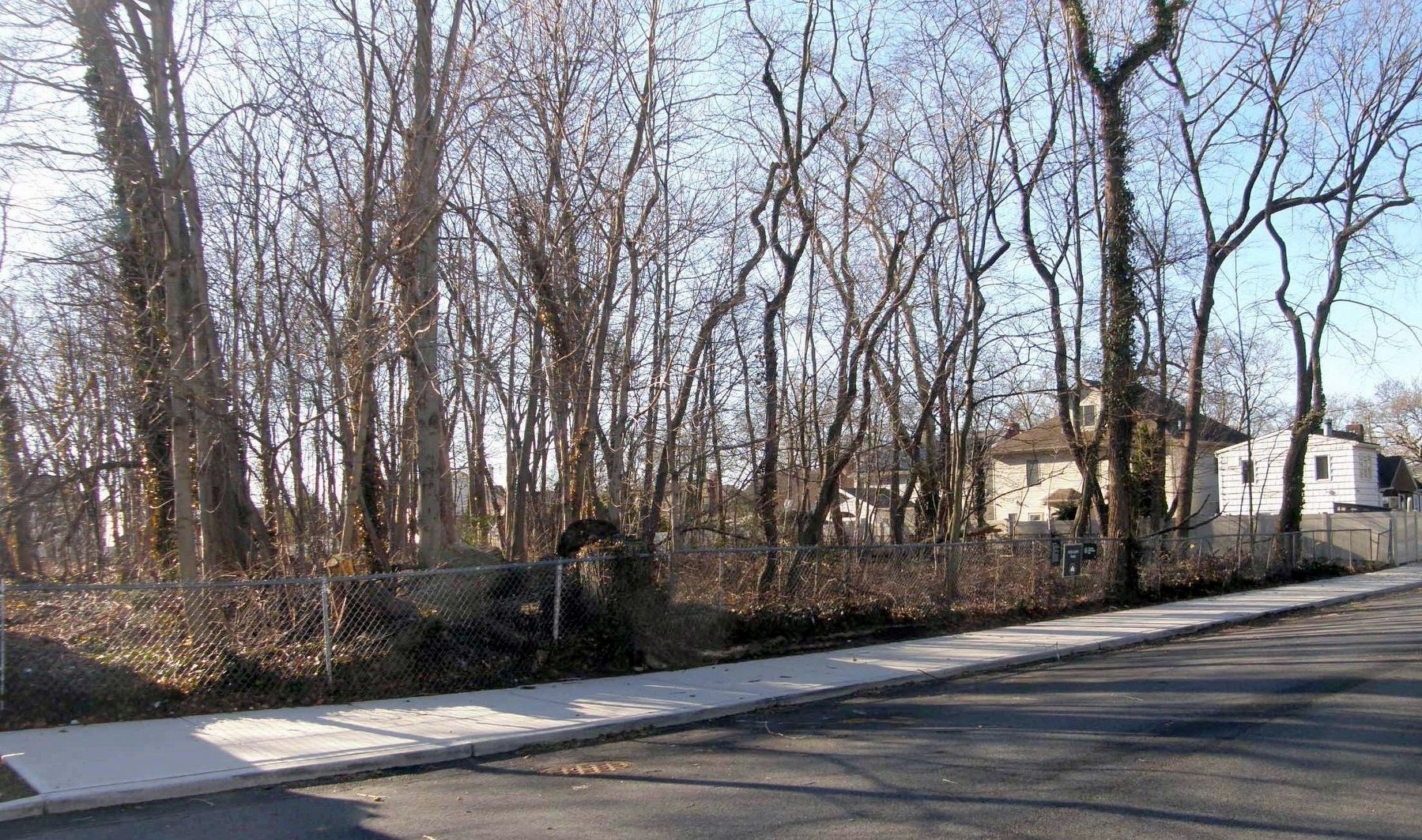
Photographed by Larry Gertner, March 20, 2026
4. New Dorp Park
Credits. This page was last revised on March 20, 2026. It was originally submitted on March 20, 2026, by Larry Gertner of New York, New York. This page has been viewed 33 times since then. Photos: 1, 2, 3, 4. submitted on March 20, 2026, by Larry Gertner of New York, New York.
