
Annapolis in Anne Arundel County, Maryland — The American Northeast (Mid-Atlantic)
The Old Treasury Building
The Oldest Public Building in Maryland
| — | The building is open to the public for self-guided tours. | — |
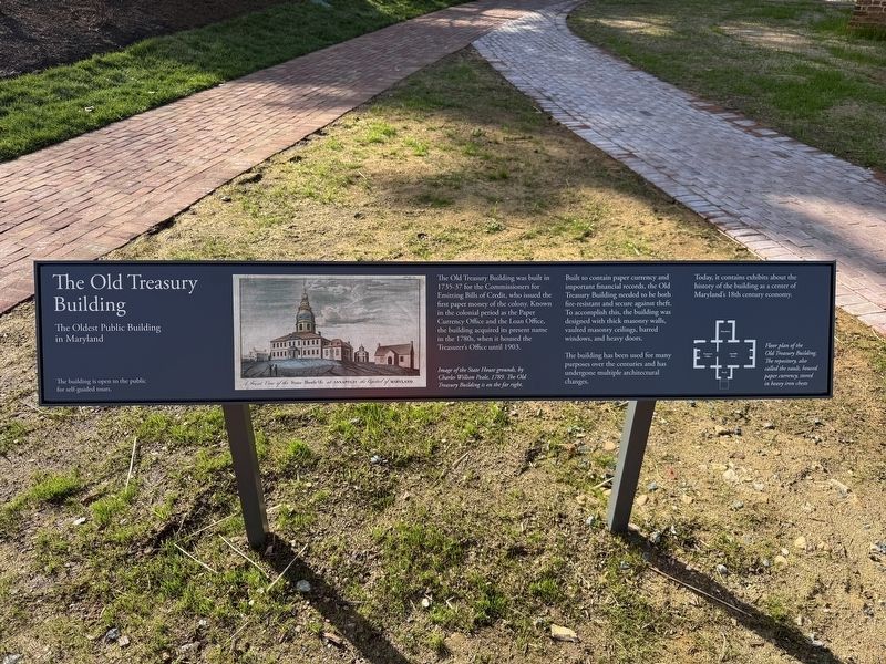
The Old Treasury Building was built in 1735-37 for the Commissioners for Emitting Bills of Credit, who issued the first paper money of the colony. Known in the colonial period as the Paper Currency Office and the Loan Office, the building acquired its present name in the 1780s, when it housed the Treasurer's Office until 1903.
Built to contain paper currency and important financial records, the Old Treasury Building needed to be both fire-resistant and secure against theft. To accomplish this, the building was designed with thick masonry walls, vaulted masonry ceilings, barred windows, and heavy doors.
The building has been used for many purposes over the centuries and has undergone multiple architectural changes.
Today, it contains exhibits about the history of the building as a center of Maryland's 18th century economy.
[Captions:]
Image of the State House grounds, by Charles Willson Peale, 1789. The Old Treasury Building is on the far right.
Floor plan of the Old Treasury Building. The repository, also called the vault, housed paper currency, stored in heavy iron chests
Topics. This historical
this page online
Location. 38° 58.732′ N, 76° 29.409′ W. Marker is in Annapolis, Maryland, in Anne Arundel County. It is at the intersection of State Circle and East Street, on the left when traveling north on State Circle. Touch for map. Marker is at or near this postal address: 47 State Cir, Annapolis MD 21401, United States of America. Touch for directions.

Regionally, this marker is in Central Maryland. It is also in the American Mid-Atlantic, in the Chesapeake Bay Region, and on the Eastern Seaboard. Globally, it is in the North Atlantic Region, North America, the Western Hemisphere, the Western World, and the Anglosphere. Historically, it finds itself in what was once one of the original Thirteen Colonies and also the Antebellum South.
Other nearby markers. At least 8 other markers are within walking distance of this marker: A different marker also named The Old Treasury Building (a few steps from this marker); St. Mary's City Cannon (within shouting distance

Photographed by Devry Becker Jones (CC0), March 21, 2026
2. The Old Treasury Building Marker with the building in the background
Other markers no longer nearby. The Old Treasury Building (was a few steps from this marker but has been replaced with another marker now near it); a different marker also named Old Treasury Building (was a few steps from this marker but has been replaced with another marker now near it); a different marker also named The Old Treasury Building (was a few steps from this marker but has been replaced with another marker now near it); a different marker also named Roger Brooke Taney (was within shouting distance of this marker but has been permanently removed).

Credits. This page was last revised on March 21, 2026. It was originally submitted on March 21, 2026, by Devry Becker Jones of Washington, District of Columbia. This page has been viewed 8 times since then. Photos: 1, 2, 3. submitted on March 21, 2026, by Devry Becker Jones of Washington, District of Columbia.
