Near Palo Pinto in Palo Pinto County, Texas — The American South (West South Central)
Brad Cemetery
Photographed by Jeff Leichsenring, March 22, 2026
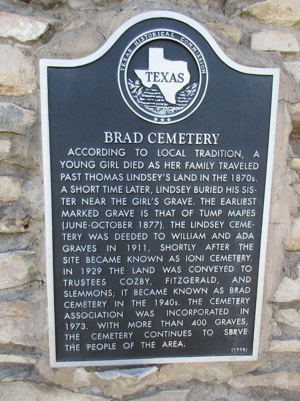
1. Brad Cemetery Marker
According to local tradition, a young girl died as her family traveled past Thomas Lindsey's land in the 1870s. A short time later, Lindsey buried his sister near the girl's grave. The earliest marked grave is that of Tump Mapes (June-October 1877). The Lindsey Cemetery was deeded to William and Ada Graves in 1911, shortly after the site became known as Ioni Cemetery. In 1929 the land was conveyed to trustees Cozby, Fitzgerald, and Slemmons; it became known as Brad Cemetery in the 1940s. The cemetery association was incorporated in 1973. With more than 400 graves, the cemetery continues to serve the people of the area.
Erected 1998 by Texas Historical Commission. (Marker Number 12135.)
Topics. This historical marker is listed in this topic list: Cemeteries & Burial Sites. A significant historical year for this entry is 1911.
Location. 32° 43.977′ N, 98° 28.084′ W. Marker is near Palo Pinto, Texas, in Palo Pinto County. It is on U.S. 180 2.1 miles west of State Highway 16, on the left when traveling north. Touch for map. Marker is in this post office area: Strawn TX 76475, United States of America. Touch for directions.

Regionally,
this page online
Other nearby markers. At least 8 other markers are within 11 miles of this marker, measured as the crow flies: Robinson School (approx. 6.9 miles away); Palo Pinto County (approx. 8½ miles away); Palo Pinto Cemetery (approx. 9.8 miles away); First Christian Church (approx. 9.9 miles away); Palo Pinto County War Memorial (approx. 10.1 miles away); John Richard Winters (approx. 10.1 miles away); Courthouses of Palo Pinto County (approx. 10.1 miles away); Jonathan Hamilton Baker (approx. 10.1 miles away). Touch for a list and map of all markers in Palo Pinto.
Photographed by Jeff Leichsenring, March 22, 2026
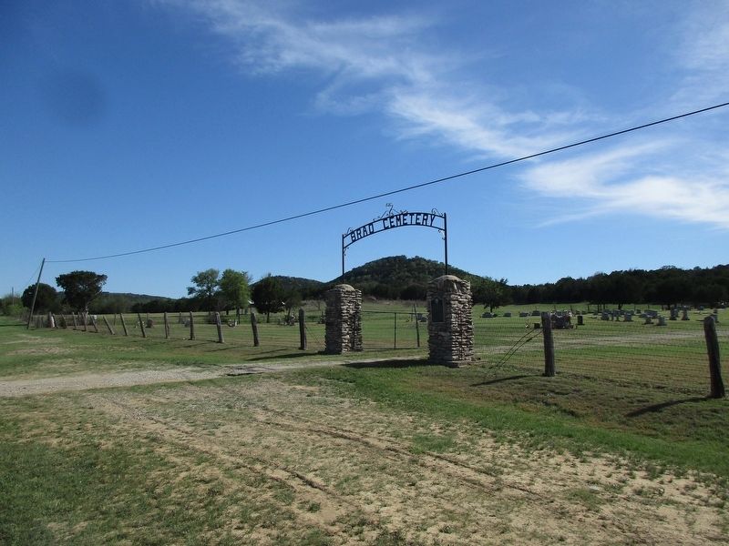
2. Brad Cemetery and marker
Credits. This page was last revised on March 23, 2026. It was originally submitted on March 22, 2026, by Jeff Leichsenring of Garland, Texas. This page has been viewed 26 times since then. Photos: 1, 2. submitted on March 22, 2026, by Jeff Leichsenring of Garland, Texas. • James Hulse was the editor who published this page.
