
North Quincy in Norfolk County, Massachusetts — The American Northeast (New England)
Moswetuset Hummock
Quincy Shore Reservation

Photographed by Conrad Ward, November 17, 2024
1. Moswetuset Hummock Marker
Before colonial times, Native Americans would have seen creeks and wetlands here in Quincy Bay, which provided them with abundant sources of food: shellfish, fish, waterfowl, and migratory birds — even whales. They lived here during spring and summer, moving inland to the area around the Blue Hills in late fall and winter. This area became particularly important for summer occupation around 8,000 years ago, when Black's Creek estuary began to develop, and it was increasingly popular thereafter.
Moswetuset Hummock was the seat of Chickataubut, the Sachem of the local native Americans (the Massachusetts) who lived in this area in the early 1600s. It is one of the few ancient sites in New England that has remained relatively undeveloped since that time. It is still bounded by the sea where the native Americans fished; the salt marshes that provided food and protection; and the planting grounds to the west.
[Caption:]
During the summer months native American subsistence activities focused on the coast and its associated estuaries, such as Black's Creek and Sachem's Brook. From their summer coastal settlements, small hunting parties made sorties into the interior uplands, such as the nearby Blue Hills, for terrestrial game such as deer, rabbits, and a variety of birds, that supplemented a diet otherwise centered on readily available fish and shellfish.
Erected by Massachusetts
this page online
Topics. This historical marker is listed in this topic list: Indigenous Peoples and Communities.
Location. 42° 17.364′ N, 71° 1.331′ W. Marker is in Quincy, Massachusetts, in Norfolk County. It is in North Quincy. It is on East Squantum Street north of Lexington Street, on the right when traveling north. Touch for map. Marker is at or near this postal address: 440 E Squantum St, Quincy MA 02171, United States of America. Touch for directions.

Regionally, this marker is in Historic Boston and specifically in Greater Boston. It is also in the American Northeast and in New England. Globally, it is in the North Atlantic Region, North America, the Western Hemisphere, the Western World, and the Anglosphere. Historically, it finds itself in what was once one of the original Thirteen Colonies.
Other nearby markers. At least 8 other markers are within walking distance of this marker: A different marker also named Moswetuset Hummock (a few steps from this marker); WWII Paratroopers and Veterans Memorial (within shouting distance

Photographed by Conrad Ward, November 17, 2024
2. Moswetuset Hummock Marker
Related markers. Click here for a list of markers that are related to this marker.
Also see . . .
1. Moswetuset Hummock (Wikipedia). (Submitted on April 24, 2025.)
2. Chikatawbut - Wikipedia.
Chickatawbut (died 1633; also known as Cicatabut and possibly as Oktabiest before 1622) was the sachem, or leader, of a large group of Indigenous people known as the Massachusett tribe in what is now eastern Massachusetts, United States . . .(Submitted on March 21, 2026, by G.W.Bartlett of Hingham, Massachusetts.)
3. Boston Harbor Islands - Indiginous History & Ways.
Indigenous people have lived in the area that is now Boston Harbor Islands National and State Park for several(Submitted on March 23, 2026, by G.W.Bartlett of Hingham, Massachusetts.)thousand years. The islands have served as both sites of ceremony and seasonal homes, as well as sites of genocidal internment and graves. Native peoples have lived and died, celebrated and remembered, stewarded and honored this land and water since time immemorial.Photographed by G.W.Bartlett, March 24, 20263. Moswetuset Hummock Boulder at entrance
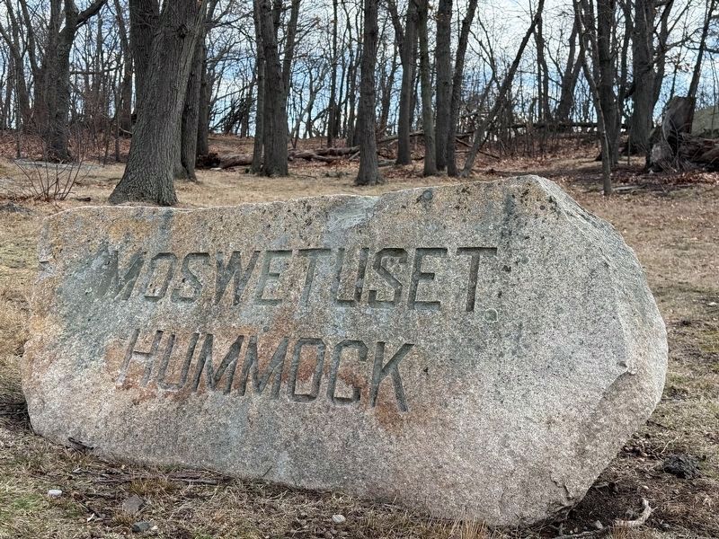
Photographed by G.W.Bartlett, March 24, 2026
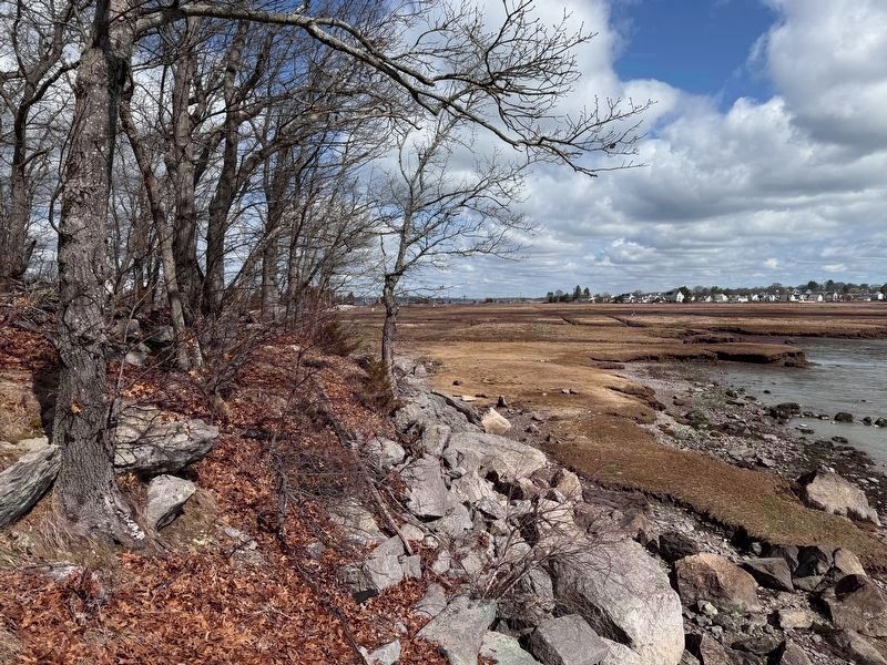
4. Moswetuset Hummock Wetlands
Flat wetlands to the east and south allow distant views toward Boston and access to Neponset River from Moswetuset Hummock. Logan Airport control tower visible at center left-to-right on the horizon in this photo.
Photographed by G.W.Bartlett, March 24, 2026
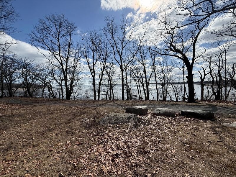
5. Moswetuset Hummock Quincy Bay View
The elevation of Moswetuset Hummock allows expansive views of Quincy Bay.
Credits. This page was last revised on March 31, 2026. It was originally submitted on April 23, 2025, by Conrad Ward of Guilford, Connecticut. This page has been viewed 153 times since then and 39 times this year. Last updated on March 23, 2026, by G.W.Bartlett of Hingham, Massachusetts. Photos: 1, 2. submitted on April 23, 2025, by Conrad Ward of Guilford, Connecticut. 3, 4, 5. submitted on March 24, 2026, by G.W.Bartlett of Hingham, Massachusetts. • Devry Becker Jones was the editor who published this page.
