Woodcliff in Roanoke, Virginia — The American South (Mid-Atlantic)
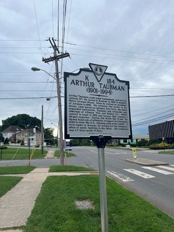
Arthur Taubman
(1901-1994)
Photographed by Stephen Escalera
1. Arthur Taubman (1901-1994) Marker
Erected 2024 by Department of Historic Resources. (Marker Number K-184.)
Topics. This historical marker is listed in these topic lists: Civil Rights • Industry & Commerce • War, World II.
Location. 37° 15.047′ N, 79° 56.865′ W. Marker is in Roanoke, Virginia. It is in Woodcliff. It is at the intersection of McClanahan Street Southwest and Carolina Avenue SW, on the right
this page online

Regionally, this marker is in the Mountain Region and in Southwest Virginia. It is also in the American South and specifically in the Upper South. Globally, it is in North America, the Western Hemisphere, the Western World, and the Anglosphere. Historically, it finds itself in what was once the territory of the Mississippian Culture, one of the original Thirteen Colonies, one of the Confederate States of America, and the Antebellum South.
Other nearby markers. At least 8 other markers are within walking distance of this marker: Big Lick Presbyterian Church (approx. 0.2 miles away); The Great Roanoke Fair & Mountain Park (approx. 0.2 miles away); History of Evan Mill and Crystal Spring (approx. 0.2 miles away); A Colonial Ford (approx. 0.3 miles away); Domestic Ducks (approx. 0.6 miles away); Red Panda (approx. 0.6 miles away); Northern Lynx (approx. 0.6 miles away); Myotonic Goats (approx. 0.6 miles away). Touch for a list and map of all markers in Roanoke.
Credits. This page was last revised on May 1, 2026. It was originally submitted on March 23, 2026, by Stephen Escalera of Roanoke, Virginia. This page has been viewed 23 times since then. Photo 1. submitted on March 23, 2026, by Stephen Escalera of Roanoke, Virginia. • Bernard Fisher was the editor who published this page.
