James Island in Secessionville in Charleston County, South Carolina — The American South (South Atlantic)
Riversville / Battle of Secessionville
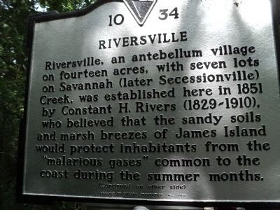
Riversville
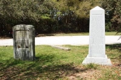
Riversville, an antebellum village of fourteen acres, with seven lots on Savannah (later Secessionville) Creek, was established here in 1851 by Constant H. Rivers (1829-1910), who believed that the sandy soils and marsh breezes of James Island would protect inhabitants from the "malarious gases" common to the coast during the summer months.
(Reverse text)
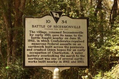
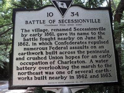
Battle of Secessionville
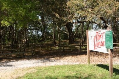
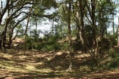
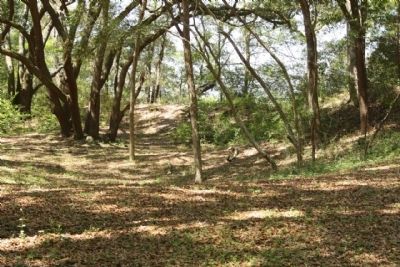
The village, renamed Secessionville by early 1861, gave its name to the battle fought nearby on June 16, 1862, in which Confederates repulsed numerous Federal assaults on an earthwork built across the peninsula and crushed Union hopes for an early occupation of Charleston. A water battery overlooking the marsh to the northeast was one of several earthworks built here in 1862 and 1863.
Erected 1999 by Chicora Foundation, Inc. (Marker Number 10-34.)
Topics. This historical marker is listed in these topic lists: Settlements & Settlers • War, US Civil. A significant historical month for this entry is June 1740.
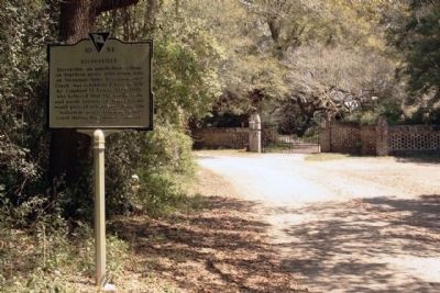
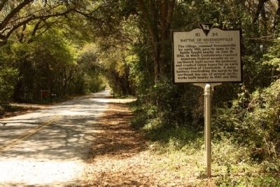
Location. 32° 42.365′ N, 79° 56.339′ W. Marker is in Secessionville, South Carolina, in Charleston County. It is on James Island. Marker is on Fort Lamar Road, on the left when traveling east . Located at the East end,Fort Lamar Road, where the pavement stops. Touch for map. Marker is in this post office area: Charleston SC 29412, United States of America. Touch for directions.
Other nearby markers. At least 8 other markers are within 3 miles of this marker, measured as the crow flies. Battle of Secessionville (approx. 0.4 miles away); Secessionville (approx. 0.4 miles away); Battery Number 5 (approx. 0.9 miles away); Battery Reed (approx. 0.9 miles away); Redoubt Number 3 (approx. 1.4 miles away); Hunter's Volunteers (approx. 1.8 miles away); Mosquito Beach (approx. 1.9 miles away); Battery Haskell (approx. 2.3 miles away).
Also see . . .
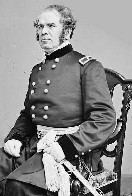
1. Brigadier General Henry Washington Benham. USA. He disobeyed orders and was subject to a court martial after the battle of James Island in June 16, 1862, at which he was in immediate command under Gen David Hunter (Submitted on April 8, 2010, by Mike Stroud of Bluffton, South Carolina.)
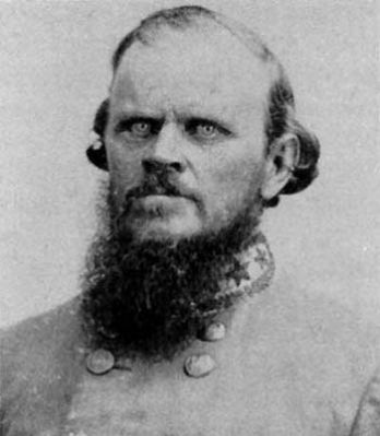
2. Nathan George "Shanks" Evans , CSA. He was placed in command of the First Military District which included Secessionville, just days before the battle there, but played little part in it. (Submitted on April 8, 2010, by Mike Stroud of Bluffton, South Carolina.)
Credits. This page was last revised on February 16, 2023. It was originally submitted on April 8, 2010, by Bill Coughlin of Woodland Park, New Jersey. This page has been viewed 2,699 times since then and 69 times this year. Photos: 1. submitted on August 6, 2013, by Bill Coughlin of Woodland Park, New Jersey. 2, 3, 4. submitted on April 8, 2010, by Mike Stroud of Bluffton, South Carolina. 5. submitted on August 6, 2013, by Bill Coughlin of Woodland Park, New Jersey. 6, 7, 8, 9, 10, 11, 12. submitted on April 8, 2010, by Mike Stroud of Bluffton, South Carolina. • Craig Swain was the editor who published this page.
