Heuchling in Lauf an der Pegnitz in Nürnberger Land, Bavaria, Germany — Central Europe
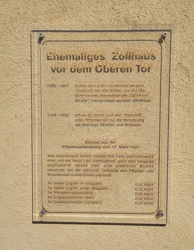
Ehemaliges Zollhaus vor dem Oberen Tor
⎯⎯⎯
Former Customs House in front of the Upper Gate
Photographed by James Hulse, March 3, 2026
1. Ehemaliges Zollhaus vor dem Oberen Tor / Former Customs House in front of the Upper Gate Marker

1300–1807 ließen die Laufer Landesherren den „Großzoll“ für alle Waren, die auf der Böhmischen Handelsstraße („Goldene Straße“) transportiert wurden, einheben.
1376–1923 erhob die Stadt Lauf den „Kleinzoll“ oder „Pflasterzoll“ für die Benutzung der örtlichen Straßen und Brücken.
Auszug aus der Pflasterzollordnung vom 17. März 1921:
Alle Auswärtigen haben, sobald ihre Tiere und Fuhrwerke eine von der Stadt Lauf unterhaltene, ganz oder teilweise gepflasterte Straße oder eine städtische Brücke berühren, bei der nächsten Zollstätte den Pflaster- und Brückenzoll zu entrichten, und zwar:
für jedes Zugtier im Anspann – 0,50 Mark
für jedes Zugtier außer Anspann – 0,25 Mark
für Personenautomobile – 2,00 Mark
für Lastautomobile (leer) – 3,00 Mark
für Lastautomobile (beladen) – 4,00 Mark
1300–1807 the territorial lords of Lauf levied the “large customs duty” on all goods transported along the Bohemian trade route (“Golden Road”).
1376–1923 the city of Lauf collected the “small customs duty” or “paving toll” for the use of local streets and bridges.
Excerpt from the paving toll regulation of 17 March 1921:
All outsiders must, as soon as their animals or wagons use a street or municipal bridge maintained by the city of Lauf—whether fully or partly paved—pay the paving and bridge toll at the nearest toll station, as follows:
for each draft animal in harness – 0.50 Mark
for each draft animal not in harness – 0.25 Mark
for passenger automobiles – 2.00 Mark
for trucks (empty) – 3.00 Mark
for trucks (loaded) – 4.00 Mark
Topics. This historical marker is listed
this page online
Location. 49° 30.783′ N, 11° 16.961′ E. Marker is in Lauf an der Pegnitz, Bayern (Bavaria), in Nürnberger Land. It is in Heuchling. It is at the intersection of Hersbrucker Straße and Mangpl., on the right when traveling south on Hersbrucker Straße. Touch for map. Marker is at or near this postal address: Hersbrucker Str 3, Lauf an der Pegnitz BY 91207, Germany. Touch for directions.

Regionally, this marker is in German Franconia. Globally, it is in Europe, the European Union, Atlantic Europe, Central Europe, the Schengen Area, Western Europe, and the Western World. Historically, it finds itself in what was once the Holy Roman Empire and also the former West Germany.
Other nearby markers. At least 8 other markers are within walking distance of this marker: Ehemaliges Zollhaus / Former Customs House (a few steps from this marker); Hersbrucker Tor / Hersbruck Gate (within shouting distance of this marker); Jan Hus (about 90 meters away, measured in a direct line); Ehemaliges Kommunbrauhaus / Former Communal Brewhouse (about 120 meters away); Thomas Alva Edison (about 150 meters away); Altes Rathaus / Old Town Hall (about 180 meters away); Kindergarten Alter Schulhof / Kindergarten Old Schoolyard (about 210 meters away); Ehemalige Pfarr- und Spitalkirche St. Leonhard / Former Parish and Hospital Church of St. Leonhard (about 210 meters away). Touch for a list and map of all markers in Lauf an der Pegnitz.
Photographed by James Hulse, March 3, 2026
2. Ehemaliges Zollhaus vor dem Oberen Tor / Former Customs House in front of the Upper Gate Marker
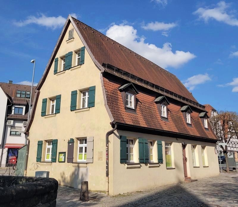
The marker is located on the southeast corner of the Custom House building.
Photographed by James Hulse, March 3, 2026
3. Ehemaliges Zollhaus vor dem Oberen Tor / Former Customs House in front of the Upper Gate Marker
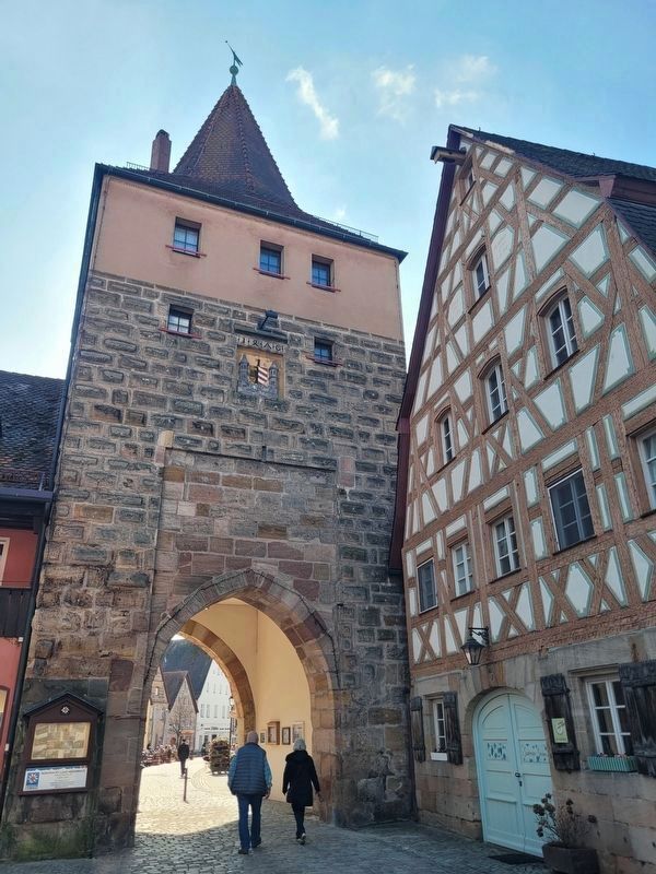
The Upper Gate is next to the Custom House building but not seen in the photo.
Credits. This page was last revised on April 1, 2026. It was originally submitted on March 24, 2026, by James Hulse of Medina, Texas. This page has been viewed 19 times since then. Photos: 1, 2, 3. submitted on March 26, 2026, by James Hulse of Medina, Texas.
