Heuchling in Lauf an der Pegnitz in Nürnberger Land, Bavaria, Germany — Central Europe
Wassertores
⎯⎯⎯
Water Gate
Photographed by James Hulse, March 3, 2026
1. Wassertores / Water Gate Marker

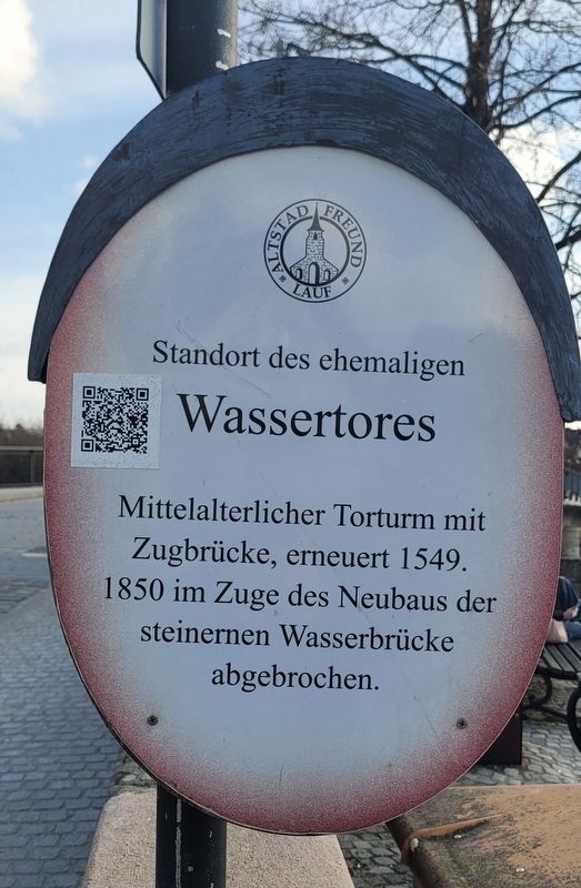
Wassertores
Mittelalterlicher Torturm mit
Zugbrücke, erneuert 1549.
1850 im Zuge des Neubaus der
steinernen Wasserbrücke
abgebrochen.
Site of the former Water Gate. Medieval gate tower with a drawbridge, renewed in 1549. Demolished in 1850 during the construction of the new stone water bridge.
Erected by Old Town Friends of Lauf e.V. (Marker Number 2.)
Topics. This historical marker is listed in this topic list: Waterways & Vessels. A significant historical year for this entry is 1549.
Location. 49° 30.621′ N, 11° 16.849′ E. Marker is in Lauf an der Pegnitz, Bayern (Bavaria), in Nürnberger Land. It is in Heuchling. It is at the intersection of Johannisstraße and Spitalstraße, on the right when traveling south on Johannisstraße. Touch for map. Marker is at or near this postal address: Johannisstraße 20, Lauf an der Pegnitz BY 91207, Germany. Touch for directions.

Regionally, this marker is in German Franconia. Globally, it is in Europe, the European Union, Atlantic Europe, Central Europe, the Schengen Area, Western Europe, and the Western World. Historically, it finds itself in what was once the Holy Roman Empire and also the former West Germany.
Other nearby markers. At least 8 other markers are within walking distance of this marker: Lauf a. d. Pegnitz, Reichelsche Schleif / Lauf on the Pegnitz, Reichel Grinding Mill (within shouting distance of this marker); Reichel’sche Schleif / Reichel Grinding Mill (within shouting distance of this marker); Judenturm / Jewish Tower (within shouting distance of this marker); Früheres Forsthaus oder "Einspänn(ig)er-Haus" / Former Forester’s House or Einspänniger House (within shouting distance of this marker); Liebesbriefe aus dem Forsthaus auf der Insel / Love Letters from the Forester’s House on the Island
this page online
Also see . . . Old Town Stroll Sign 2 – Water Gate (German language). Excerpt (in translation):
The former water gate was part of the city fortifications and secured the city entrance from the direction of Altdorf. The tower-like structure dated back to the Middle Ages and was repaired in 1549 and again in 1849.(Submitted on March 25, 2026, by James Hulse of Medina, Texas.)
On the upper floor above the gate passage were the guardroom and the official residence of the municipal gamekeeper for the city area on the left bank of the Pegnitz River.
The gate's drawbridge was part of the wooden water bridge over the Pegnitz river.
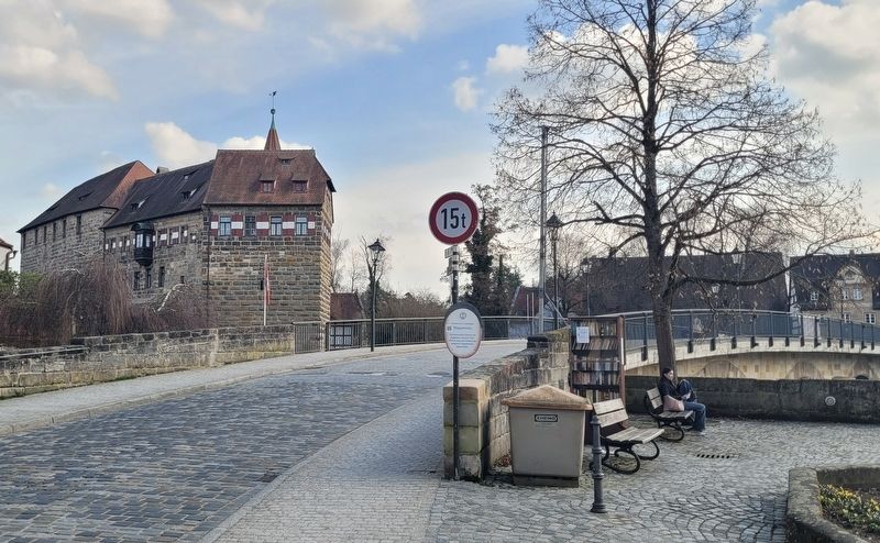
The bridge was first mentioned in 1367 and replaced the old ford on the Forchheim-Regensburg road. After being repeatedlydestroyed by floods and ice floes, the current stone bridge was rebuilt in 1852. The old water gate had to be demolished to make way for it.Photographed by James Hulse, March 3, 20262. Wassertores / Water Gate MarkerThe view of the bridge with the castle in the background.
Photographed by James Hulse, March 3, 2026
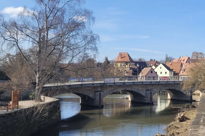
3. Wassertores / Water Gate Marker
The view of the new stone water bridge from the castle.
Photographed by James Hulse, March 3, 2026
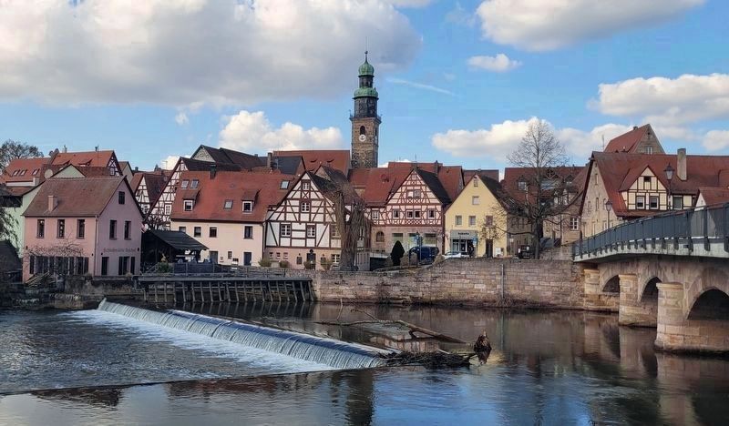
4. Wassertores / Water Gate Marker
The view of the historic town of Lauf an der Pegnitz from across the river. The new stone water bridge is located at the right side of the photo.
Credits. This page was last revised on March 26, 2026. It was originally submitted on March 25, 2026, by James Hulse of Medina, Texas. This page has been viewed 8 times since then. Photos: 1, 2, 3, 4. submitted on March 26, 2026, by James Hulse of Medina, Texas.
