Near Fort Oglethorpe in Catoosa County, Georgia — The American South (South Atlantic)
Battery I, 4th U.S. Artillery
Stephenson's Section
| — | Van Derveer's Brigade | — |
Photographed by Dale K. Benington, July 12, 2017
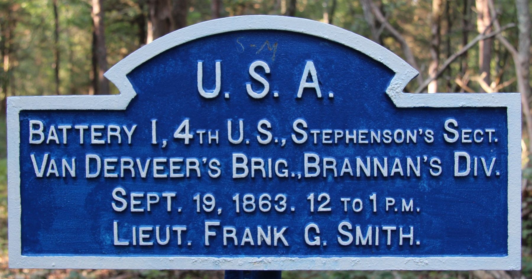
1. Battery I, 4th U.S. Artillery Marker
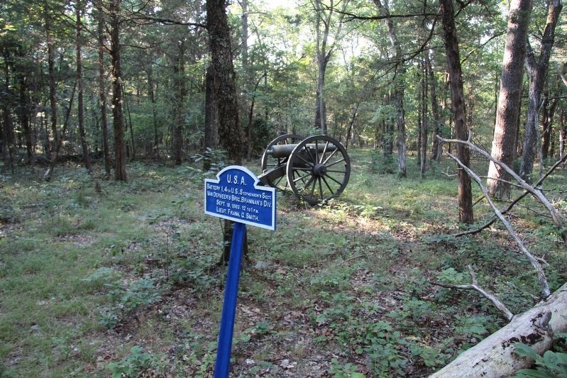
Battery I, 4th U.S., Stephenson's Section
Van Derveer's Brigade, Brannan's Division
September 19, 1863. 12 to 1 p.m.
Lieutenant Frank G. Smith.
Erected 1890 by the Chickamauga and Chattanooga National Military Park Commission. (Marker Number MT-1054B.)
Topics. This historical marker is listed in this topic list: War, US Civil. A significant historical date for this entry is September 19, 1863.
Location. Marker has been reported missing. It was located near 34° 56.351′ N, 85° 14.394′ W. Marker was near Fort Oglethorpe, Georgia, in Catoosa County. It was on Reeds Bridge Road east of Delores Drive, on the left when traveling east. This marker is situated just off of a park walking trail, in the woods, several minutes walk away from the trailhead at the roadway. Touch for map. Marker was in this post office area: Fort Oglethorpe GA 30742, United States of America. Touch for directions.

Regionally, this marker was in the Mountains. It was also in the American South and specifically in the Deep South. Globally, it was in North America, the Western Hemisphere, the Western World, and the Anglosphere. Historically, it
this page online
Other nearby markers. At least 8 other markers are within walking distance of this location: Battery D, 1st Michigan Light Artillery (within shouting distance of this marker); Dibrell's Brigade (within shouting distance of this marker); 35th Ohio Infantry (about 500 feet away, measured in a direct line); Van Derveer's Brigade (about 600 feet away); Brannan's Division (about 700 feet away); a different marker also named Van Derveer's Brigade (about 700 feet away); a different marker also named Battery I, 4th U.S. Artillery (approx. 0.2 miles away); a different marker also named Battery I, 4th U.S. Artillery (approx. 0.2 miles away). Touch for a list and map of all markers in Fort Oglethorpe.
More about this marker. This marker is situated north of the roadway, several minutes walk away from the trailhead, just off a primary walking trail, in the woods. This marker shows the position of this section of artillery in the
Photographed by Dale K. Benington, July 12, 2017
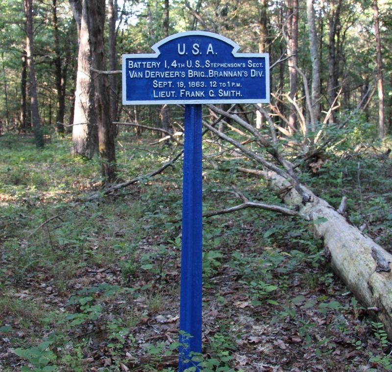
2. Battery I, 4th U.S. Artillery Marker
In locating this tablet I used the "Chickamauga Battlefield" map, that I purchased at the Chickamauga and Chattanooga National Military Park, Visitor Center, to determine both the marker number for this tablet and the tablet's location in relation to the rest of the park's monuments, markers, and tablets. According to the map it provides the, "numerical listing of all monuments, markers, and tablets on the Chickamauga Battlefield (using the Chick-Chatt NMP Monument Numbering System).”
Photographed by Dale K. Benington, July 12, 2017
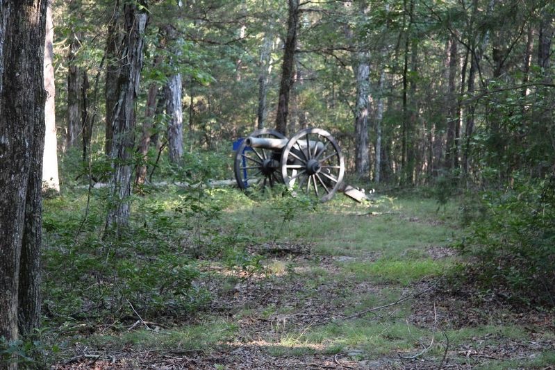
3. Battery I, 4th U.S. Artillery Marker
View of the marker and an artillery piece situated just off the primary trail and in the midst of the woods.
Photographed by Dale K. Benington, July 12, 2017
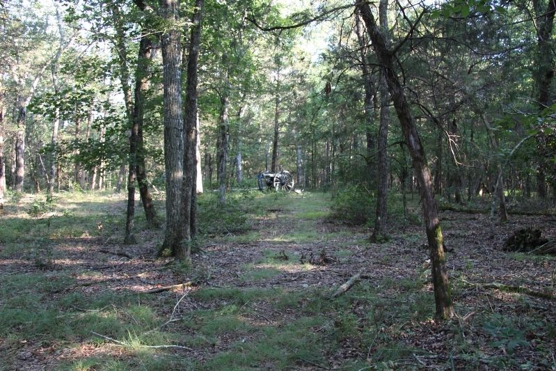
4. Battery I, 4th U.S. Artillery Marker
A more distant view of the marker and an artillery piece situated just off the primary trail and in the midst of the woods.
Photographed by Dale K. Benington, July 12, 2017
5. Battery I, 4th U.S. Artillery Marker
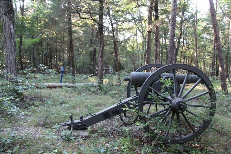
View, looking northwest, of the marker in the midst of the woods.
Photographed by Dale K. Benington, July 12, 2017
6. Battery I, 4th U.S. Artillery Marker
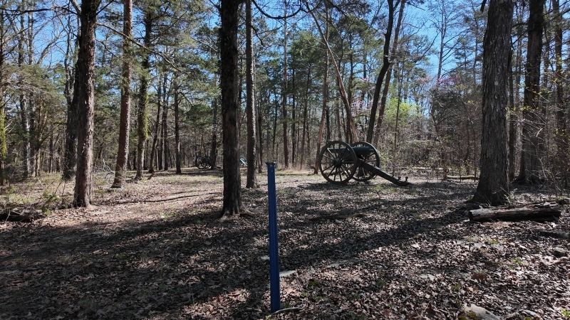
Another view of the marker and two artillery pieces situated just off the primary trail and in the midst of the woods.
Photographed by Edward Troxel, March 13, 2026
7. Battery I, 4th U.S. Artillery Marker MISSING
Credits. This page was last revised on April 1, 2026. It was originally submitted on August 5, 2017, by Dale K. Benington of Toledo, Ohio. This page has been viewed 336 times since then and 30 times this year. Last updated on March 27, 2026, by Edward Troxel of Creal Springs, Illinois. Photos: 1, 2, 3, 4, 5, 6. submitted on August 5, 2017, by Dale K. Benington of Toledo, Ohio. 7. submitted on March 27, 2026, by Edward Troxel of Creal Springs, Illinois. • Bernard Fisher was the editor who published this page.
