Ruple Community in Haynesville in Claiborne Parish, Louisiana — The American South (West South Central)
Lebanon Church
Photographed by Wesley Harris
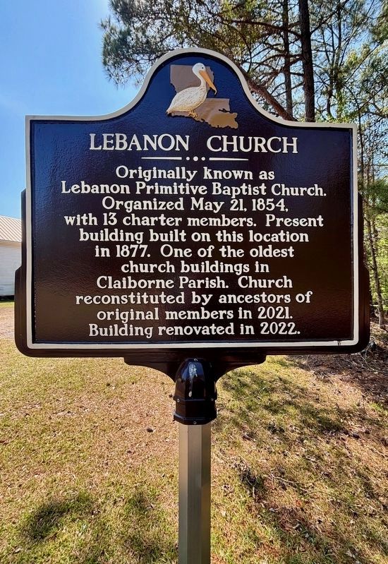
1. Lebanon Church Marker
Originally known as Lebanon Primitive Baptist Church. Organized May 21, 1854, with 13 charter members. Present building built on this location in 1877. One of the oldest church buildings in Claiborne Parish. Church reconstituted by ancestors of original members in 2021. Building renovated in 2022.
Erected 2026 by Families of Lebanon Church.
Topics. This historical marker is listed in these topic lists: Cemeteries & Burial Sites • Religion & Religious Structures. A significant historical year for this entry is 1854.
Location. 32° 50.085′ N, 93° 8.341′ W. Marker is in Haynesville, Louisiana, in Claiborne Parish. It is in Ruple Community. It is on White Oak Road 4 miles west of Louisiana Route 540, on the left when traveling west. Touch for map. Marker is at or near this postal address: 546 White Oak Road, Haynesville LA 71038, United States of America. Touch for directions.

Regionally, this marker is in North Louisiana. It is also in the American South, specifically in the Deep South, and in the Piney Woods. Globally, it is in North America, a Gulf of Mexico state, the Western Hemisphere, the Western World,
this page online
Other nearby markers. At least 8 other markers are within 9 miles of this marker, measured as the crow flies: Claiborne Parish War Memorial (approx. 5.7 miles away); Parish Courthouse (approx. 5.7 miles away); Hotel Claiborne (approx. 5.7 miles away); Claiborne Parish Court House (approx. 5.7 miles away); Homer College (CME) / African American Education in Louisiana (approx. 6.4 miles away); Carter G. Woodson High School (approx. 8.2 miles away); Haynesville Hospital (approx. 8.4 miles away); Potlikker (approx. 8.7 miles away). Touch for a list and map of all markers in Haynesville.
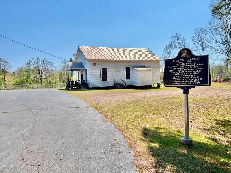
More about this marker. Marker next to 1877 church building and cemetery. More recent church buildings nearby.
Photographed by Wesley Harris, March 29, 2026
2. Lebanon Church Marker
Lebanon Church and Cemetery
Photographed by Wesley Harris, March 29, 2026
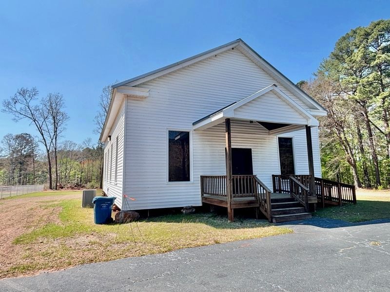
3. Lebanon Church building

Photographed by Wesley Harris, March 29, 2026
4. Lebanon Cemetery

Photographed by Wesley Harris, March 29, 2026
5. Church rests on piers of locally acquired stone.
Credits. This page was last revised on March 30, 2026. It was originally submitted on March 29, 2026, by Wesley Harris of Ruston, Louisiana. This page has been viewed 26 times since then. Photos: 1, 2, 3, 4, 5. submitted on March 29, 2026, by Wesley Harris of Ruston, Louisiana. • James Hulse was the editor who published this page.
