
Southwest Columbus in Franklin County, Ohio — The American Midwest (Great Lakes)
Prior to 1946 Private Property
⎯⎯⎯
1946-1950 Greenlawn Avenue Village
Photographed by Devry Becker Jones (CC0), March 28, 2026
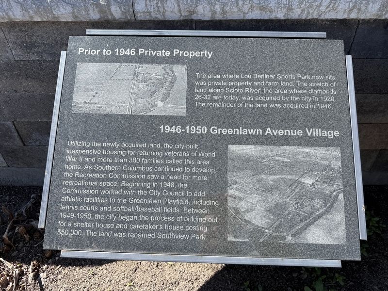
1. Prior to 1946 Private Property / 1946-1950 Greenlawn Avenue Village Marker
Prior to 1946 Private Property
The area where Lou Berliner Sports Park now sits was private property and farm land. The stretch of land along Scioto River, the area where diamonds 26-32 are today, was acquired by the city in 1920. The remainder of the land was acquired in 1946.
1946-1950 Greenlawn Avenue Village
Utilizing the newly acquired land, the city built inexpensive housing for returning veterans of World War II and more than 300 families called this family home. As Southern Columbus continued to develop, the Recreation Commission saw a need for more recreational space. Beginning in 1848, the Commission worked with the City Council to add athletic facilities to the Greenlawn Playfield, including tennis courts and softball/baseball fields. Between 1949-1950, the city began the process of bidding out for a shelter house and caretaker's house costing $50,000. The land was renamed Southview Park.
Erected 2014 by Columbus Recreation & Parks Department and The Berliner Action Team for Sports.
Topics. This historical marker is listed in these topic lists: African Americans • Parks & Recreational Areas
this page online
Location. 39° 56.244′ N, 83° 0.223′ W. Marker is in Columbus, Ohio, in Franklin County. It is in Southwest Columbus. It can be reached from Greenlawn Avenue east of Deckenbach Road, on the right when traveling east. Touch for map. Marker is at or near this postal address: 325 Greenlawn Ave, Columbus OH 43223, United States of America. Touch for directions.

Regionally, this marker is in Ohio’s Scioto Valley. It is also in the American Midwest and in the Corn Belt. Globally, it is in North America, the Western Hemisphere, the Western World, and the Anglosphere. Historically, it finds itself in what was once the Haudenosaunee (Iroquois) Confederacy, the territory of the Mississippian Culture, and the Northwest Territory.
Other nearby markers. At least 8 other markers are within walking distance of this marker: 1950-1978 Major Redevelopment (here, next to this marker); 1979-1984 Indoor Facilities and New Name (here, next to this marker); The Gary L. Ogle Complex at Berliner Park (here, next to this marker); Lou Berliner (here, next to this marker);
Photographed by Devry Becker Jones (CC0), March 28, 2026
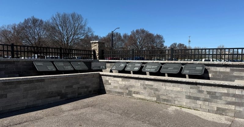
2. Markers about the history of Lou Berliner Sports Park
Credits. This page was last revised on March 30, 2026. It was originally submitted on March 30, 2026, by Devry Becker Jones of Washington, District of Columbia. This page has been viewed 13 times since then. Photos: 1, 2. submitted on March 30, 2026, by Devry Becker Jones of Washington, District of Columbia.
