
Southwest Columbus in Franklin County, Ohio — The American Midwest (Great Lakes)
Christopher Columbus Tournament
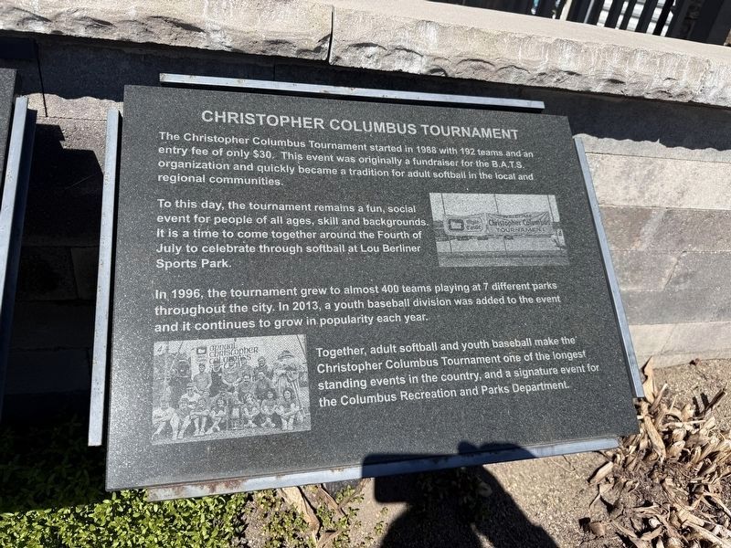
The Christopher Columbus Tournament started in 1988 with 192 teams and an entry fee of only $30. This event was originally a fundraiser for the B.A.T.S. organization and quickly became a tradition for adult softball in the local and regional communities.
To this day, the tournament remains a fun, social event for people of all ages, skill and backgrounds. It is a time to come together around the Fourth of July to celebrate through softball at Lou Berliner Sports Park.
In 1986, the tournament grew to almost 400 teams playing at 7 different parks throughout the city. In 2013, a youth baseball division was added to the event and it continues to grow in popularity each year.
Together, adult softball and youth baseball make the Christopher Columbus Tournament one of the longest standing events in the country, and a signature event for the Columbus Recreation and Parks Department.
Erected by Columbus Recreation & Parks Department and The Berliner Action Team for Sports.
Topics. This historical marker is listed in these topic lists: Parks & Recreational Areas • Sports. A significant historical year for this entry is 1988.
Location. 39° 56.246′ N,
this page online

Regionally, this marker is in Ohio’s Scioto Valley. It is also in the American Midwest and in the Corn Belt. Globally, it is in North America, the Western Hemisphere, the Western World, and the Anglosphere. Historically, it finds itself in what was once the Haudenosaunee (Iroquois) Confederacy, the territory of the Mississippian Culture, and the Northwest Territory.
Other nearby markers. At least 8 other markers are within walking distance of this marker: Berliner Action Team for Sports (here, next to this marker); "What Can We Do To Help?" (here, next to this marker); Change of Direction (here, next to this marker); Lou Berliner (here, next to this marker); The Gary L. Ogle Complex at Berliner Park (here, next to this marker); 1979-1984 Indoor Facilities and New Name
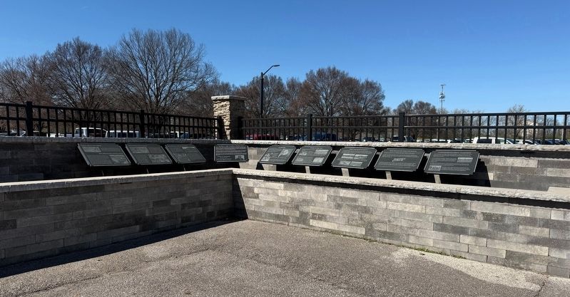
Photographed by Devry Becker Jones (CC0), March 28, 2026
2. Markers about the history of Lou Berliner Sports Park
Credits. This page was last revised on March 30, 2026. It was originally submitted on March 30, 2026, by Devry Becker Jones of Washington, District of Columbia. This page has been viewed 9 times since then. Photos: 1, 2. submitted on March 30, 2026, by Devry Becker Jones of Washington, District of Columbia.
