
Near Front Royal in Warren County, Virginia — The American South (Mid-Atlantic)
Belle Boyd and Jackson
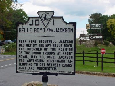
Photographed by J. J. Prats, September 29, 2006
1. Belle Boyd and Jackson Marker
Near here Stonewall Jackson was met by the spy, Belle Boyd, and informed of the position of the Union troops at Front Royal, May 23, 1862. Jackson was advancing northward attempting to get between Banks’ army and Winchester.
Erected 1929 by Conservation & Development Commission. (Marker Number JD-1.)
Topics and series. This historical marker is listed in these topic lists: Communications • War, US Civil. In addition, it is included in the Virginia Department of Historic Resources (DHR) series list. A significant historical date for this entry is May 23, 1862.
Location. Marker is missing. It was located near 38° 54.03′ N, 78° 12.958′ W. Marker was near Front Royal, Virginia, in Warren County. It was on Stonewall Jackson Highway (U.S. 340) south of the northern entrance to Skyline Drive, on the left when traveling south. Marker is at the entrance to the Skyline Caverns attraction. Touch for map. Marker was at or near this postal address: 10344 Stonewall Jackson Hwy, Front Royal VA 22630, United States of America. Touch for directions.

Regionally, this marker was in the Washington Metropolitan Area and in the Shenandoah
this page online
Other nearby markers. At least 8 other markers are within 2 miles of this location, measured as the crow flies: Belle Boyd (approx. 0.7 miles away); William E. Carson (approx. 0.9 miles away); Prospect Hill Cemetery (approx. 1.4 miles away); Soldier's Circle Confederate Memorial (approx. 1.4 miles away); Mosby's Men (approx. 1.4 miles away); Warren County High School and Massive Resistance (approx. 1½ miles away); Warren County Confederate Memorial (approx. 1.7 miles away); The Warren County Courthouse (approx. 1.7 miles away). Touch for a list and map of all markers in Front Royal.
Regarding Belle Boyd and Jackson. This marker is one of several from a driving tour of the Front Royal Battlefield. The markers are listed in
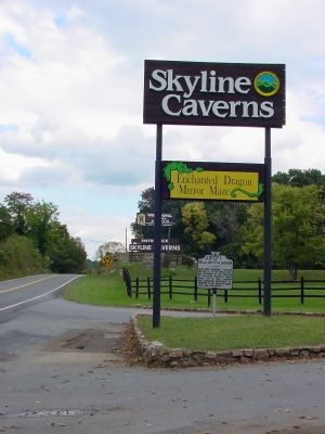
Photographed by J. J. Prats, September 29, 2006
2. Belle Boyd and Jackson Marker
Also see . . .
1. Belle Boyd, in Camp and Prison, Vol. 1. 1865 autobiography of Isabelle Boyd (1844–1900). Republished digitally by the University of North Carolina at Chapel Hill. (Submitted on October 7, 2006.)
2. Belle Boyd, in Camp and Prison, Vol. 2. (Submitted on October 7, 2006.)
3. Captain Belle Boyd, La Belle Rebelle. This website includes a photograph. (Submitted on October 7, 2006.)
4. The Shenandoah Spy by Francis Hamit. First part in a serialized novel about Belle Boyd, famous as “The Rebel Spy” and “The Cleopatra of the Secession” and others in the Confederate Secret Service. On Amazon.com. (Submitted on October 7, 2006.)
Additional keywords. General Thomas J. Jackson, Colonel John R. Kenly, Major-General Nathaniel P. Banks
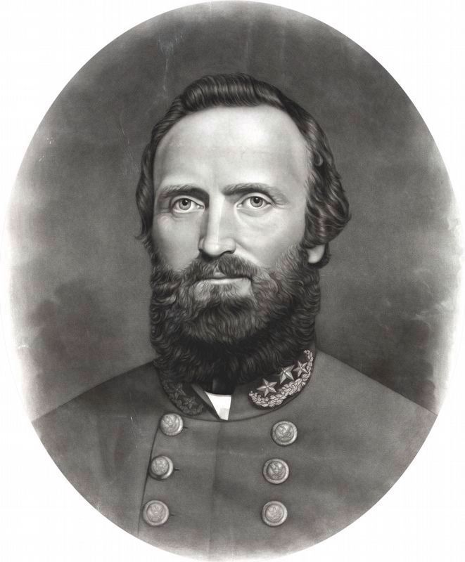
Library of Congress
3. Thomas J. “Stonewall” Jackson
Published by Taylor & Huntington between 1861 and 1865.
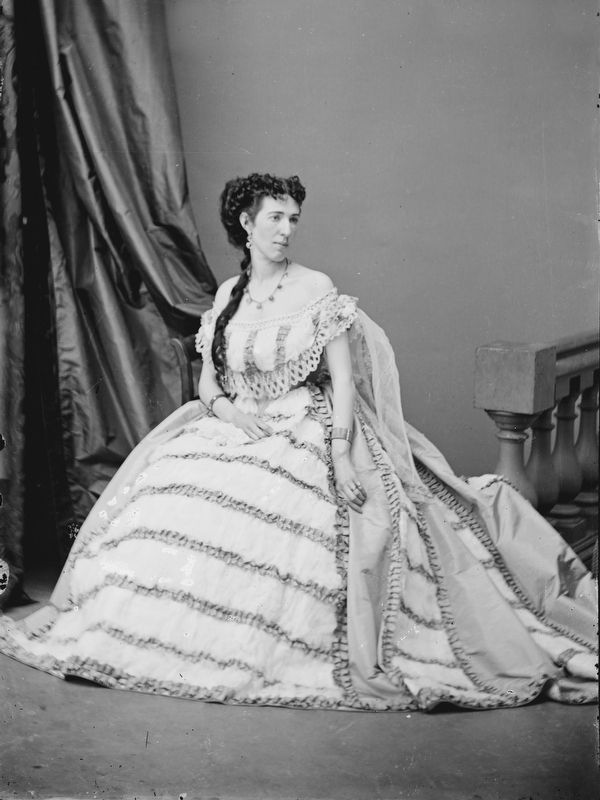
Library of Congress
4. Belle Boyd, Confederate Spy
Published between 1855 and 1865 - Brady-Handy Collection.
Credits. This page was last revised on March 31, 2026. It was originally submitted on October 7, 2006, by J. J. Prats of Powell, Ohio. This page has been viewed 2,845 times since then and 43 times this year. Last updated on March 31, 2026, by Caleb Kemplin of Virginia Beach, Virginia. Photos: 1, 2. submitted on October 7, 2006, by J. J. Prats of Powell, Ohio. 3, 4. submitted on September 23, 2020, by Allen C. Browne of Silver Spring, Maryland. • Devry Becker Jones was the editor who published this page.
