Little Malta in Toronto, Ontario — Central Canada (North America)
The Maltese Community of Toronto
Photographed by Caroline Record, March 23, 2026
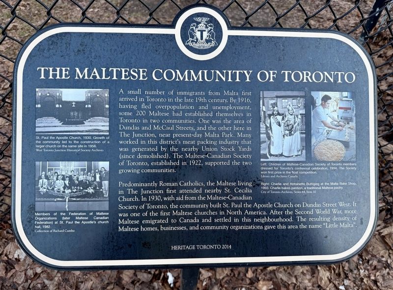
1. The Maltese Community of Toronto Marker
A small number of immigrants from Malta first arrived in Toronto in the late 19th century. By 1916, having fled overpopulation and unemployment, some 200 Maltese had established themselves in Toronto in two communities. One was the area of Dundas and McCaul Streets, and the other here in The Junction, near present-day Malta Park. Many worked in this district's meat packing industry that was generated by the nearby Union Stock Yards (since demolished). The Maltese-Canadian Society of Toronto, established in 1922, supported the two growing communities.
Predominantly Roman Catholics, the Maltese living in The Junction first attended nearby St. Cecilia Church. In 1930, with aid from the Maltese-Canadian Society of Toronto, the community built St. Paul the Apostle Church on Dundas Street West. It was one of the first Maltese churches in North America. After the Second World War, more Maltese emigrated to Canada and settled in this neighbourhood. The resulting density of Maltese homes, businesses, and community organizations gave this area the name "Little Malta".
Erected 2014 by Heritage Toronto.
Topics and series.
this page online
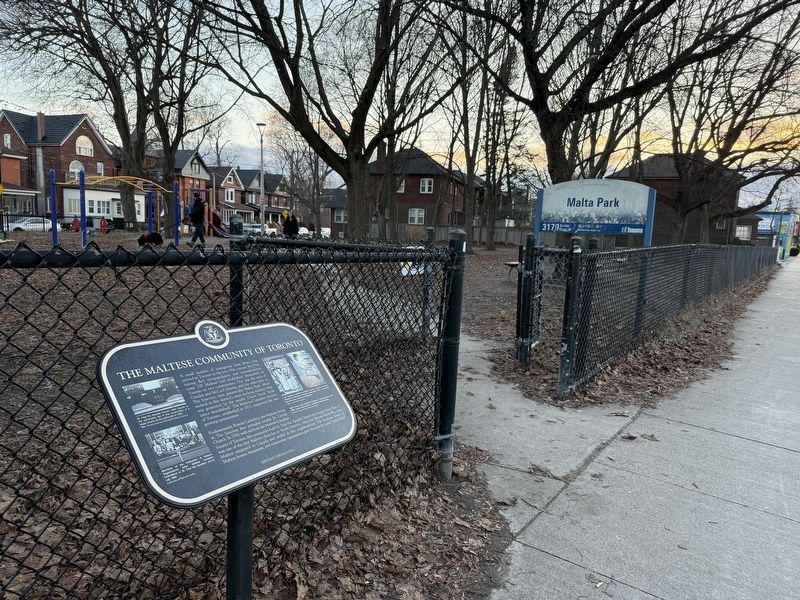
Location. 43° 39.929′ N, 79° 28.523′ W. Marker is in Toronto, Ontario. It is in Little Malta. It is on Dundas Street West, on the right when traveling east. Touch for map. Marker is at or near this postal address: 3179 Dundas Street W, Toronto ON M6P 2A1, Canada. Touch for directions.

Regionally, this marker is in Greater Toronto and on the Golden Horseshoe. It is also in Central Canada. Globally, it is in North America, on the Great Lakes, in the Western Hemisphere, in the Western World, and in the Anglosphere. Historically, it finds itself in what was once a British colony, the Viceroyalty of New France, the Haudenosaunee (Iroquois) Confederacy, and Rupert’s Land.
Other nearby markers. At least 8 other markers are within 3 kilometers of this marker, measured as the crow flies: Corporal Frederick George Topham, V.C. (approx. 1.2 kilometers away); Humbercrest Public School (approx. 1.4 kilometers
Photographed by Caroline Record, March 23, 2026
2. The Maltese Community of Toronto Marker
Credits. This page was last revised on April 4, 2026. It was originally submitted on April 1, 2026, by Caroline Record of Montréal, Québec. This page has been viewed 24 times since then. Photos: 1. submitted on April 1, 2026, by Caroline Record of Montréal, Québec. 2. submitted on April 2, 2026, by Caroline Record of Montréal, Québec. • Andrew Ruppenstein was the editor who published this page.
