San Diego in San Diego County, California — The American West (Pacific Coastal)
Old Mission Dam
Built 1813 - 1816
| — | San Diego | — |

Photographed by Craig Baker, March 17, 2026
1. Old Mission Dam Marker
A part of the first permanent irrigation project by padres and Indians in California.
Marker placed by the San Diego Chapter Daughters of the American Revolution, May 17th, 1941.
Erected 1941 by Daughters of the American Revolution.
Topics. This historical marker is listed in these topic lists: Indigenous Peoples and Communities • Natural Resources • Religion & Religious Structures • Settlements & Settlers. A significant historical date for this entry is May 17, 1941.
Location. 32° 50.364′ N, 117° 2.566′ W. Marker is in San Diego, California, in San Diego County. It can be reached from Father Junipero Serra Trail. Touch for map. Marker is at or near this postal address: 1 Father Junipero Serra Trail, San Diego CA 92119, United States of America. Touch for directions.

Regionally, this marker is in the Peninsular Ranges. It is also in the American Borderlands and on the Pacific Coast. Globally, it is in North America, on the Ring of Fire, on the Pacific Rim, in the Western Hemisphere, in the Western World, and in the Anglosphere. Historically, it finds itself in what was once New Spain
this page online
Other nearby markers. At least 8 other markers are within 6 miles of this marker, measured as the crow flies: Providing Year-Round Water (within shouting distance of this marker); Mission Dam and Flume (about 300 feet away, measured in a direct line); Mission Trails - Formerly Camp Elliott (approx. 2.1 miles away); KCBQ “Top 40” Personalities (approx. 2.8 miles away); Dr. Martin Luther King, Jr. (approx. 4.8 miles away); San Diego State University (approx. 4.8 miles away); La Capilla (approx. 5.3 miles away); The Church (approx. 5.3 miles away). Touch for a list and map of all markers in San Diego.
More about this marker. Apparently, part of the text was changed after installation.
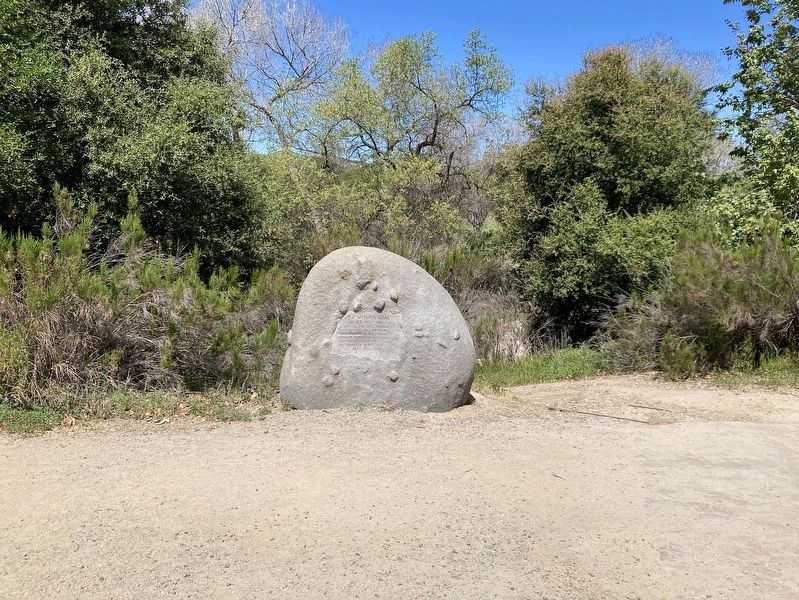
Photographed by Craig Baker, March 17, 2026
2. Old Mission Dam Marker
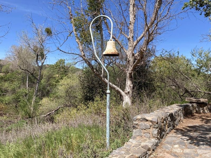
Photographed by Craig Baker, March 17, 2026
3. El Camino Real Bell
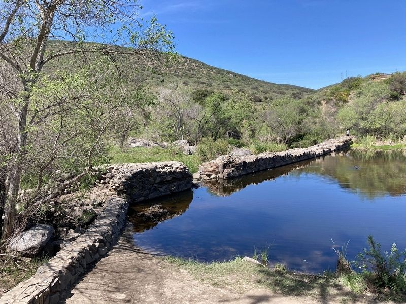
Photographed by Craig Baker, March 17, 2026
4. Mission Dam
Credits. This page was last revised on April 5, 2026. It was originally submitted on April 3, 2026, by Craig Baker of Sylmar, California. This page has been viewed 23 times since then. Photos: 1, 2, 3, 4. submitted on April 3, 2026, by Craig Baker of Sylmar, California.
