
Plain Township near New Albany in Franklin County, Ohio — The American Midwest (Great Lakes)
Smith’s Burying Ground: Pioneer Cemetery
(Later called the "Burnside" Cemetery)
Photographed by Jamie Abel, February 12, 2011
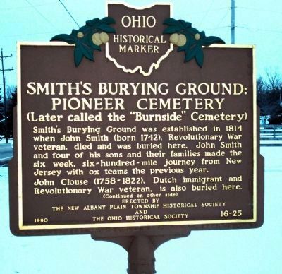
1. Smith’s Burying Ground : Pioneer Cemetery Marker, Side 1
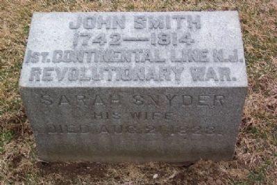
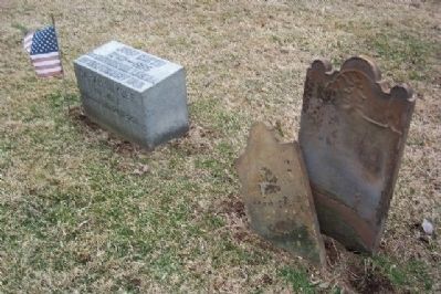
Smith’s Burying Ground was established in 1814 when John Smith (born 1742), Revolutionary War veteran, died and was buried here. John Smith and four of his sons and their families made the six week, six-hundred-mile journey from New Jersey with ox teams the previous year.
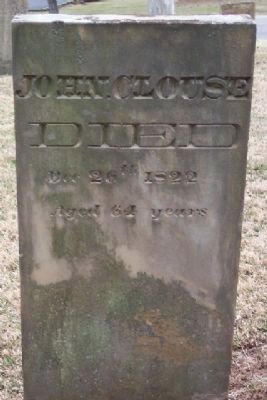
John Clouse (1758–1822), Dutch immigrant and Revolutionary War veteran, is also buried here.
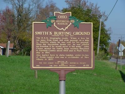
The D.A.R. biography reads: “When a boy he ran away from home and stole passage on a ship to America where he was sold for his passage. When the Revolution broke out, he was offered his freedom if he would serve in the army.” John Clouse moved his family from western Maryland to Fairfield County about 1805 and to Plain Township in 1814.
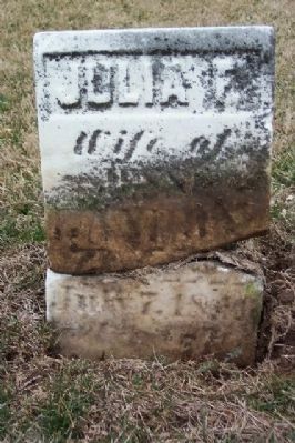
Also buried here is Julia Landon, sister-in-law of Noble Landon who was a co-founder of New Albany in 1837.
Erected 1990 by The New Albany Plain Township Historical Society and The Ohio Historical Society. (Marker Number 16-25.)
Topics and series. This historical marker is listed in these topic lists: Cemeteries & Burial Sites • Settlements & Settlers • War, US Revolutionary. In addition, it
this page online
Location. 40° 6.296′ N, 82° 46.669′ W. Marker is near New Albany, Ohio, in Franklin County. It is in Plain Township. It is on Johnstown Road (U.S. 62) north of Clouse Road, on the left when traveling north. The marker stands between New Albany and Johnstown. Touch for map. Marker is at or near this postal address: 10842 Johnstown Rd, New Albany OH 43054, United States of America. Touch for directions.

Regionally, this marker is in the Scioto Valley and in the Columbus Metropolitan Area. It is also in the American Midwest and in the Corn Belt. Globally, it is in North America, the Western Hemisphere, the Western World, and the Anglosphere. Historically, it finds itself in what was once the Haudenosaunee (Iroquois) Confederacy, the territory of the Mississippian Culture, and the Northwest Territory.
Other nearby markers. At least 8 other markers are within 3 miles of this marker, measured as the crow flies: Archibald's Mill (approx. 1.1 miles away); Mills of Plain Township (approx. 1.4 miles
Photographed by J. J. Prats, October 21, 2006
2. Smith’s Burying Ground Marker, Side 2
Photographed by J. J. Prats, October 21, 2006
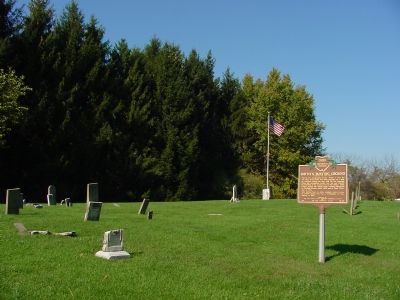
3. Burnside Cemetery
Photographed by Jamie Abel, February 12, 2011
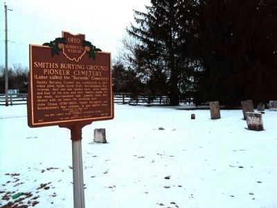
4. Burnside Cemetery
Photographed by William Fischer, Jr., March 8, 2009
5. John and Sarah Smith Replacement Marker
Photographed by William Fischer, Jr., March 8, 2009
6. John and Sarah Smith Original and Replacement Markers
Photographed by William Fischer, Jr., March 8, 2009
7. John Clouse Marker
Photographed by William Fischer, Jr., March 8, 2009
8. Julia F. Landon Marker (broken)
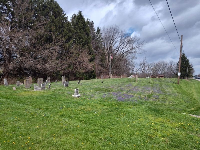
Photographed by Craig Doda, April 3, 2026
9. Smith’s Burying Ground
Credits. This page was last revised on July 6, 2026. It was originally submitted on November 11, 2006, by J. J. Prats of Powell, Ohio. This page has been viewed 3,668 times since then and 65 times this year. Last updated on April 4, 2026, by Craig Doda of Napoleon, Ohio. Photos: 1. submitted on February 13, 2011, by Jamie Abel of Westerville, Ohio. 2, 3. submitted on November 11, 2006, by J. J. Prats of Powell, Ohio. 4. submitted on February 13, 2011, by Jamie Abel of Westerville, Ohio. 5, 6, 7, 8. submitted on March 28, 2009, by William Fischer, Jr. of Reynoldsburg, Ohio. 9. submitted on April 4, 2026, by Craig Doda of Napoleon, Ohio. • Devry Becker Jones was the editor who published this page.
